Curated by PaddleWays
RouteClass II
- Distance
- 9.9 mi
- Paddle time
- ~2.5 hrs
- Best for
- Kayak, canoe
- Put-in → take-out
- Georgetown City Park Access → Jonah Access
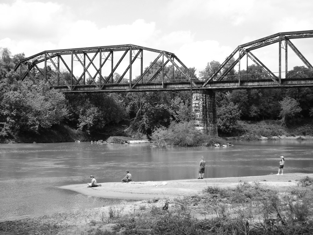
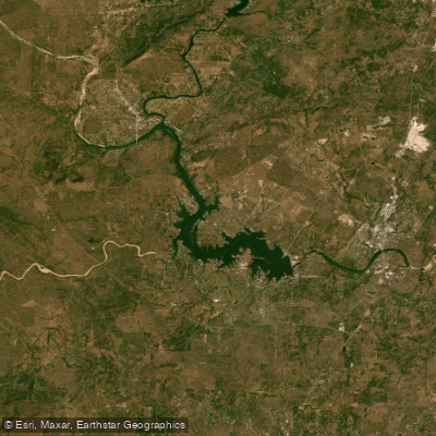
The San Gabriel River is a scenic waterway flowing through central Texas, originating from springs east of Burnet and traveling eastward across Burnet, Williamson, and Milam counties. The river is formed by the confluence of its North and South Forks near Georgetown, with the main stem continuing for approximately 75 miles before joining the Little River near Rockdale.
Paddling opportunities abound on the San Gabriel, with sections suitable for various skill levels. The river offers a mix of Class II to III rapids interspersed with calmer stretches, making it ideal for intermediate paddlers. Popular runs include the 10-mile Georgetown City Park to Jonah section (Class II+), the 8-mile North Fork West of 183 stretch (Class II-III), and the scenic 18-mile Liberty Hill to Georgetown route on the South Fork (Class II).
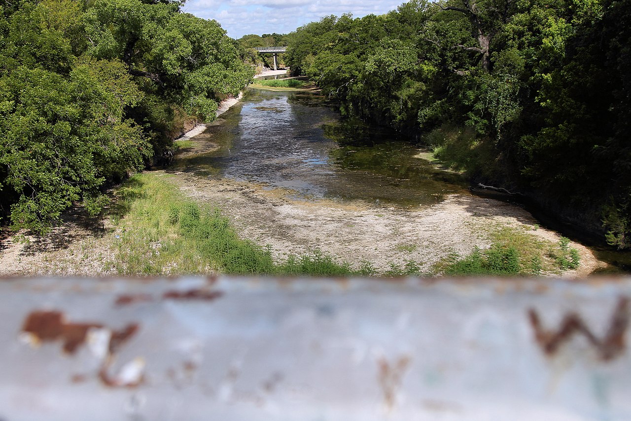
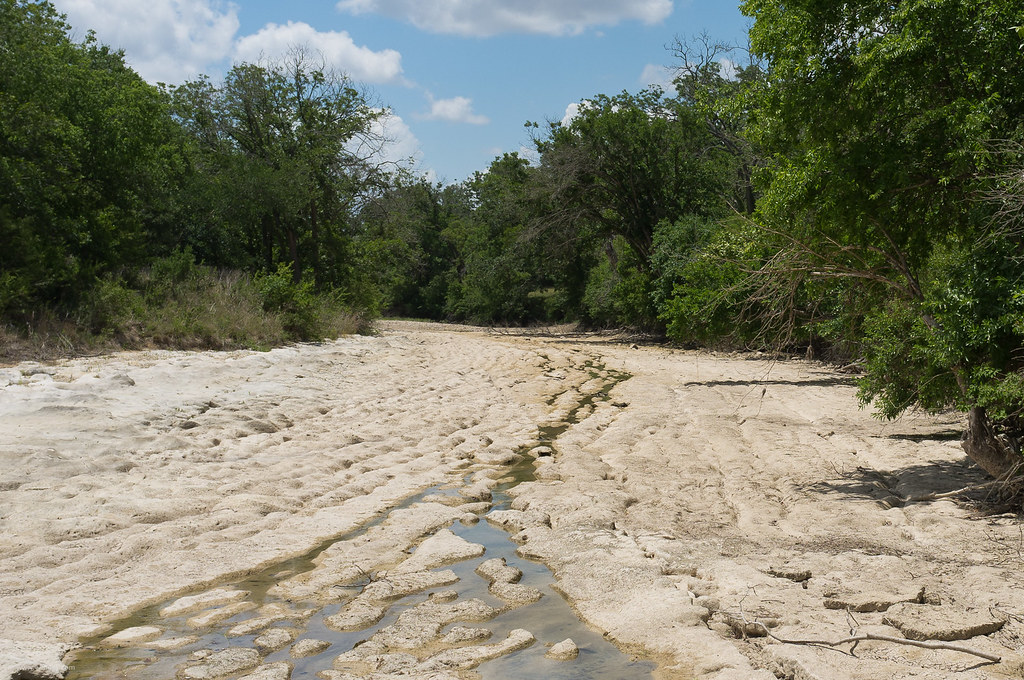
Water levels fluctuate seasonally, with the best paddling typically occurring in spring and early summer following rainfall. Late summer and fall often see lower water levels, which can impact navigability in some sections. Paddlers should always check current conditions before planning their trip.
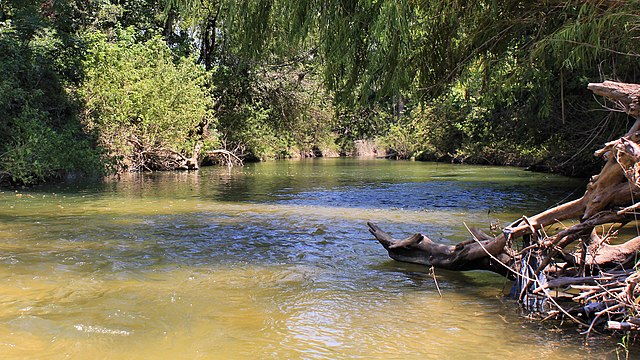
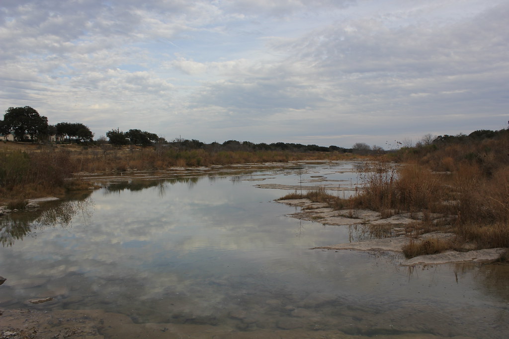
The river corridor supports diverse flora and fauna typical of the Texas Hill Country. Cypress trees line portions of the banks, creating picturesque tunnels in some areas. Wildlife sightings may include various fish species, birds, and occasional mammals.
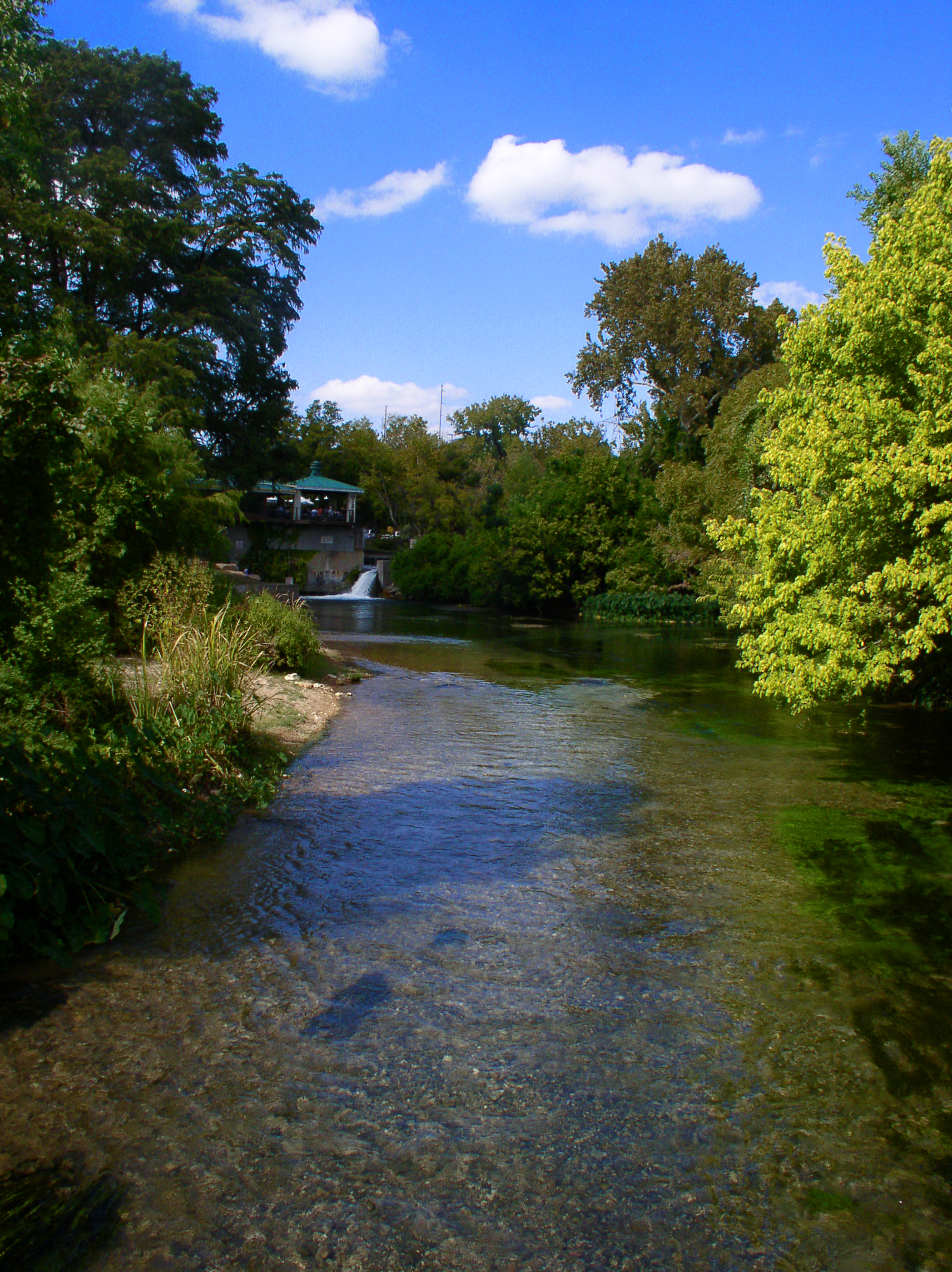
Key landmarks include Blue Hole Park in Georgetown, a popular swimming and paddling spot on the South Fork, and San Gabriel Park, which offers easy river access and recreational facilities. The river passes through both rural landscapes and urban areas, providing a varied paddling experience. Primary access points are found near Georgetown, Liberty Hill, and various county road crossings. Georgetown serves as the main nearby city, with several smaller towns along the river's course providing additional access options.
Historically, the San Gabriel River played a role in early Texas settlement and continues to be an important water source and recreational asset for the region. Paddlers should be aware of and respect private property along the banks, as well as any local regulations regarding river use.
For those seeking multi-day adventures, the 37-mile section from west of Georgetown through Williamson and Milam counties offers potential for overnight trips. However, paddlers should carefully plan camping locations and be mindful of property boundaries.
Safety considerations include checking water levels, being prepared for varying rapid difficulties, and scouting unfamiliar sections. Strainers and undercut rocks can pose hazards in some areas, particularly after high water events.
Overall, the San Gabriel River provides a quintessential Texas Hill Country paddling experience, offering a blend of scenic beauty, moderate whitewater challenges, and rich natural history.
Curated routes
Hand-picked by the PaddleWays team, with put-ins, take-outs, paddle times and the hazards along the way.
RouteClass II
Hazards
No paddler has reported a hazard here yet, so these are the dams, falls and big rapids on our map. Hazards change with flows and storms, so check them before you launch.
From the community
Real trips from PaddleWays paddlers: which route they ran, how the flows were, and what to watch for.
Loading trip reports
Quinton H.
1,960 cfs at Laneport
San Gabriel - Georgetown
See exactly where the public can get on and off the river. Launch points and boat ramps are paired with PaddleWays' public land data so you know where you can legally land.
Public shoreline
24%of the river's shoreline is public
Most of the riverbank is private. Launch, land and camp only at public access points.
Flows, weather and a route-by-route verdict, so you know which stretch of the San Gabriel River is worth paddling today.
All Flow Stations
Live flows, marked hazards and fresh trip reports from paddlers who were just on the water, all in one place.





Every user gets free access to launch points, boat ramps, and public property parcels.
Loading popular cities...
PaddleWays gives you everything you need to plan smarter, paddle better, and own every trip from first launch to takeout.