Smithers Lake
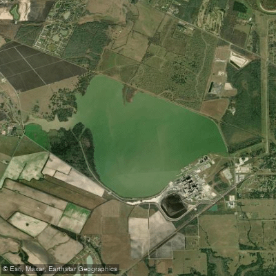
Smithers Lake
- Boat Ramps
- 0
- Access Points
- 0
- Campsites
- 0
Smithers Lake is a 2,480-acre reservoir located about 10 miles southeast of Richmond in Fort Bend County, Texas. The lake was created in 1957 on Dry Creek, a tributary of Big Creek which flows into the Brazos River. With a capacity of 18,000 acre-feet, Smithers Lake serves as a cooling water supply for a nearby power plant.
The lake has a surface elevation of 66 feet above sea level. Its relatively small 24.2 square mile watershed means water levels are supplemented by purchased water from the Richmond Rice Association canal system to maintain consistent levels for power plant operations.
Smithers Lake offers opportunities for fishing, with species like largemouth bass, catfish and sunfish present. However, there don't seem to be any specific regulations or facilities for paddlers. Given its primary purpose as an industrial cooling reservoir, paddlers should exercise caution and check with local authorities regarding any restrictions before planning a trip.
The lake's location in the coastal plains of southeast Texas means paddlers can expect a subtropical climate with hot summers and mild winters. The surrounding landscape consists of prairie and woodlands typical of the area. Wildlife includes waterfowl and other birds.
While Smithers Lake's industrial nature and lack of dedicated recreational facilities may limit its appeal for paddling compared to other area lakes, its proximity to Houston could make it a convenient option for local paddlers seeking less crowded waters. However, visitors should be prepared for potentially limited amenities or access points.
Water access, boat ramps & amenities
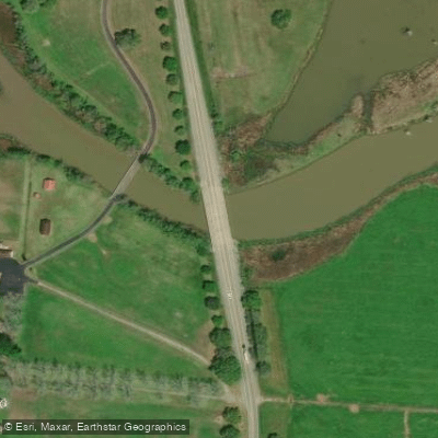
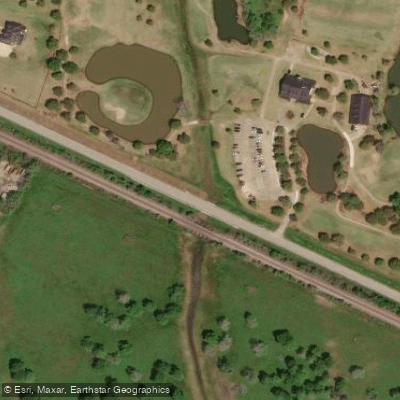
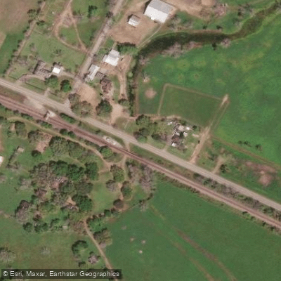
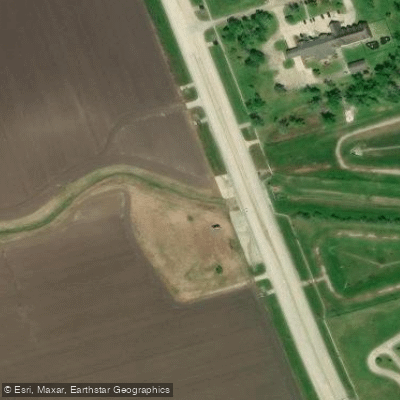
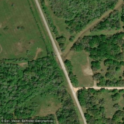
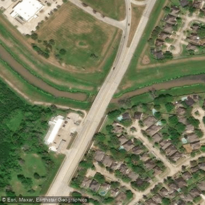
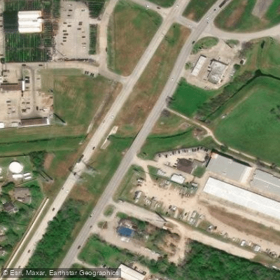
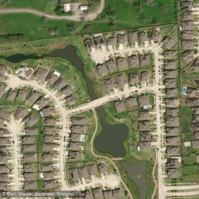
Learn how to get on Smithers Lake. Uncover great paddling access points, boat ramps, and all the facilities you need for an unforgettable day on the water. Some locations shown may border or include private property. Always check property boundaries and applicable regulations before visiting. PaddleWays's Public & Private Land layer can help you plan your access with confidence.
Paddle smarter with real-time insights
Whether you're en route and conditions shift or you're looking for the best spot based on current flows, we enable you to make informed decisions on the fly.








Find Places to Paddle

Over 400,000 Places to Paddle
Every user gets free access to launch points, boat ramps, and public property parcels.


Water and weather conditions (10 day forecast)
See the best times to paddle Smithers Lake and check the forecast before you go.
No forecast data available.
Paddling near Smithers Lake

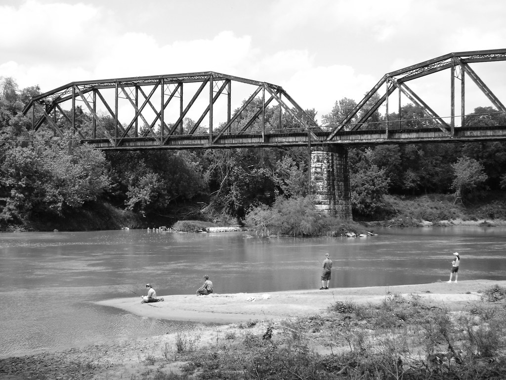
Brazos River
Colorado River
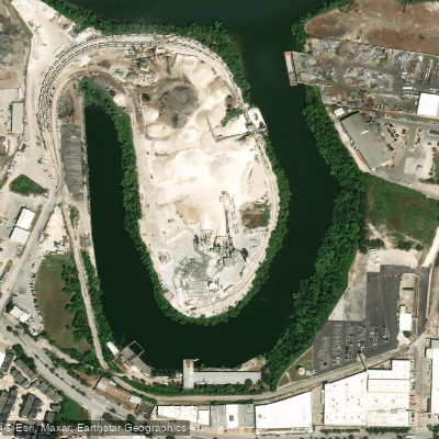
Turkey Bend
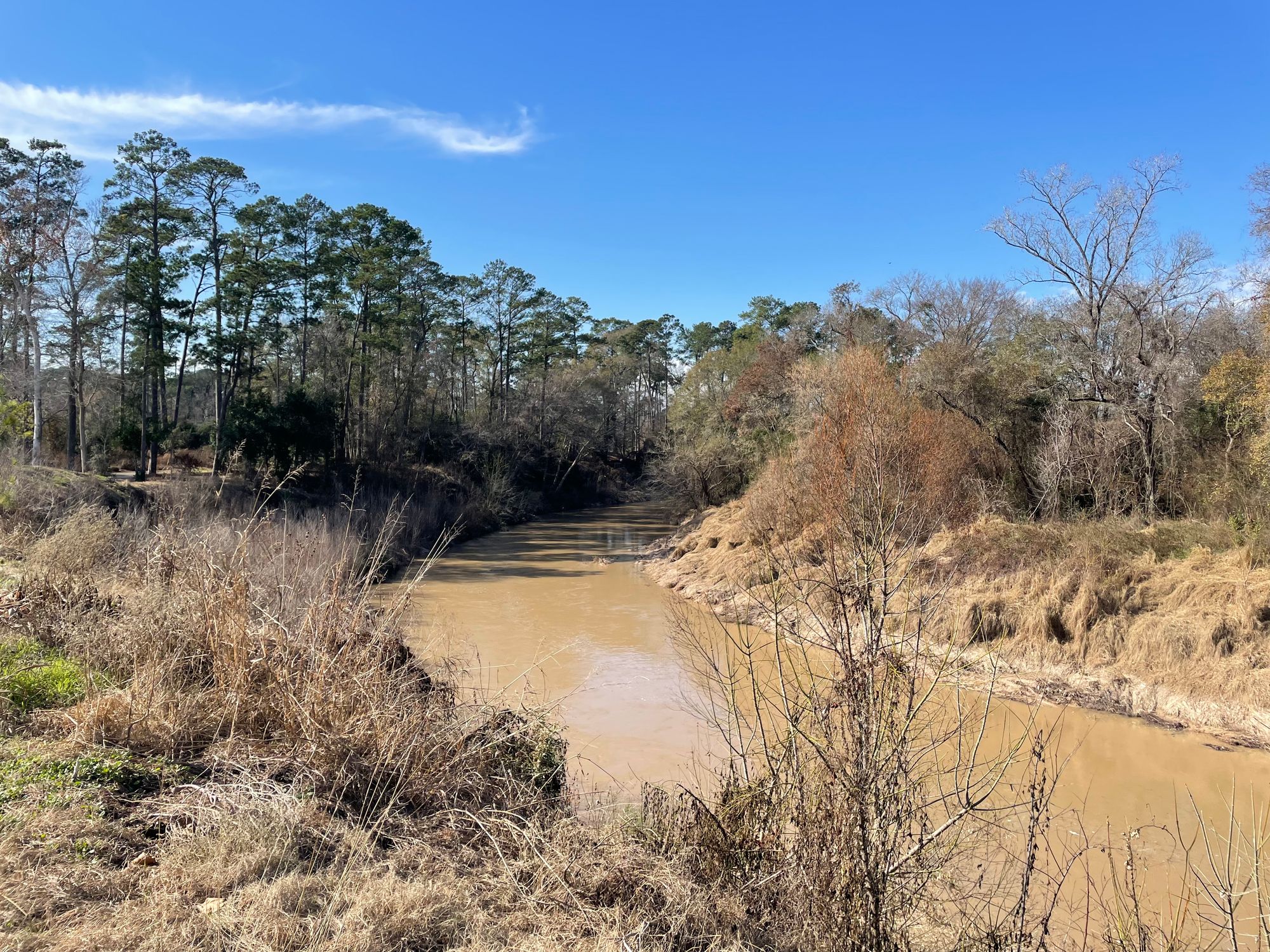
Cypress Creek
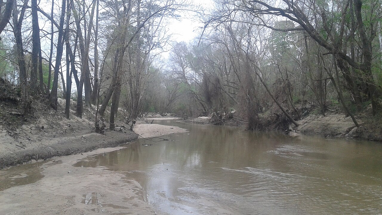
West Fork San Jacinto River
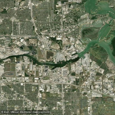
Houston Ship Channel
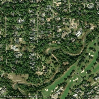
Buffalo Bayou
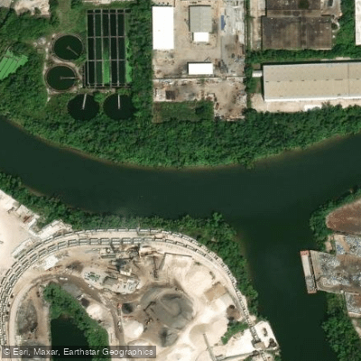
Turkey Bend Cutoff
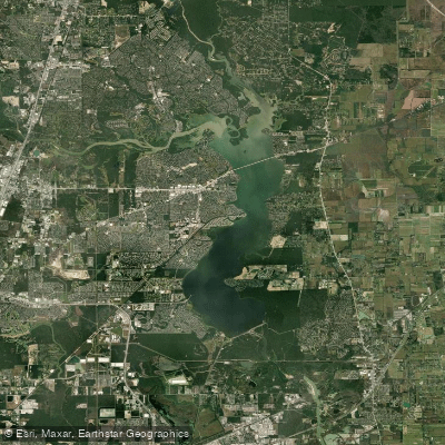
Lake Houston
Explore Texas waters
Top paddling waters
Popular Cities
Loading popular cities...
Explore near Smithers Lake
Access points
Nearby waters
More in Texas

Smarter Paddling Starts in the App.
Paddleways gives you everything you need to plan smarter, paddle better, and own every trip from first launch to takeout.