Butler Wash
Butler Wash
- Boat Ramps
- 0
- Access Points
- 0
- Campsites
- 25
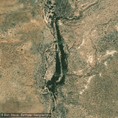
Butler Wash, located in southeastern Utah, is a significant drainage system that flows southward through Cedar Mesa before joining the San Juan River. While not a major river itself, Butler Wash carves a scenic canyon through the desert landscape, creating a unique ecosystem and providing access to numerous archaeological sites. The wash originates in the highlands of Cedar Mesa and descends through steep-walled canyons, eventually reaching its confluence with the San Juan River near the famous Goosenecks. Along its course, Butler Wash collects water from various smaller tributaries, creating a network of side canyons that are popular among hikers and canyoneers.
While Butler Wash itself is typically dry for much of the year, flash floods can occur during monsoon seasons, making it a dynamic and potentially dangerous environment. The wash's intermittent flow has carved impressive rock formations and created pockets of lush vegetation in an otherwise arid landscape.
For outdoor enthusiasts, Butler Wash offers diverse recreational opportunities. A 3.4-mile 4x4 route along County Road 240 provides access to stunning viewpoints over the wash. Hikers can explore the Butler Wash Ruins, an easily accessible Ancestral Puebloan site just a short 1-mile round trip hike from the main road. This site offers a glimpse into the rich cultural history of the region.
The area surrounding Butler Wash is known for its concentration of Ancestral Puebloan ruins and rock art panels. The Butler Wash Ruins and nearby Wolfman Panel are prime examples of the archaeological treasures found in this area. These sites are protected, and visitors should practice Leave No Trace principles and respect all cultural artifacts.
Access to Butler Wash is primarily from Highway 95, with the Butler Wash Ruins trailhead located about 20 minutes west of Blanding, Utah. The nearest major town is Bluff, which serves as a hub for exploring the greater Cedar Mesa and Bears Ears National Monument area.
While Butler Wash itself is not suitable for paddling, it's worth noting that it feeds into the San Juan River, a popular multi-day rafting destination. Those interested in water-based adventures can explore the San Juan River from nearby launch points such as Sand Island or Bluff.
Visitors to Butler Wash should be prepared for desert conditions, including extreme heat in summer and the potential for sudden weather changes. Always check weather forecasts and road conditions before venturing into the area, and carry plenty of water and supplies. The remote nature of the region requires self-sufficiency and respect for the fragile desert ecosystem.
Water access, boat ramps & amenities
Learn how to get on Butler Wash. Uncover great paddling access points, boat ramps, and all the facilities you need for an unforgettable day on the water. Some locations shown may border or include private property. Always check property boundaries and applicable regulations before visiting. PaddleWays's Public & Private Land layer can help you plan your access with confidence.
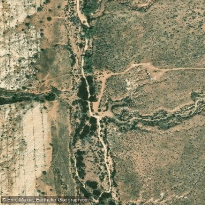
Fish Mouth Campground
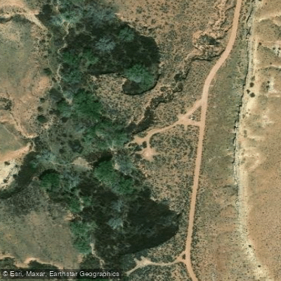
Monarch Cave Campground
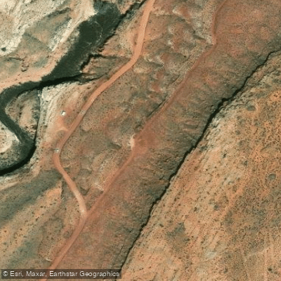
Lower Butler Wash Campground
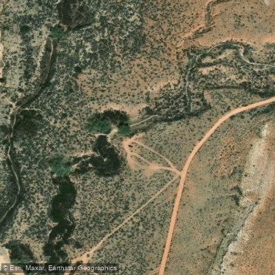
Comb Wash Campground
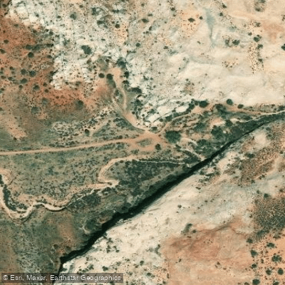
Fish Canyon Campground
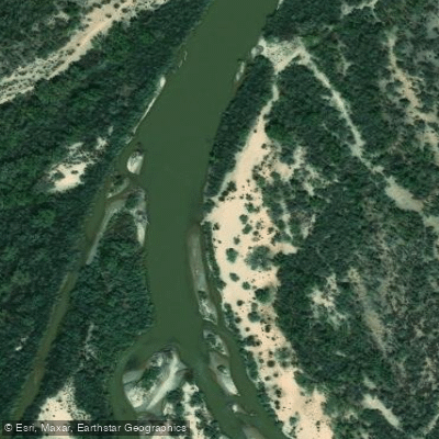
Desecration Campground
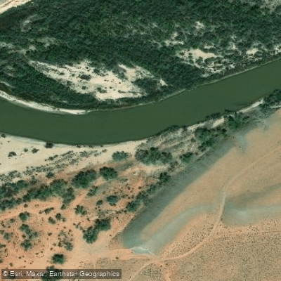
3 Mile Campground
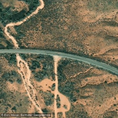
Comb Wash Dispersed Campground
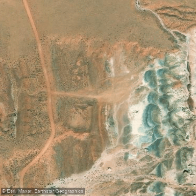
Comb Wash Campground 2
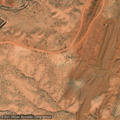
Comb Wash Campground 3
Paddle smarter with real-time insights
Whether you're en route and conditions shift or you're looking for the best spot based on current flows, we enable you to make informed decisions on the fly.








Find Places to Paddle

Over 400,000 Places to Paddle
Every user gets free access to launch points, boat ramps, and public property parcels.


Water and weather conditions (10 day forecast)
See the best times to paddle Butler Wash and check the forecast before you go.
No forecast data available.
Paddling near Butler Wash
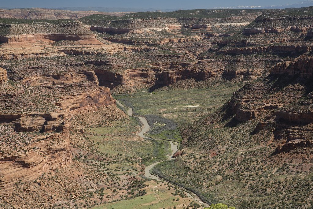
Dolores River

Colorado River
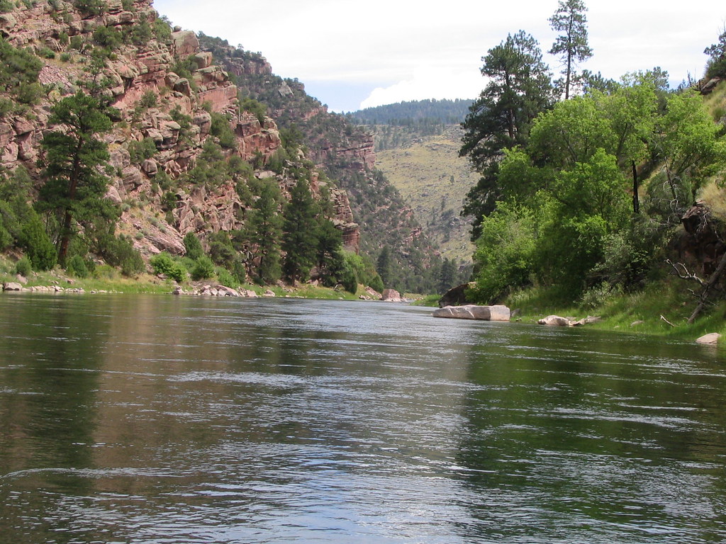
Green River
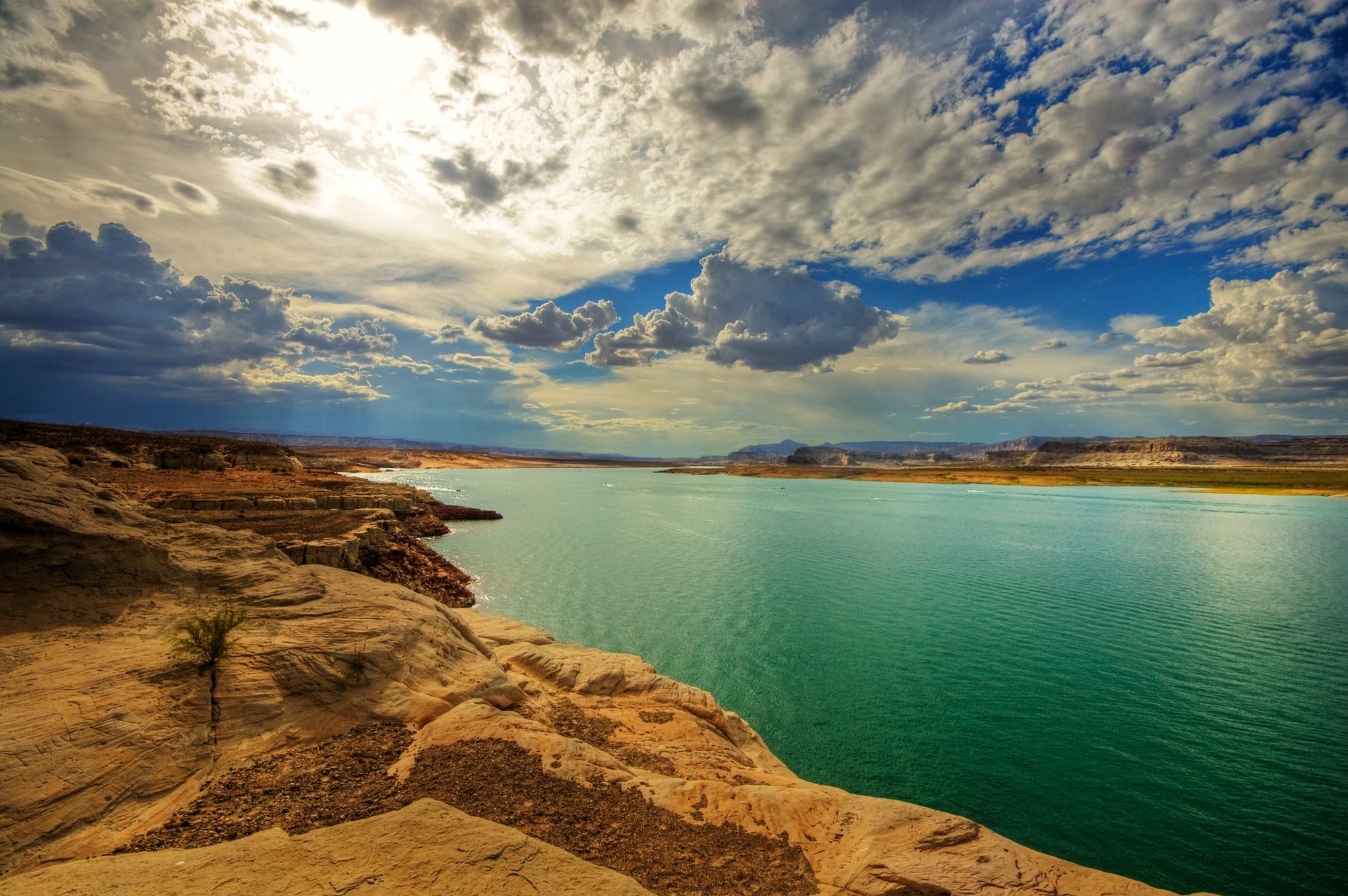
Lake Powell
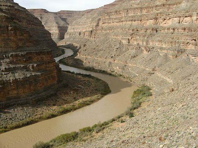
San Juan River
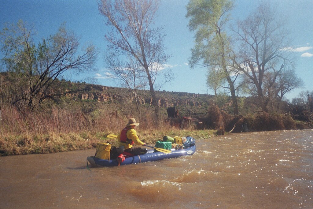
San Miguel River
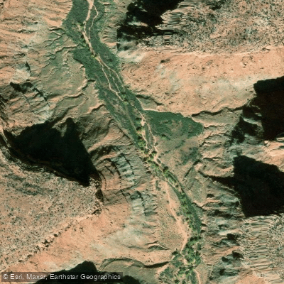
Kane Springs Creek

McPhee Reservoir
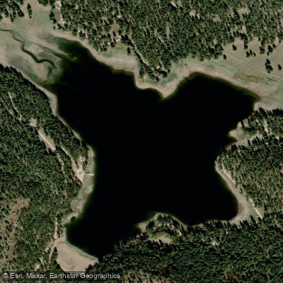
Buckeye Reservoir
Explore Utah waters
Top paddling waters
Popular Cities
Loading popular cities...
Explore near Butler Wash
Access points
Nearby waters
More in Utah

Smarter Paddling Starts in the App.
Paddleways gives you everything you need to plan smarter, paddle better, and own every trip from first launch to takeout.