Rush Lake
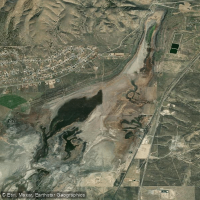
Rush Lake
- Boat Ramps
- 0
- Access Points
- 0
- Campsites
- 0
Rush Lake is a shallow, naturally occurring brackish lake in Tooele County, Utah, located in Rush Valley near the town of Stockton, approximately 5 miles south of Tooele. The lake sits at an elevation of 5,000 feet and formed when shore currents from ancient Lake Bonneville deposited a sandbar that sealed off this section of the valley, creating a unique geological feature between the Oquirrh Mountains and South Mountain. This ephemeral waterbody is highly dependent on precipitation and water levels, with maximum depths reaching only 16 feet and an average depth of 3 feet.
The lake's shallow nature and fluctuating water levels make it suitable primarily for small watercraft during periods of adequate water. Visibility is typically poor (1-5 feet), and water temperatures range from 65-70°F during summer months.
Access to Rush Lake is via improved gravel roads heading west from downtown Stockton. The Bureau of Land Management maintains portable toilets at the site, though there are no permanent recreational facilities, boat ramps, or campgrounds directly at the lake. Paddlers should be prepared to launch from shore and pack out all waste. The lake is open to public access despite some surrounding private land ownership.
The surrounding landscape consists of salt flats, rocky outcrops, and desert scrub vegetation, offering a stark desert beauty. Wildlife may include waterfowl during migration periods. The lake historically supported populations of largemouth bass, though current fish populations are uncertain given the fluctuating water levels.
Due to the extremely shallow depth, muddy conditions, and variable water levels, Rush Lake is best suited for casual exploration with kayaks or canoes during wet years. Paddlers should check current water conditions before visiting, as the lake can be reduced to a mere puddle during drought periods. The remote desert setting provides solitude but requires self-sufficiency and proper preparation for the harsh environment.
Water access, boat ramps & amenities
Learn how to get on Rush Lake. Uncover great paddling access points, boat ramps, and all the facilities you need for an unforgettable day on the water. Some locations shown may border or include private property. Always check property boundaries and applicable regulations before visiting. PaddleWays's Public & Private Land layer can help you plan your access with confidence.
Paddle smarter with real-time insights
Whether you're en route and conditions shift or you're looking for the best spot based on current flows, we enable you to make informed decisions on the fly.







Find Places to Paddle

Over 400,000 Places to Paddle
Every user gets free access to launch points, boat ramps, and public property parcels.


Water and weather conditions (10 day forecast)
See the best times to paddle Rush Lake and check the forecast before you go.
No forecast data available.
Paddling near Rush Lake
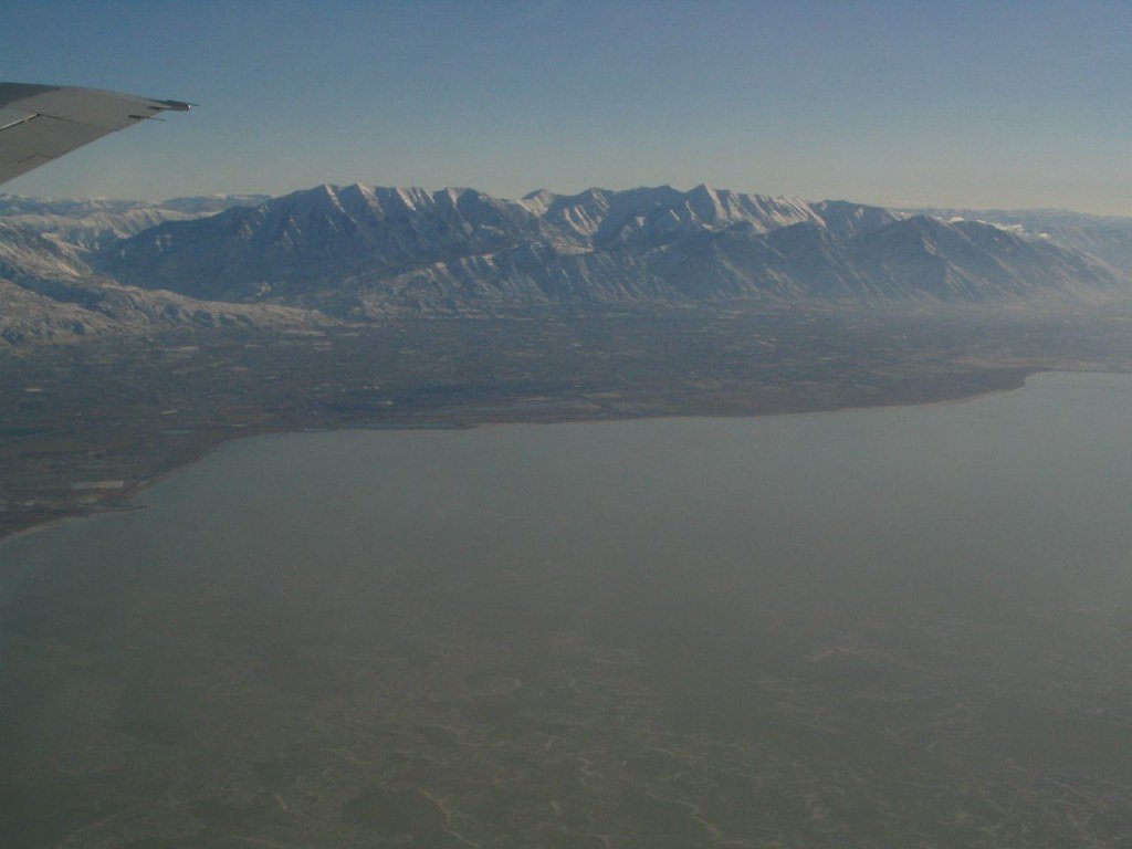
Utah Lake
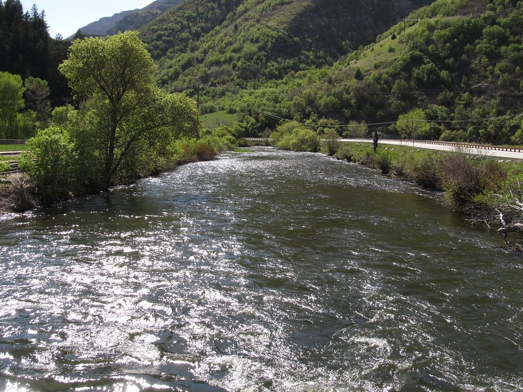
Provo River
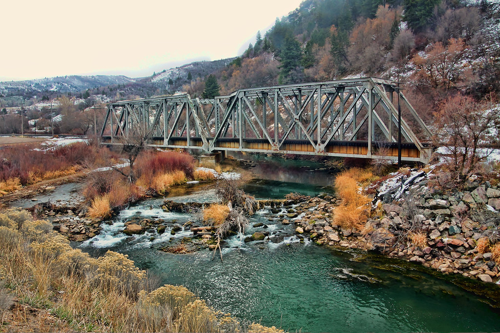
Weber River
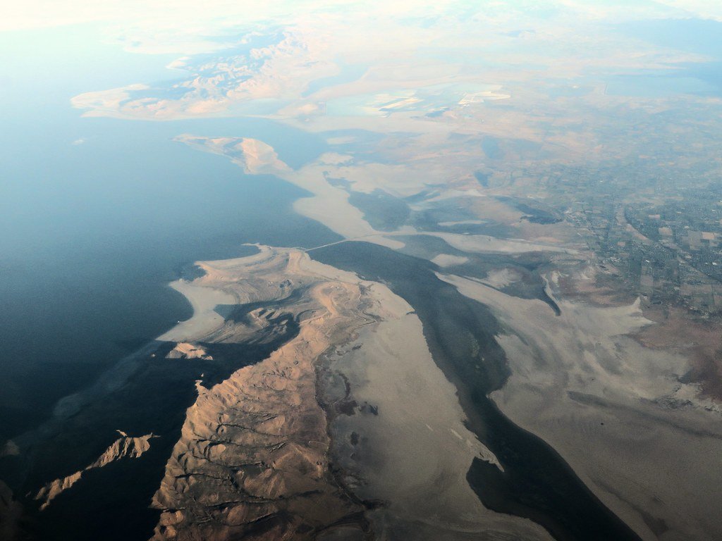
Great Salt Lake
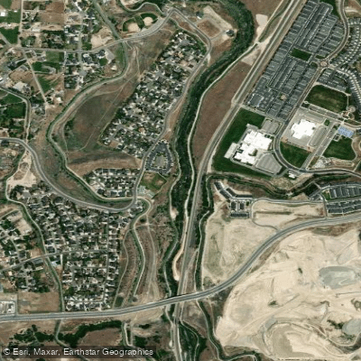
Jordan River
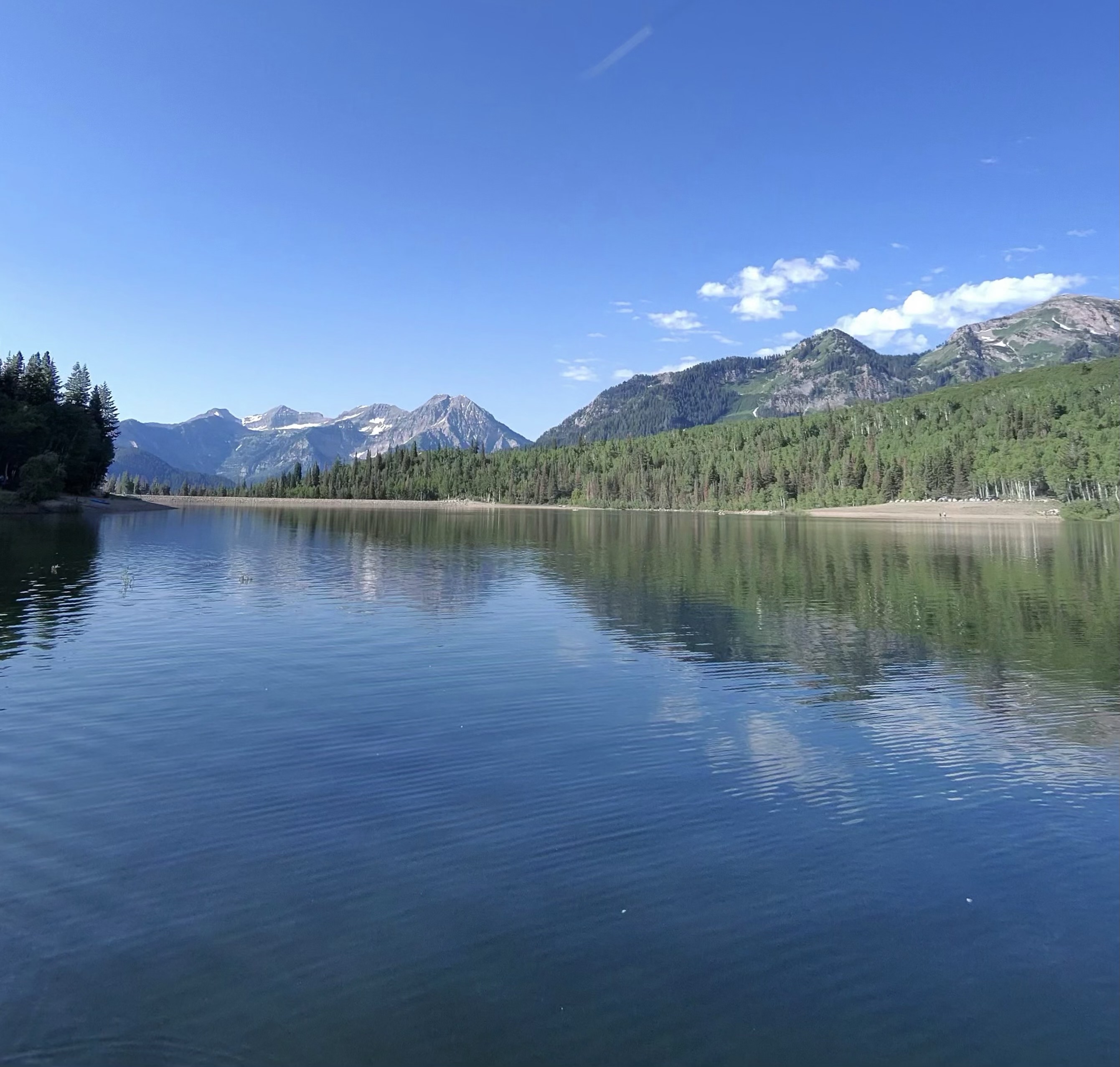
Silver Lake Flat Reservoir
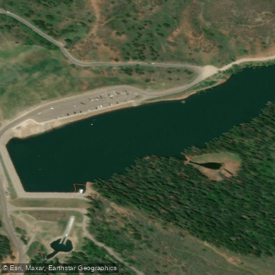
Tibble Fork Reservoir
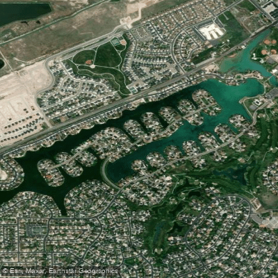
Stansbury Lake
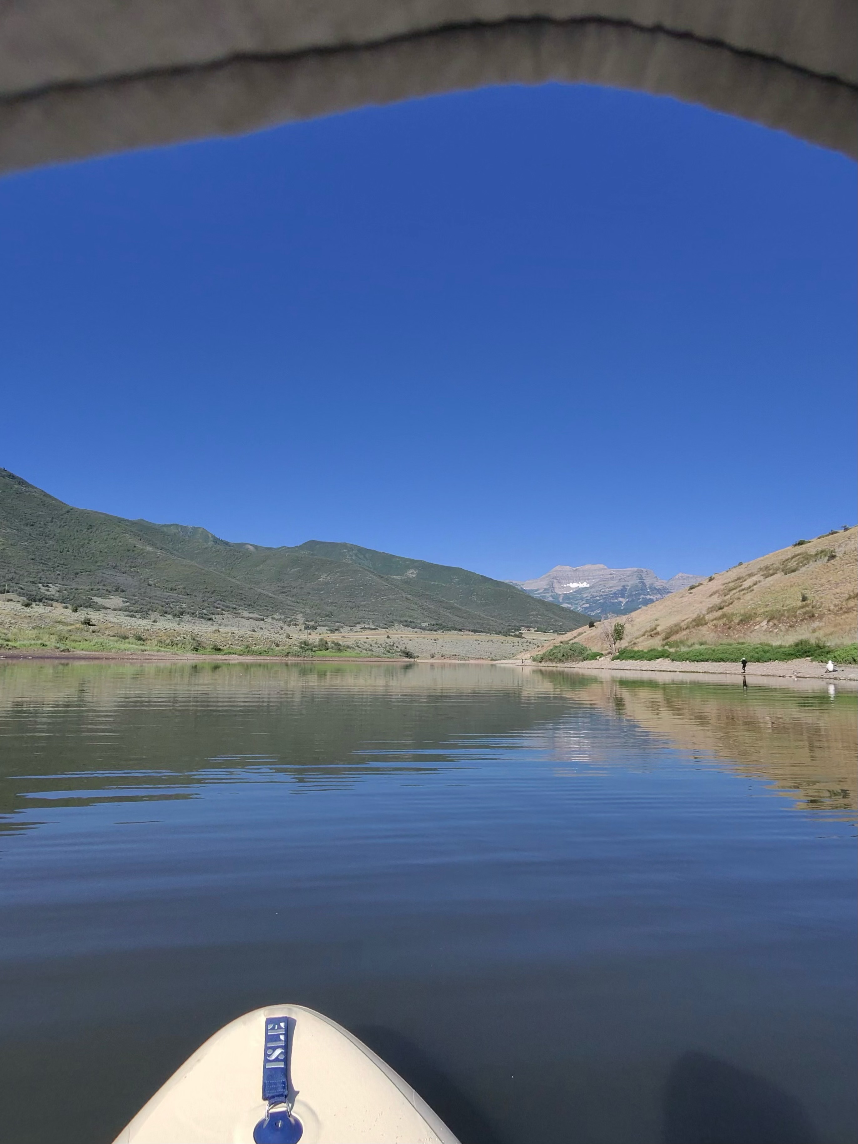
Deer Creek Reservoir
Explore Utah waters
Top paddling waters
Popular Cities
Loading popular cities...
Explore near Rush Lake

Smarter Paddling Starts in the App.
Paddleways gives you everything you need to plan smarter, paddle better, and own every trip from first launch to takeout.