Silver Lake Flat Reservoir
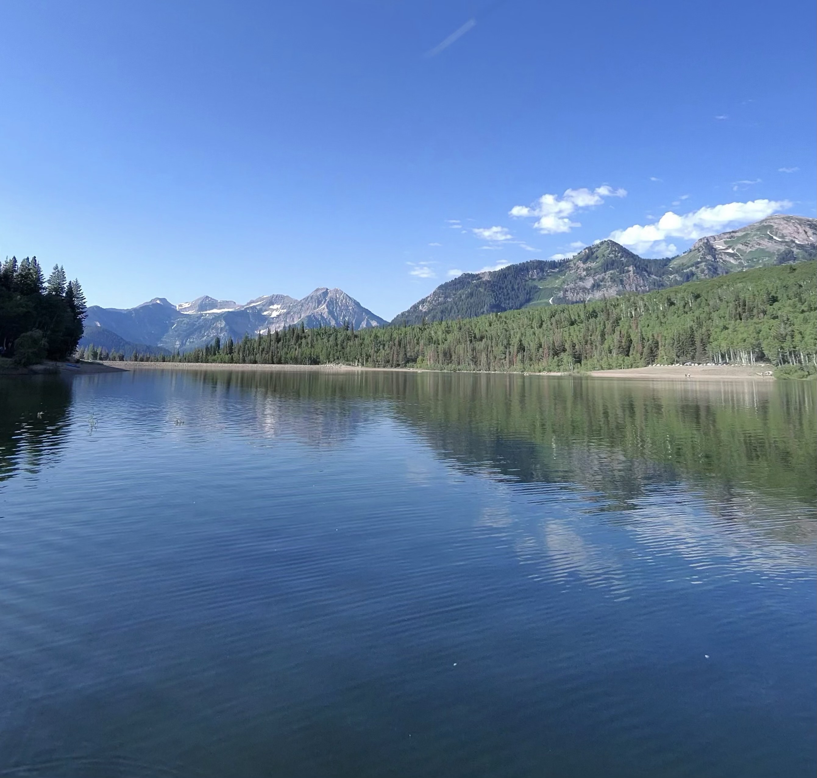
Silver Lake Flat Reservoir
- Boat Ramps
- 0
- Access Points
- 0
- Campsites
- 16
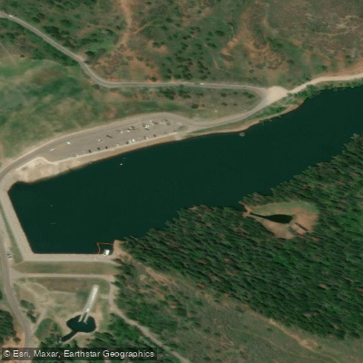
Silver Lake Flat Reservoir is located in American Fork Canyon at 7,500 feet elevation, accessible via a 3. 5-mile dirt road past Tibble Fork Reservoir.
The road climbs 1,100 feet and requires high-clearance or 4WD vehicles, though it can be navigated by regular cars with care. Parking is available in designated areas near the east side of the lake.
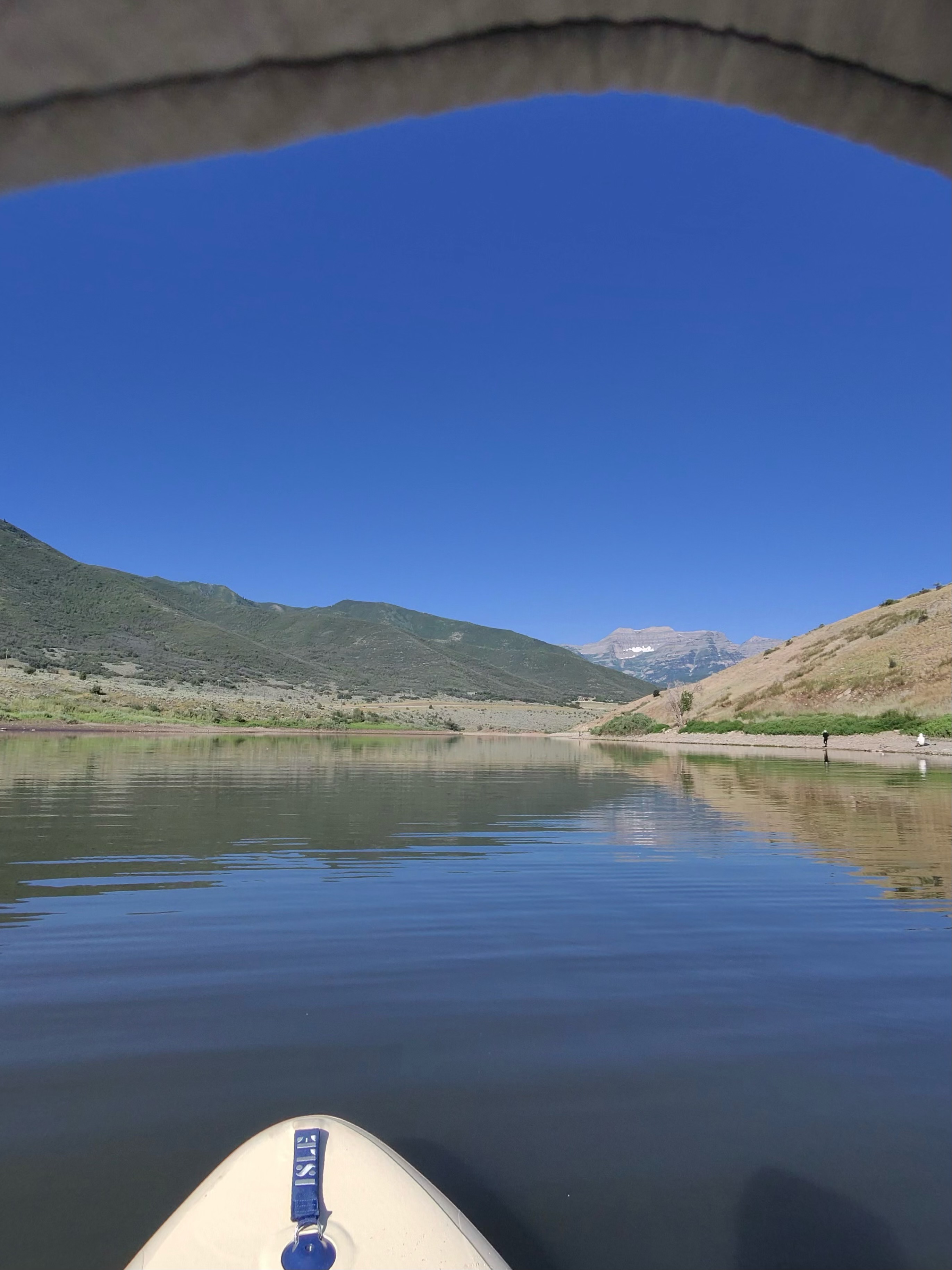
This mountain reservoir prohibits motorized boats, creating calm conditions ideal for kayaking, paddleboarding, and canoeing. The water is particularly suitable for beginners due to its gentle nature.
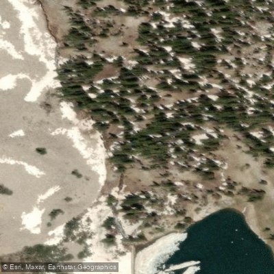
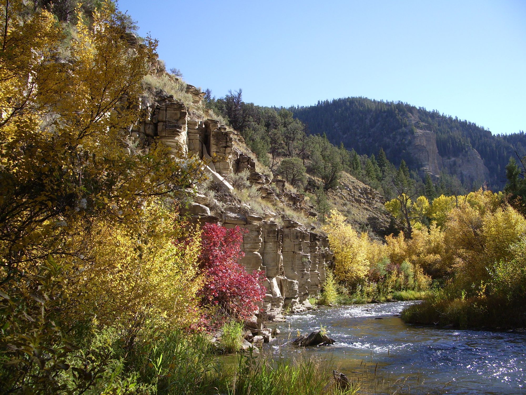
The reservoir offers scenic mountain views, with aspens lining one side and pine trees on the other, plus views of Mount Timpanogos from certain vantage points.
Access points include a main parking area and beach on the east side, with additional access possible by driving around to the west side (requiring a shallow stream crossing).
The reservoir varies in size throughout the season, as it's drained during summer months to supply water to lower elevations. Water levels are typically highest in late May and June, with significant reduction by late July.
The lake is stocked with rainbow trout, brook trout, and cutthroat trout, making it popular for fishing from both shore and watercraft. Wildlife includes various bird species, with bald eagles occasionally spotted in the area.
Facilities include restrooms, picnic tables, and several parking areas. A day-use fee of $10 per vehicle for three days is required, with passes available online or payable by cash/check. Dogs must be leashed in developed areas.
Camping is permitted but prohibited within a quarter-mile of the reservoir. Granite Flat Campground provides developed camping nearby.
The high elevation means cooler temperatures, especially during morning and evening hours, requiring appropriate preparation even in summer months.
The area serves as a trailhead for hiking to Silver Lake and Silver Glance Lake, with a loop trail available around the reservoir itself.
Water access, boat ramps & amenities
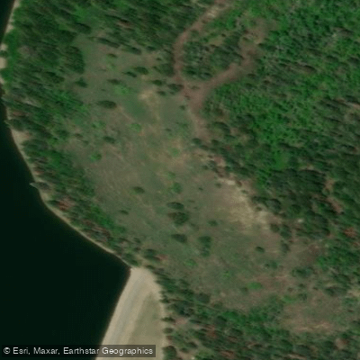
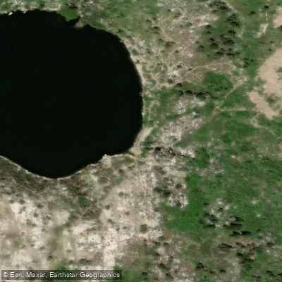
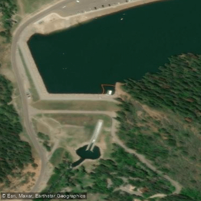
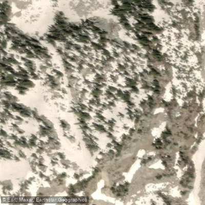
Learn how to get on Silver Lake Flat Reservoir. Uncover great paddling access points, boat ramps, and all the facilities you need for an unforgettable day on the water. Some locations shown may border or include private property. Always check property boundaries and applicable regulations before visiting. PaddleWays's Public & Private Land layer can help you plan your access with confidence.
Paddle smarter with real-time insights
Whether you're en route and conditions shift or you're looking for the best spot based on current flows, we enable you to make informed decisions on the fly.








Find Places to Paddle

Over 400,000 Places to Paddle
Every user gets free access to launch points, boat ramps, and public property parcels.


Water and weather conditions (10 day forecast)
See the best times to paddle Silver Lake Flat Reservoir and check the forecast before you go.
No forecast data available.
Paddling near Silver Lake Flat Reservoir
Explore Utah waters
Top paddling waters
Popular Cities
Loading popular cities...
Explore near Silver Lake Flat Reservoir
Access points
- Granite Flat Campground
- Dh - Deer Hollow Campground
- Little Mill Campground
- Pmp - Poochermonkey Pass Campground
- Mc - Moose Crosing Campground
- Fg - Forest Glade Campground
- Bh - Boogieman Hollow Campground
- Pg - Porcupine Gulch Campground
- Pc - Packers Cove Campground
- Pp - Pantywaist Pocket Campground
- Cc - Cow Campground
- En - Eagles Nest Campground
- All 16 spots
Nearby waters
More in Utah

Smarter Paddling Starts in the App.
Paddleways gives you everything you need to plan smarter, paddle better, and own every trip from first launch to takeout.