Tibble Fork Reservoir
Tibble Fork Reservoir
- Boat Ramps
- 0
- Access Points
- 1
- Campsites
- 16
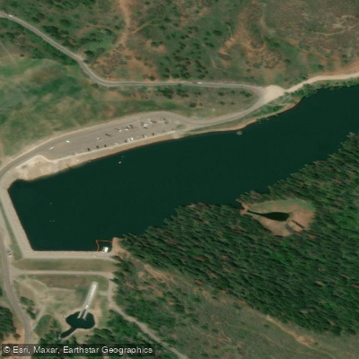
Tibble Fork Reservoir is a 22-acre freshwater mountain lake located in American Fork Canyon, approximately 13 miles east of American Fork, Utah.
The reservoir sits on National Forest land at elevation, surrounded by pines and mountain views with Mount Timpanogos prominently framed by the canyon. **Access and Launch**: The reservoir features a large parking area with easy access to the water.
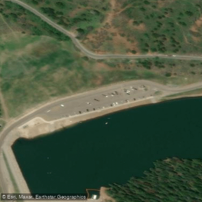
There is typically a pier available for launching, though it may not be installed every year. The beach area is primarily dirt with some sand near the dam area.
When water levels are high, the slope to the water is manageable, but becomes steeper as water levels drop. Kayak launches at the pier help stabilize watercraft for entry. **Regulations**: Motorized boats are not permitted on the reservoir.
Access requires a $10 day pass per vehicle or National Parks Pass. A Uinta-Wasatch-Cache National Forest Pass can be purchased online.
Paddlers should be aware that quagga mussel training certification and life jackets may be required, with enforcement reported at the location.
**Water Quality and Safety**: A 2023 health consultation concluded that recreational contact with sediment from swimming, paddleboarding, or kayaking poses no health risk, though visitors should rinse off afterward.
The reservoir has a history of heavy metal contamination in sediments from historic mining activities upstream, including the Yankee and Globe mines, though contamination levels are below health concern thresholds.
**Character**: The small reservoir offers calm waters ideal for family paddling. The location can become extremely crowded, particularly on weekends, making early morning or weekday visits preferable.
The reservoir provides excellent mountain scenery and is popular for fishing, with anglers frequently present along the shorelines. **Wildlife**: Common wildlife includes ducks, with occasional osprey and hawks.
Uintah ground squirrels emerge from holes along the hillside. **Season**: Best accessed May through October, with winter access available for specialized activities but requiring different preparations.
Water access, boat ramps & amenities
Learn how to get on Tibble Fork Reservoir. Uncover great paddling access points, boat ramps, and all the facilities you need for an unforgettable day on the water. Some locations shown may border or include private property. Always check property boundaries and applicable regulations before visiting. PaddleWays's Public & Private Land layer can help you plan your access with confidence.
Paddle smarter with real-time insights
Whether you're en route and conditions shift or you're looking for the best spot based on current flows, we enable you to make informed decisions on the fly.








Find Places to Paddle

Over 400,000 Places to Paddle
Every user gets free access to launch points, boat ramps, and public property parcels.


Water and weather conditions (10 day forecast)
See the best times to paddle Tibble Fork Reservoir and check the forecast before you go.
No forecast data available.
Paddling near Tibble Fork Reservoir
Utah Lake
Provo River
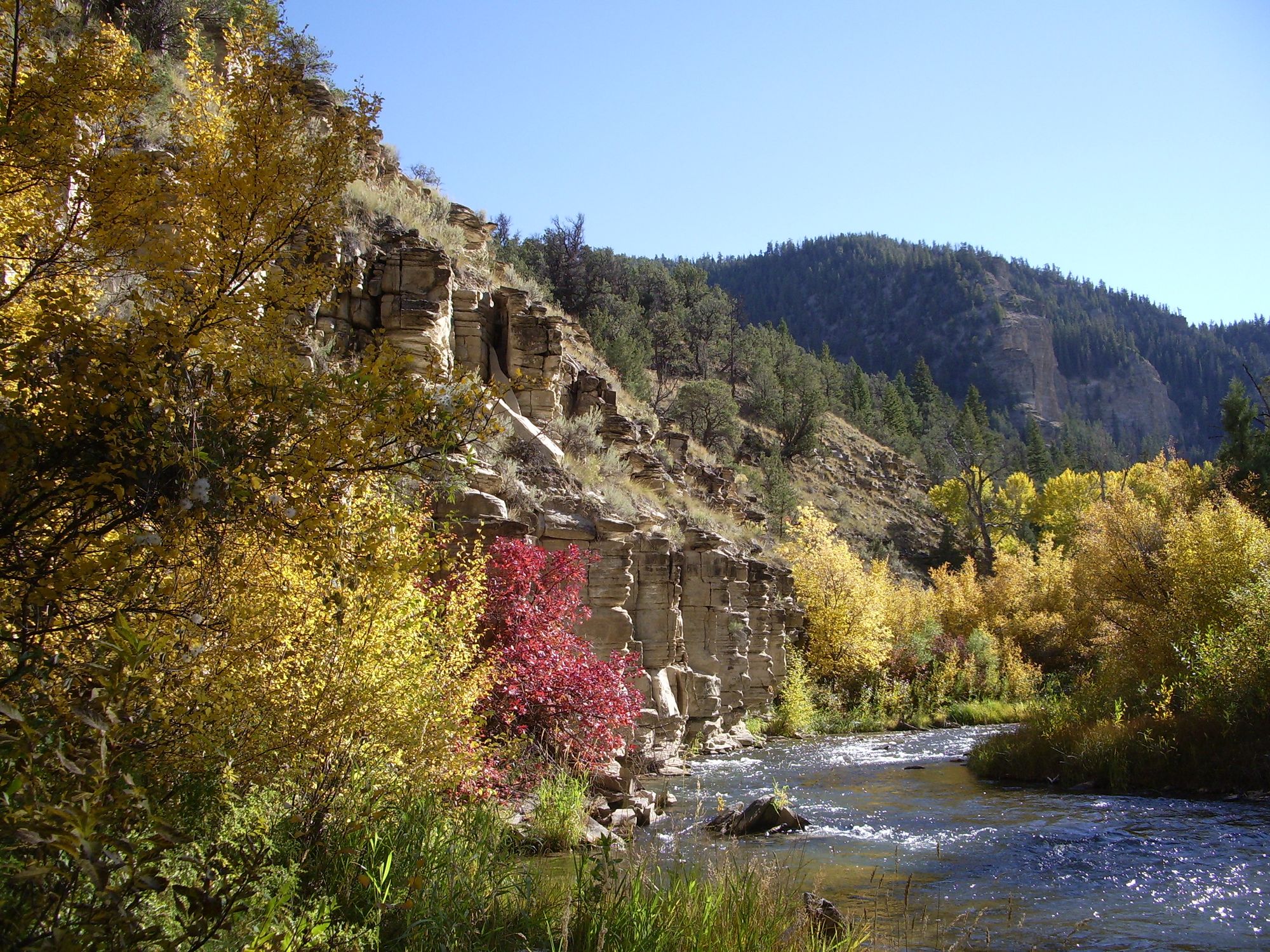
Strawberry River
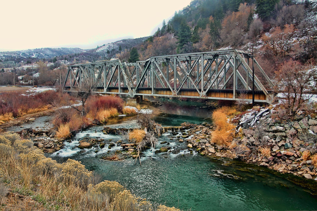
Weber River
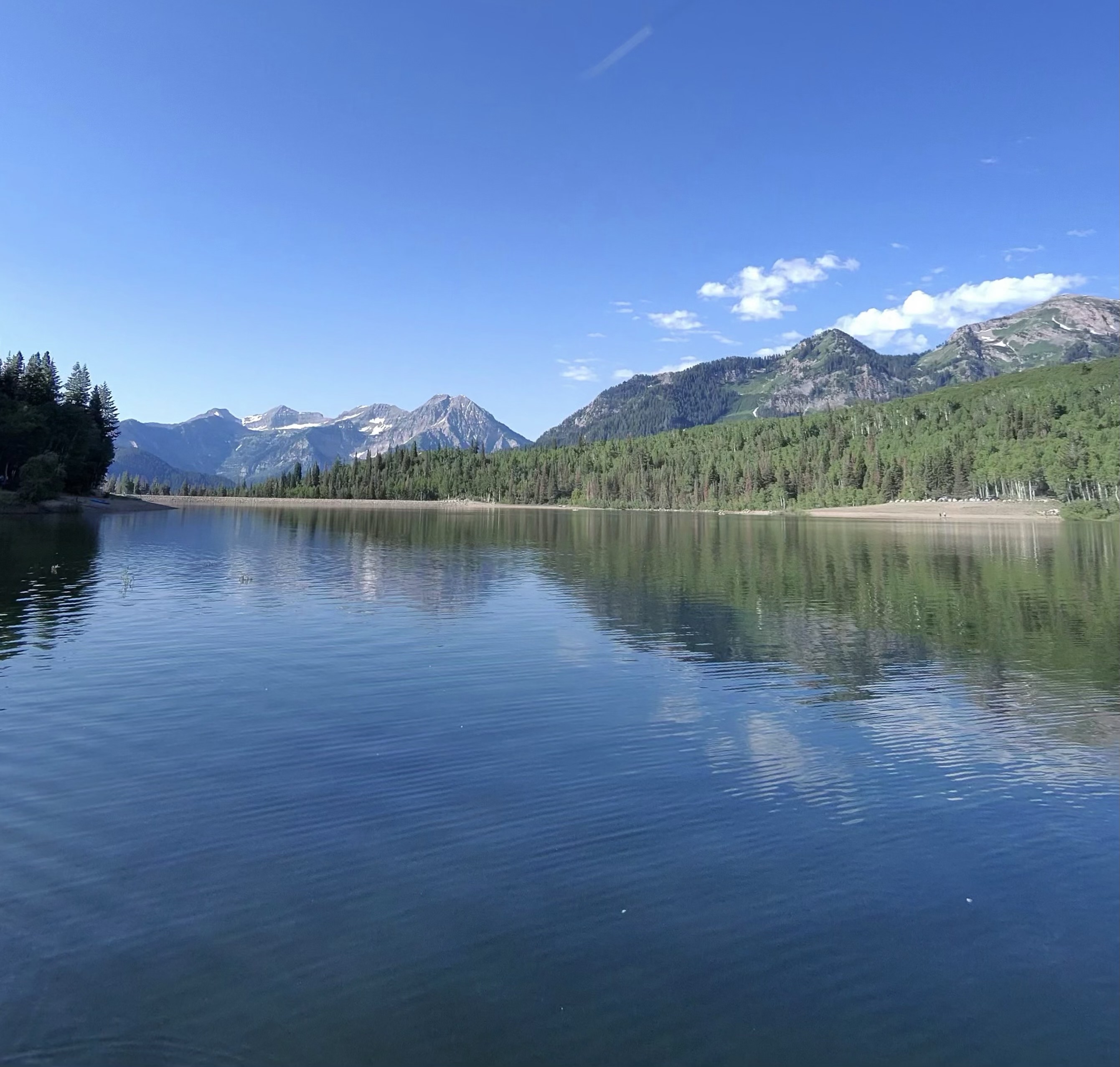
Silver Lake Flat Reservoir
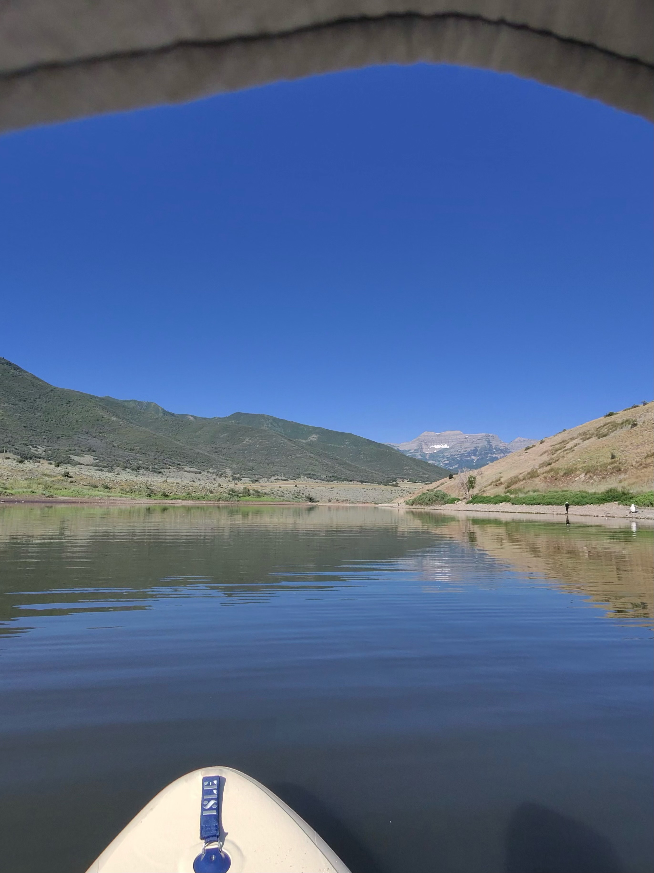
Deer Creek Reservoir
Jordan River
American Fork
Great Salt Lake
Explore Utah waters
Top paddling waters
Popular Cities
Loading popular cities...
Explore near Tibble Fork Reservoir
Access points
- Tibble Fork Reservoir Access
- Granite Flat Campground
- Dh - Deer Hollow Campground
- Pmp - Poochermonkey Pass Campground
- Bh - Boogieman Hollow Campground
- Fg - Forest Glade Campground
- Mc - Moose Crosing Campground
- Pp - Pantywaist Pocket Campground
- Pc - Packers Cove Campground
- Cc - Cow Campground
- Pg - Porcupine Gulch Campground
- En - Eagles Nest Campground
- All 17 spots
Nearby waters
More in Utah

Smarter Paddling Starts in the App.
Paddleways gives you everything you need to plan smarter, paddle better, and own every trip from first launch to takeout.