Deer Creek Reservoir
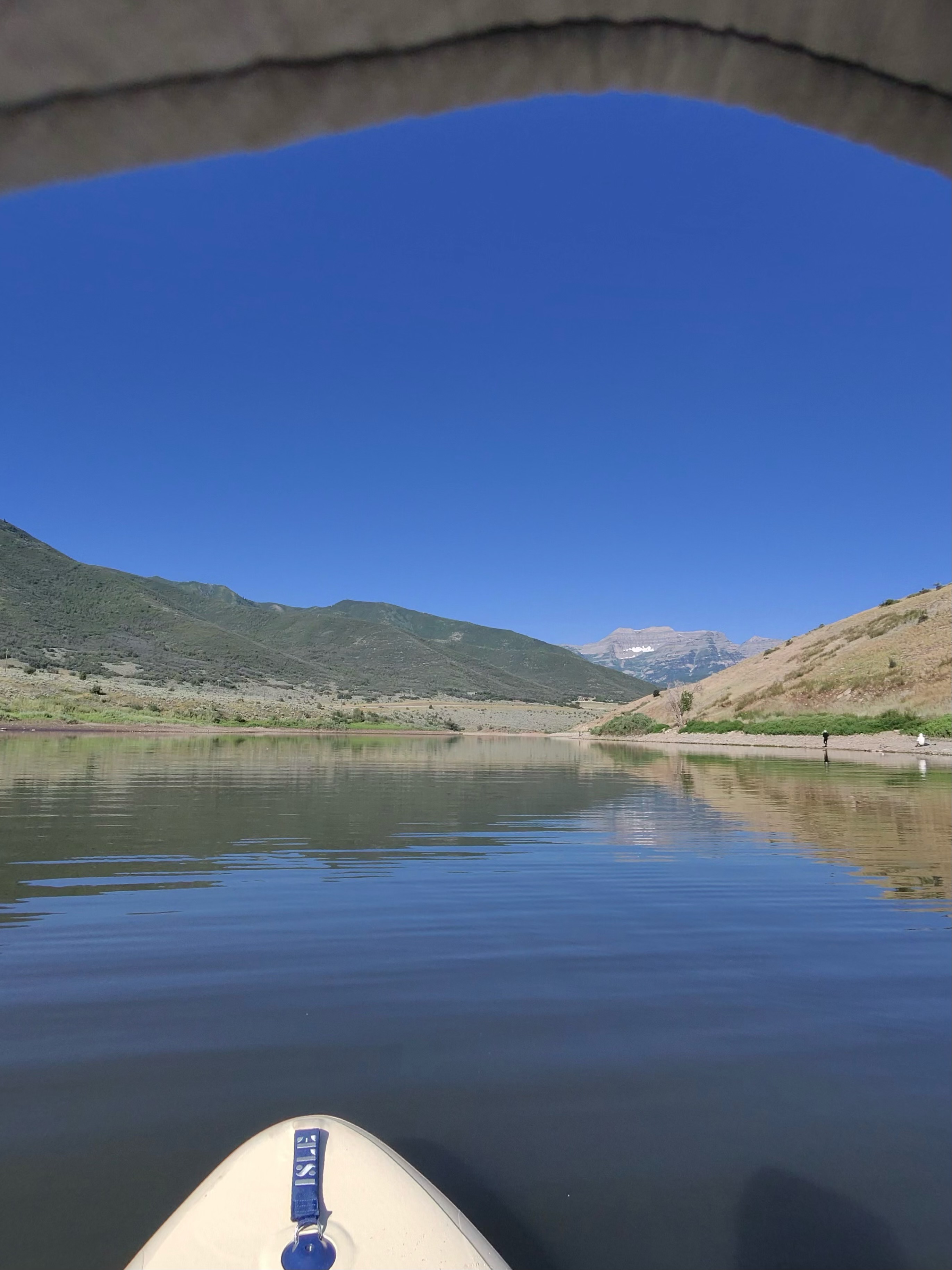
Deer Creek Reservoir
- Boat Ramps
- 3
- Access Points
- 3
- Campsites
- 5
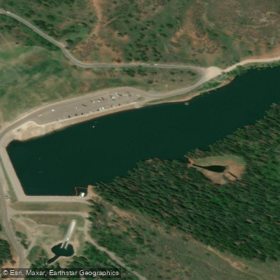
Deer Creek Reservoir in Utah offers a diverse paddling experience with nearly 3,000 surface acres of water surrounded by scenic mountain views. The reservoir features several access points, including Rainbow Bay Day Use Area on the western shore and Island Beach Day Use Area. Rainbow Bay is ideal for paddlers seeking a less congested launch site without motorized boat traffic. The reservoir's large, flat expanse of water is often calm, making it suitable for paddlers of all skill levels.
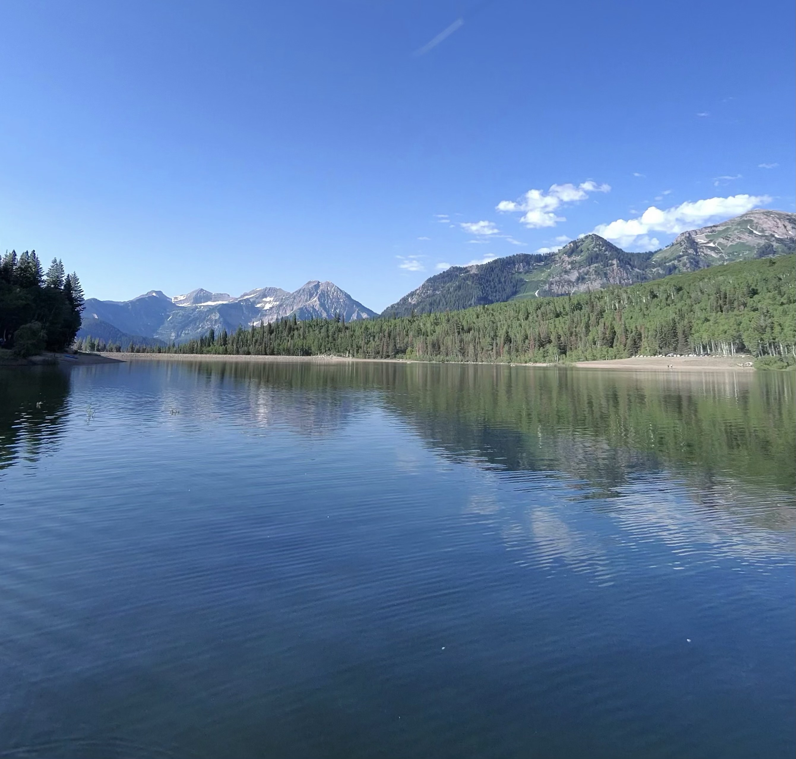
Paddlers can enjoy stunning vistas of Mount Timpanogos reflected in the water, especially during early morning or evening hours when the light is most dramatic. The reservoir is known for reliable winds, which can create challenging conditions for inexperienced paddlers in the afternoon. Water sports enthusiasts should be aware of motorized boat traffic, particularly during peak summer months.
Facilities at Deer Creek include picnic areas, restrooms, and beaches. Island Beach Day Use Area offers covered picnic cabanas, including a group area for large gatherings. The rocky shoreline at some beaches may be less comfortable for lounging but doesn't impede paddling access.
Deer Creek Reservoir is a popular spot for stand-up paddleboard yoga due to its typically calm waters. The area around the reservoir is home to wildlife, adding interest for nature enthusiasts. Paddlers should be prepared for potentially cool water temperatures, even in summer months, due to the reservoir's mountain location.
Access to Deer Creek State Park, which encompasses the reservoir, is available year-round from 6 a.m. to 10 p.m. in summer and 8 a.m. to 5 p.m. in winter. Paddlers should always wear a life jacket and check weather conditions before venturing out, as winds can change quickly in this mountain environment.
Water access, boat ramps & amenities
Learn how to get on Deer Creek Reservoir. Uncover great paddling access points, boat ramps, and all the facilities you need for an unforgettable day on the water. Some locations shown may border or include private property. Always check property boundaries and applicable regulations before visiting. PaddleWays's Public & Private Land layer can help you plan your access with confidence.
Paddle smarter with real-time insights
Whether you're en route and conditions shift or you're looking for the best spot based on current flows, we enable you to make informed decisions on the fly.








Find Places to Paddle

Over 400,000 Places to Paddle
Every user gets free access to launch points, boat ramps, and public property parcels.


Water and weather conditions (10 day forecast)
See the best times to paddle Deer Creek Reservoir and check the forecast before you go.
DANIELS CREEK AT CHARLESTON, UT
All Flow Stations
Paddling near Deer Creek Reservoir
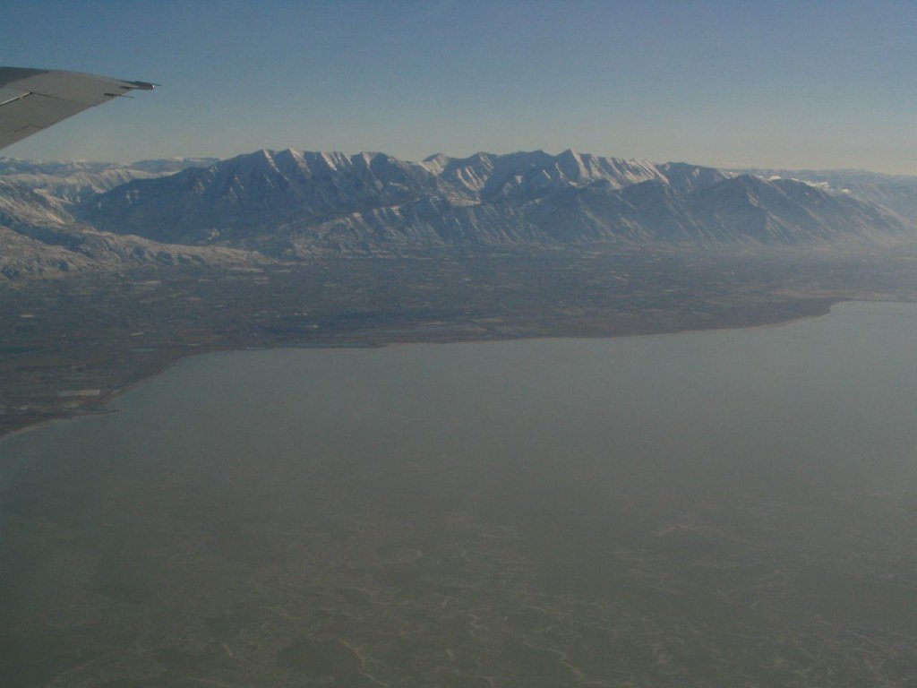
Explore Utah waters
Top paddling waters
Popular Cities
Loading popular cities...
Explore near Deer Creek Reservoir
Access points
Nearby waters
More in Utah

Smarter Paddling Starts in the App.
Paddleways gives you everything you need to plan smarter, paddle better, and own every trip from first launch to takeout.