Strawberry River
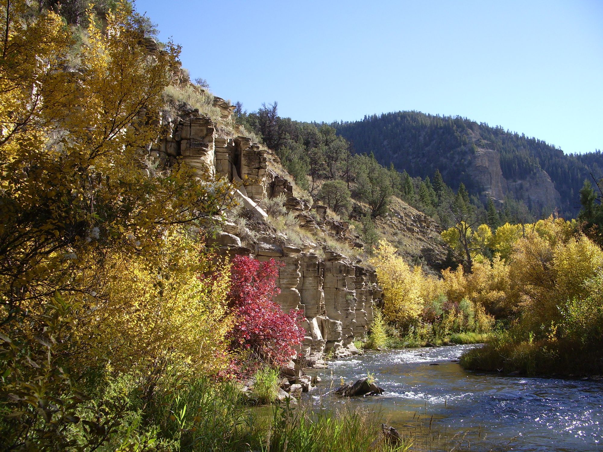
Strawberry River
- Boat Ramps
- 0
- Access Points
- 28
- Campsites
- 1
The Strawberry River is a scenic waterway in northeastern Utah, originating in the Uinta National Forest of the Wasatch Mountains. It flows generally southeast for approximately 50 miles before emptying into Starvation Reservoir just west of Duchesne. The river's course is significantly altered by two major dams - Soldier Creek Dam, which forms Strawberry Reservoir, and Starvation Dam downstream.
Paddling opportunities on the Strawberry River are diverse but segmented. The most popular section runs 36 miles from Soldier Creek Dam to Starvation Reservoir, offering a mix of difficulty ranging from Class I to V. This stretch provides excellent whitewater for experienced paddlers, particularly in the upper reaches. The 21-mile Pinnacles section from near Fruitland to Duchesne is a notable subset, suitable for intermediate paddlers. Water levels are heavily regulated by dam releases, making the river's flow somewhat unpredictable. Late spring and early summer typically offer the best conditions for whitewater enthusiasts, while late summer and fall can provide calmer waters for fishing and scenic floats. Paddlers should always check current flow rates and dam release schedules before planning their trip.
The river corridor supports a diverse ecosystem, with cottonwood and willow trees lining the banks. Wildlife sightings may include mule deer, elk, and various bird species. The area is also known for its excellent trout fishing, particularly in the tailwaters below Soldier Creek Dam.
Key access points include the put-in at Soldier Creek Dam and various take-outs near Duchesne. The nearby towns of Heber City and Duchesne offer services for paddlers. It's important to note that portions of the river pass through Ute Reservation land, requiring special permits for fishing and potentially affecting access.
Safety considerations are paramount, especially on the more challenging upper sections. Paddlers should be aware of rapidly changing water levels due to dam releases and the presence of strainers and other obstacles. The section immediately below Strawberry Reservoir is no longer recommended for paddling due to hazardous conditions and potential conflicts with landowners.
For those seeking a more relaxed experience, Strawberry Reservoir itself offers a 11.4-mile flatwater paddle route, perfect for kayaking and canoeing in a scenic mountain setting.
While multi-day trips are possible on the longer sections, most paddlers opt for single-day runs due to the river's relatively short length and the segmented nature of its navigable portions. The Strawberry River, with its varied paddling options and beautiful scenery, represents a quintessential Utah paddling experience, offering something for both adrenaline seekers and those in search of a peaceful day on the water.
Water access, boat ramps & amenities
Learn how to get on Strawberry River. Uncover great paddling access points, boat ramps, and all the facilities you need for an unforgettable day on the water. Some locations shown may border or include private property. Always check property boundaries and applicable regulations before visiting. PaddleWays's Public & Private Land layer can help you plan your access with confidence.
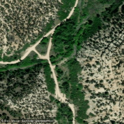
Timber Canyon Road Access
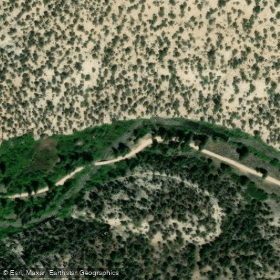
Strawberry River Road Access
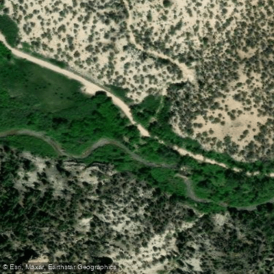
Strawberry River Road Access
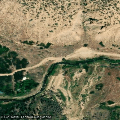
Strawberry River Road Access
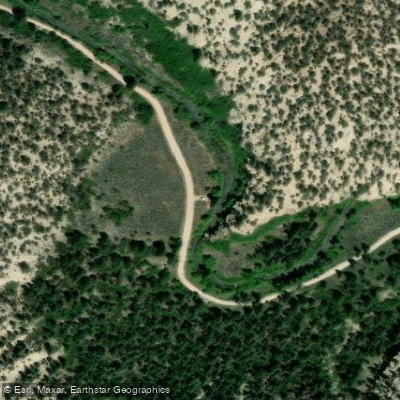
Strawberry River Road Access
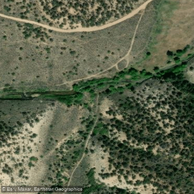
Forest Road 89 / Slab Canyon Access
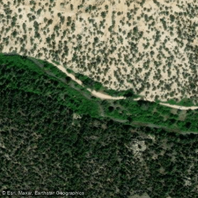
Strawberry River Road Access
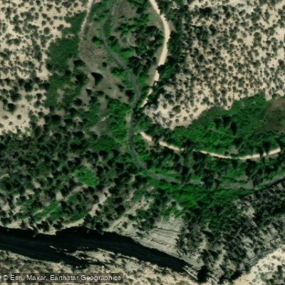
Strawberry River Road Access
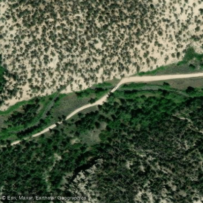
Strawberry River Road Access
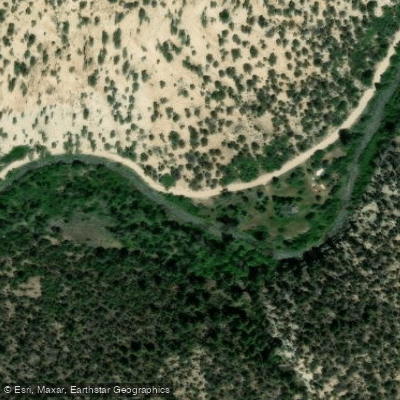
Strawberry River Road Access
Paddle smarter with real-time insights
Whether you're en route and conditions shift or you're looking for the best spot based on current flows, we enable you to make informed decisions on the fly.








Find Places to Paddle

Over 400,000 Places to Paddle
Every user gets free access to launch points, boat ramps, and public property parcels.


Water and weather conditions (10 day forecast)
See the best times to paddle Strawberry River and check the forecast before you go.
STRAWBERRY RIVER AT PINNACLES NEAR FRUITLAND, UT
All Flow Stations
Paddling near Strawberry River
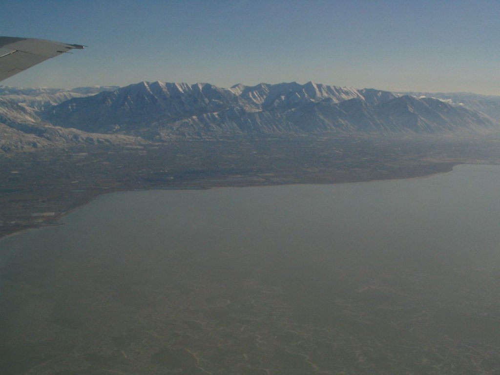
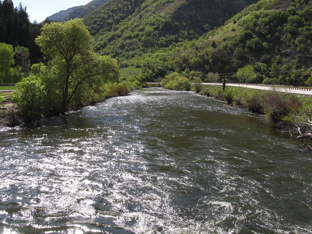
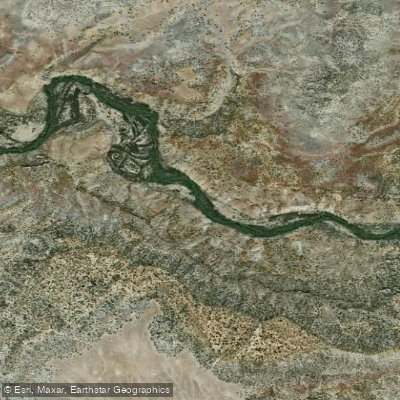
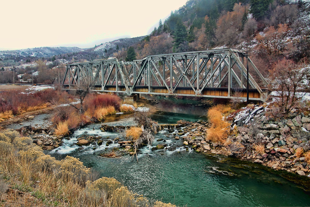
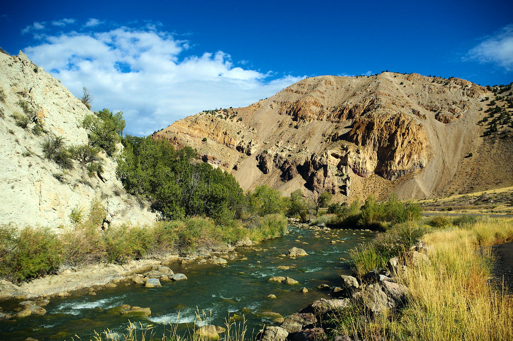
Explore Utah waters
Top paddling waters
Popular Cities
Loading popular cities...
Explore near Strawberry River
Access points
- Timber Canyon Road Access
- Strawberry River Road Access
- Strawberry River Road Access
- Strawberry River Road Access
- Strawberry River Road Access
- Forest Road 89 / Slab Canyon Access
- Strawberry River Road Access
- Strawberry River Road Access
- Strawberry River Road Access
- Strawberry River Road Access
- Strawberry River Road Access
- Strawberry River Road Access
- All 29 spots
Nearby waters
More in Utah

Smarter Paddling Starts in the App.
Paddleways gives you everything you need to plan smarter, paddle better, and own every trip from first launch to takeout.