Curated by PaddleWays
RouteFlatwater
- Distance
- 6.9 mi
- Paddle time
- 3 hrs
- Best for
- Beginners
- Put-in → take-out
- Coventry Access → South Bay Boat Ramp
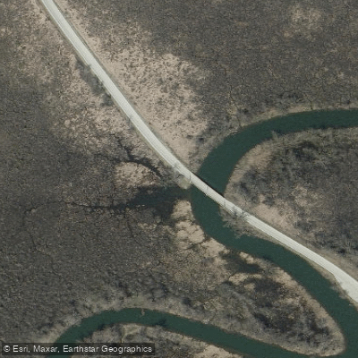
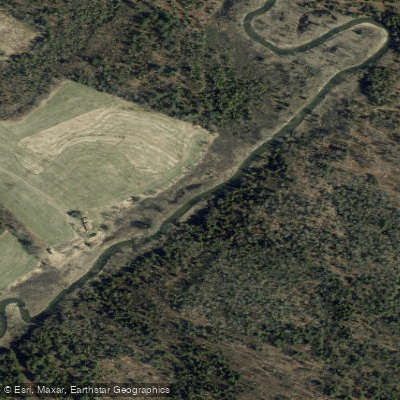
I cannot provide a comprehensive overview of Black River in Orleans County, Vermont, as the search results do not contain sufficient verified information about this specific waterway. The search results mention Black River in Orleans County context only briefly in a reference guide listing towns and a passing mention that it "flows through Orleans County" and empties into Lake Memphremagog. However, the detailed Wikipedia article about "Black River (Lake Memphremagog)" describes a different river system entirely - one that originates in Craftsbury (which is actually in Orleans County) and flows north through Albany, Irasburg, Coventry, and Newport before reaching Lake Memphremagog. The search results also reference a completely separate Black River that is a tributary of the Connecticut River in Windsor County, Vermont, which flows through southeastern Vermont towns like Plymouth, Ludlow, and Springfield - nowhere near Orleans County.
Without clear documentation distinguishing which Black River system flows through Orleans County as a tributary of Lords Creek, and lacking specific information about its characteristics, paddling opportunities, access points, or other features in that county, I cannot provide the detailed overview requested. The geographic information available is contradictory or insufficient to confidently describe this particular waterway's course, features, or recreational opportunities within Orleans County, Vermont. To create an accurate overview, I would need verified sources that specifically identify and describe Black River as it flows through Orleans County as a tributary of Lords Creek, including its origin point, the towns it passes through, its length, notable features, and access points within that county.
Curated routes
Hand-picked by the PaddleWays team, with put-ins, take-outs, paddle times and the hazards along the way.
RouteFlatwater
RouteClass I–II
Hazards
No paddler has reported a hazard here yet, so these are the dams, falls and big rapids on our map. Hazards change with flows and storms, so check them before you launch.
From the community
Nobody has shared a trip on Black River yet. Paddle it, then tell the next paddler how it went.
See exactly where the public can get on and off the river. Launch points and boat ramps are paired with PaddleWays' public land data so you know where you can legally land.
Public shoreline
21%of the river's shoreline is public
Most of the riverbank is private. Launch, land and camp only at public access points.
Flows, weather and a route-by-route verdict, so you know which stretch of the Black River is worth paddling today.
Live flows, marked hazards and fresh trip reports from paddlers who were just on the water, all in one place.





Every user gets free access to launch points, boat ramps, and public property parcels.


Loading popular cities...
PaddleWays gives you everything you need to plan smarter, paddle better, and own every trip from first launch to takeout.