Curated by PaddleWays
RouteFlatwater
- Distance
- 5.3 mi
- Paddle time
- ~2 hrs
- Put-in → take-out
- Route 74 Access → Route 125 Access
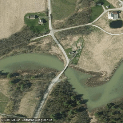
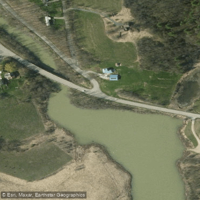
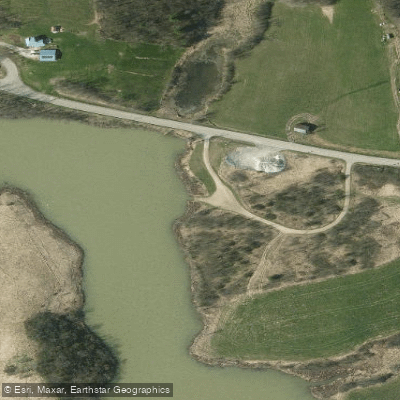
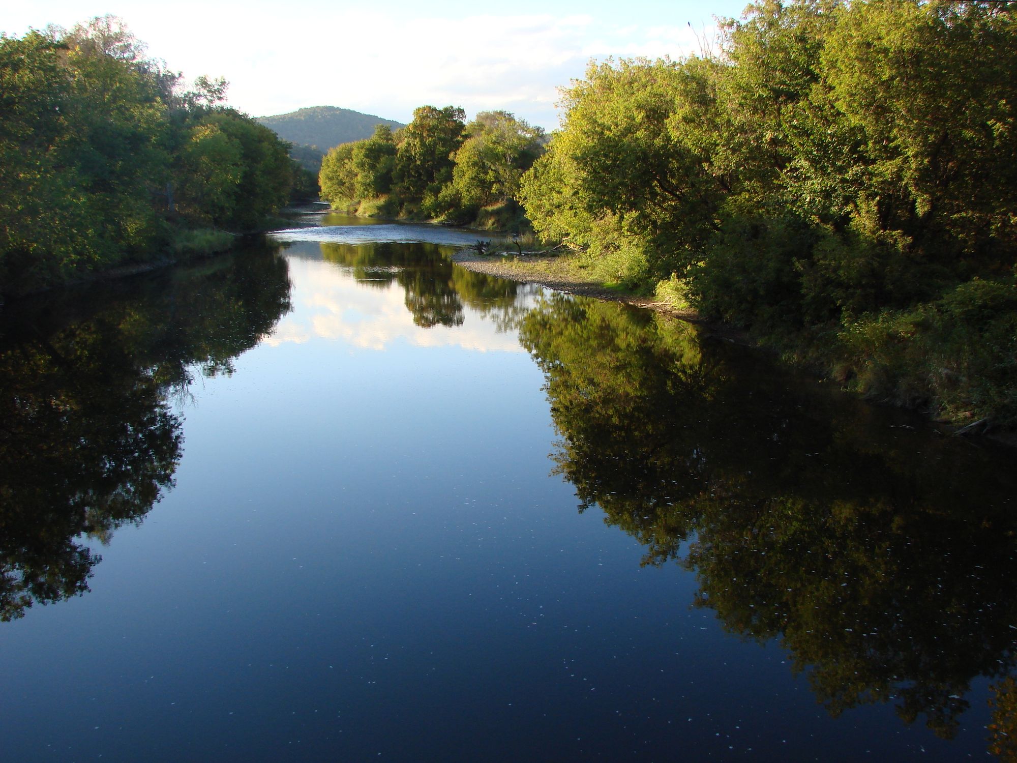
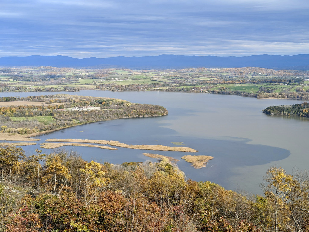
The Lemon Fair River is a scenic waterway located in west-central Vermont. It originates in the fields and farmlands of southern Orwell and flows northward, gaining tributaries as it meanders through the rural landscape. The river eventually drains into Otter Creek, which is part of the Lake Champlain watershed.
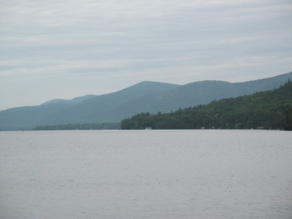
Paddling opportunities on the Lemon Fair River are primarily flatwater, making it ideal for canoeists and kayakers of all skill levels. The river offers a peaceful journey through Vermont's picturesque countryside, with several notable sections for exploration.
One popular paddling route is the Richville Pond section near Shoreham. This 4.5-mile round trip begins at Richville Road and allows paddlers to travel upriver before returning to the starting point. The area is part of the Richville Pond Wildlife Management Area, providing excellent opportunities for wildlife viewing. Paddlers can also see the historic Shoreham Covered Bridge during their journey.
Another noteworthy section begins at the Route 125 bridge and heads northbound. This stretch passes through important natural areas, including woodlands that border the river. In spring, the Lemon Fair often widens during flood stages, creating what locals refer to as Lake Lemon Fair. These remnant woodlands are critically important for wildlife and ecological diversity of the river valley.
The river's ecosystem supports a variety of flora and fauna. Large bur oak trees are a striking feature along some sections, and the area is known as a haven for wildlife. Paddlers may encounter various bird species, including ospreys that nest near the river.
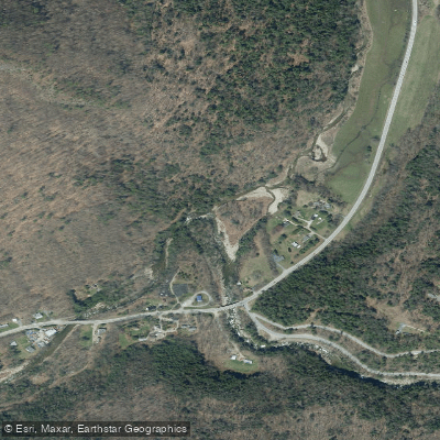
Access points are available at several locations, including Richville Road in Shoreham, Route 74, and Route 125. The towns of Shoreham, Bridport, and Cornwall are in close proximity to various sections of the river.
Seasonal patterns play a significant role in paddling conditions. Spring typically offers higher water levels due to snowmelt and rainfall, while summer and fall provide more stable conditions. Paddlers should be aware that the river can flood extensively in the spring, dramatically altering the landscape.
For those interested in multi-day trips, it's possible to combine sections of the Lemon Fair with paddling on Otter Creek or Lake Champlain for a longer adventure. However, most excursions on the Lemon Fair itself are typically day trips.
Safety considerations include being prepared for changing weather conditions and water levels. As with all paddling trips, wearing a personal flotation device is essential. Paddlers should also be respectful of private property along the riverbanks and follow Leave No Trace principles to preserve the natural beauty of this Vermont waterway.
Curated routes
Hand-picked by the PaddleWays team, with put-ins, take-outs, paddle times and the hazards along the way.
RouteFlatwater
Hazards
No paddler has reported a hazard here yet, so these are the dams, falls and big rapids on our map. Hazards change with flows and storms, so check them before you launch.
From the community
Nobody has shared a trip on Lemon Fair River yet. Paddle it, then tell the next paddler how it went.
See exactly where the public can get on and off the river. Launch points and boat ramps are paired with PaddleWays' public land data so you know where you can legally land.
Public shoreline
26%of the river's shoreline is public
Most of the riverbank is private. Launch, land and camp only at public access points.
Flows, weather and a route-by-route verdict, so you know which stretch of the Lemon Fair River is worth paddling today.
Live flows, marked hazards and fresh trip reports from paddlers who were just on the water, all in one place.





Every user gets free access to launch points, boat ramps, and public property parcels.


Loading popular cities...
PaddleWays gives you everything you need to plan smarter, paddle better, and own every trip from first launch to takeout.