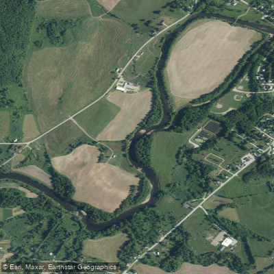
Curated by PaddleWays
RouteFlatwater
- Distance
- 6.3 mi
- Paddle time
- ~2 hrs
- Best for
- Beginners, families
- Put-in → take-out
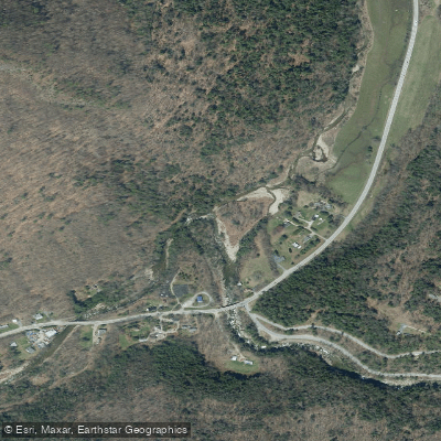
- Davis Park Access → East Berkshire Access
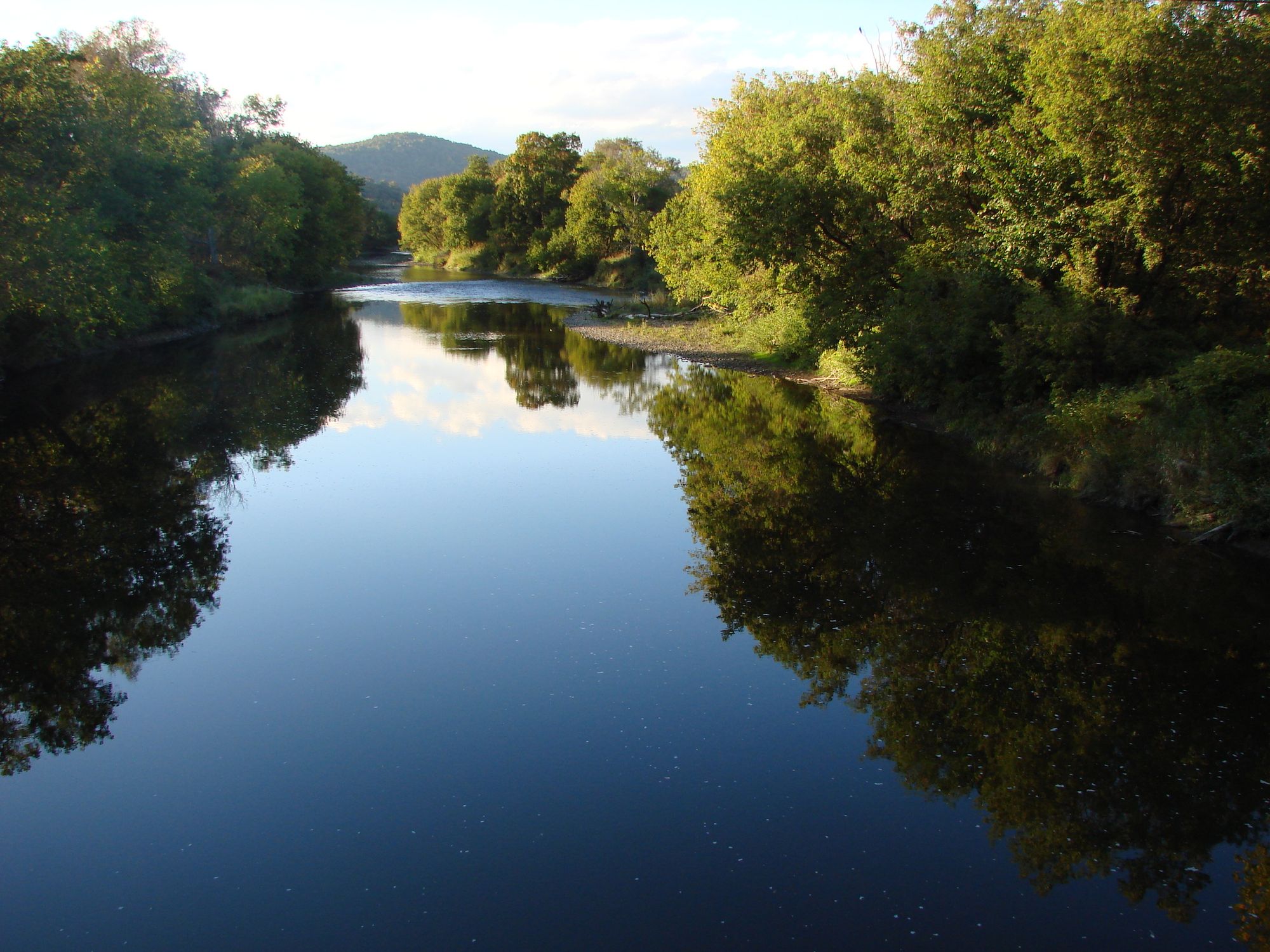
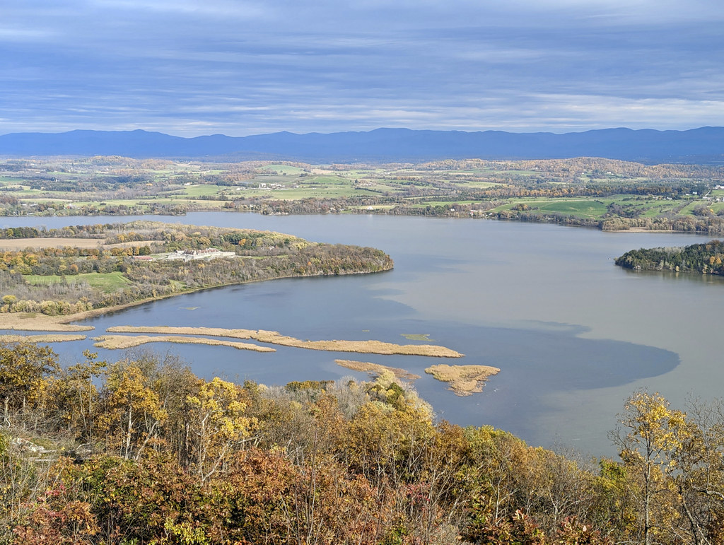
The Missisquoi River is a scenic waterway that flows through northern Vermont, offering paddlers a diverse range of experiences from tranquil flatwater to exciting whitewater. Originating near the Canadian border, the river meanders southwest for approximately 80 miles before emptying into Lake Champlain's Missisquoi Bay. A 46.1-mile stretch of the Upper Missisquoi is designated as a National Wild and Scenic River, showcasing some of Vermont's most picturesque farmland and stunning views of the Green Mountains.
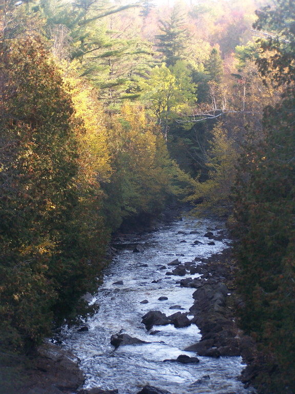
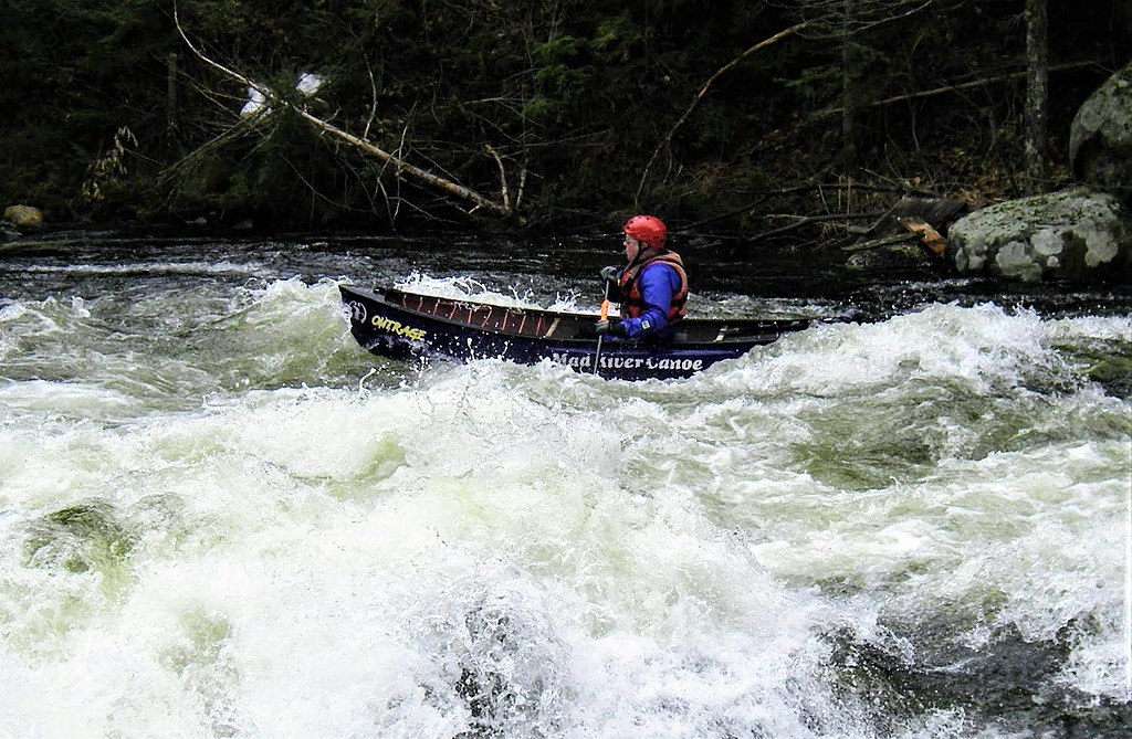
Paddling opportunities on the Missisquoi cater to a wide range of skill levels. The upper sections near Richford offer peaceful flatwater paddling suitable for beginners and families, with the popular 6.5-mile stretch from Richford to East Berkshire being a particular highlight. As the river progresses, it presents more challenging sections, including Class II-III rapids near Sheldon Springs and a thrilling Class III-IV segment from River Road to Big Falls State Park.
The river's difficulty ranges from flatwater to Class IV, making it suitable for novice paddlers in certain sections while offering excitement for more experienced whitewater enthusiasts in others. The Sheldon Springs rapids are known for providing some of the biggest water in Vermont, often maintaining reliable flows when other rivers have dropped out. Spring and early summer typically offer the best paddling conditions due to higher water levels from snowmelt and rainfall. However, the river can be enjoyed throughout summer and fall, with some sections remaining navigable even during drier periods.
The Missisquoi River corridor is rich in wildlife, providing excellent opportunities for nature observation. Paddlers may spot a variety of birds, including bald eagles, as well as otters, deer, and even the occasional bear or moose. The river passes through diverse landscapes, from lush forests to open farmland, offering changing scenery throughout its course.
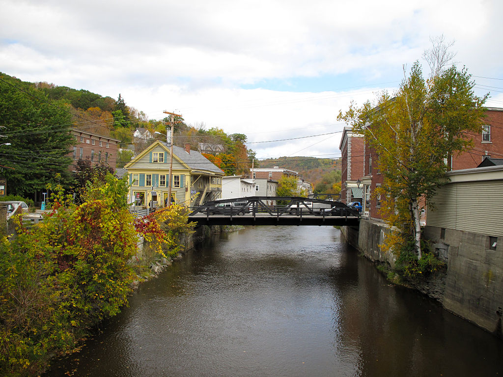
Notable landmarks along the river include Big Falls State Park, featuring an impressive waterfall, and the Missisquoi National Wildlife Refuge near the river's mouth, which offers excellent wildlife viewing opportunities. The river also passes through several charming Vermont towns, including Richford, Enosburg Falls, and Swanton, each providing convenient access points and amenities for paddlers.
Historically, the Missisquoi River played a significant role in the region's development, powering mills and serving as a transportation route. Today, it continues to be an important cultural and recreational resource for local communities. Safety considerations include being aware of water levels, especially in the more challenging whitewater sections. Paddlers should always check current conditions and be prepared for changing weather. Some sections, particularly around dams, require portages, and it's essential to respect private property along the riverbanks.
For those seeking a multi-day adventure, the Northern Forest Canoe Trail incorporates a 74-mile section of the Missisquoi, offering an extended paddling experience from East Richford to Lake Champlain. This trip typically takes about six days and includes a unique "Grand Portage" section where paddlers can bike alongside the river.
The Missisquoi River is not just a paddler's paradise but also a vital part of Vermont's natural heritage. Whether you're seeking a peaceful float through pastoral landscapes or an adrenaline-pumping whitewater run, the Missisquoi offers a paddling experience for everyone, set against the backdrop of Vermont's stunning natural beauty.
Curated routes
Hand-picked by the PaddleWays team, with put-ins, take-outs, paddle times and the hazards along the way.
RouteFlatwater
RouteClass III–IV
RouteClass I–III
RouteClass I–II
Hazards
No paddler has reported a hazard here yet, so these are the dams, falls and big rapids on our map. Hazards change with flows and storms, so check them before you launch.
From the community
Nobody has shared a trip on Missisquoi River yet. Paddle it, then tell the next paddler how it went.
See exactly where the public can get on and off the river. Launch points and boat ramps are paired with PaddleWays' public land data so you know where you can legally land.
Public shoreline
1%of the river's shoreline is public
Most of the riverbank is private. Launch, land and camp only at public access points.
Boat Ramp
Boat Ramp
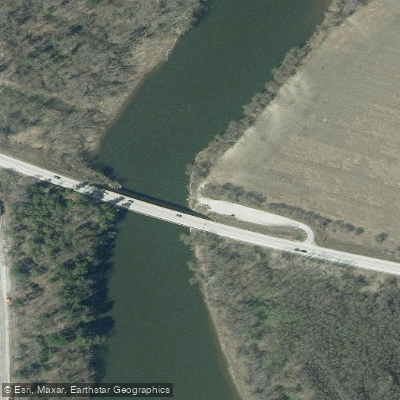
Boat Ramp
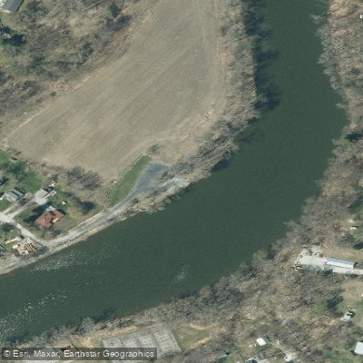
Boat Ramp
Showing 4 of 7 boat ramps.
Flows, weather and a route-by-route verdict, so you know which stretch of the Missisquoi River is worth paddling today.
All Flow Stations
Live flows, marked hazards and fresh trip reports from paddlers who were just on the water, all in one place.





Every user gets free access to launch points, boat ramps, and public property parcels.


Loading popular cities...
PaddleWays gives you everything you need to plan smarter, paddle better, and own every trip from first launch to takeout.





