Curated by PaddleWays
RouteClass II–III
- Distance
- 4.9 mi
- Paddle time
- ~1 hr
- Best for
- Experienced paddlers
- Put-in → take-out
- Mill Coverd Bridge Access → Waterville Access
Waterville Ledges amplify river volume changes
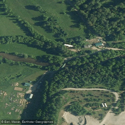
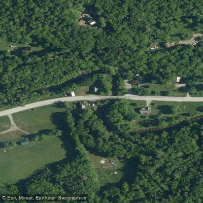
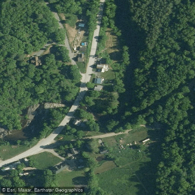
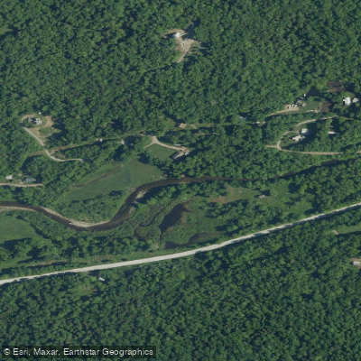
The North Branch Lamoille River is a significant tributary of the Lamoille River in northern Vermont. Originating in the Green Mountains near Belvidere, it flows generally southwest for approximately 30 miles before joining the main stem of the Lamoille River near Morrisville. The river drains a watershed of dense forests and rural communities in Lamoille County.
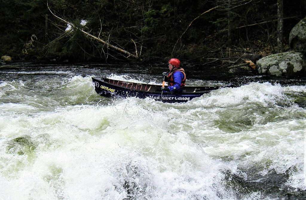
Paddlers will find a range of experiences on the North Branch, from challenging whitewater in the upper reaches to more relaxed flatwater sections downstream. The Upper North Branch above Belvidere offers a remote Class III-IV wilderness run for skilled whitewater kayakers, featuring technical rapids through a forested gorge. Below Belvidere, the river eases to Class II-III as it flows towards Waterville, with the 5-7 mile stretch popular among intermediate paddlers. From Hardwick to Wolcott, a 13-mile section provides scenic Class II-III paddling past historic sites and through rural Vermont countryside.
Paddlers should be aware of potential hazards like the Hardwick Lake Dam, where granite blocks can create dangerous strainers. A notable Class III ledge adds excitement to this otherwise moderate stretch. The lower reaches near the confluence become increasingly gentle. The 5-mile flatwater section from Cadyville Falls to Watermen Brook is ideal for canoeists and beginner kayakers, offering excellent trout fishing opportunities in a tranquil setting.
Spring snowmelt and summer rainstorms provide the best paddling conditions, typically from April through June and again in the fall. The river corridor supports diverse wildlife, including otters, bald eagles, and brook trout.
Key access points include Belvidere, Waterville, Hardwick (at the Hardwick River Access), and Wolcott. The riverside town of Johnson offers amenities for paddlers. Multi-day trips are possible by combining sections, with primitive campsites available along some stretches.
Paddlers should always check current water levels and be prepared for cold water, especially in spring. Local knowledge is essential for safely navigating the more challenging upper sections. The North Branch Lamoille River offers a quintessential Vermont paddling experience, blending exciting whitewater, peaceful floats, and stunning Green Mountain scenery.
Curated routes
Hand-picked by the PaddleWays team, with put-ins, take-outs, paddle times and the hazards along the way.
RouteClass II–III
RouteClass III–V
Hazards
No paddler has reported a hazard here yet, so these are the dams, falls and big rapids on our map. Hazards change with flows and storms, so check them before you launch.
From the community
Nobody has shared a trip on North Branch Lamoille River yet. Paddle it, then tell the next paddler how it went.
See exactly where the public can get on and off the river. Launch points and boat ramps are paired with PaddleWays' public land data so you know where you can legally land.
Public shoreline
17%of the river's shoreline is public
Most of the riverbank is private. Launch, land and camp only at public access points.
Flows, weather and a route-by-route verdict, so you know which stretch of the North Branch Lamoille River is worth paddling today.
No forecast data available.
Live flows, marked hazards and fresh trip reports from paddlers who were just on the water, all in one place.





Every user gets free access to launch points, boat ramps, and public property parcels.


Loading popular cities...
PaddleWays gives you everything you need to plan smarter, paddle better, and own every trip from first launch to takeout.