Curated by PaddleWays
RouteClass II
- Distance
- 20.1 mi
- Paddle time
- ~6.5 hrs
- Best for
- Packraft
- Put-in → take-out
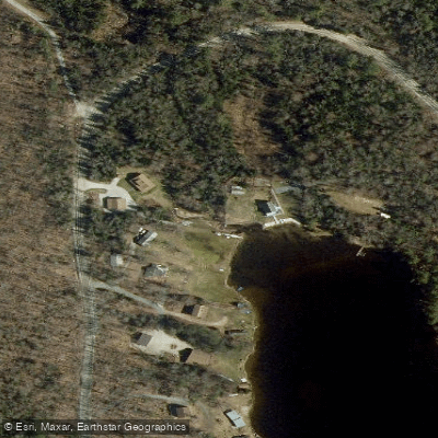
- Big Deer Boat Ramp → Woodsville Field Boat Ramp
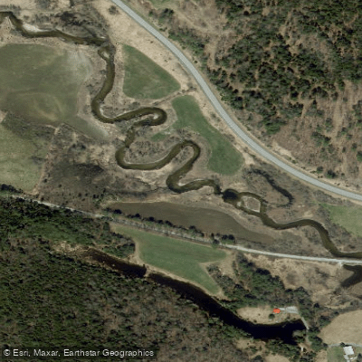
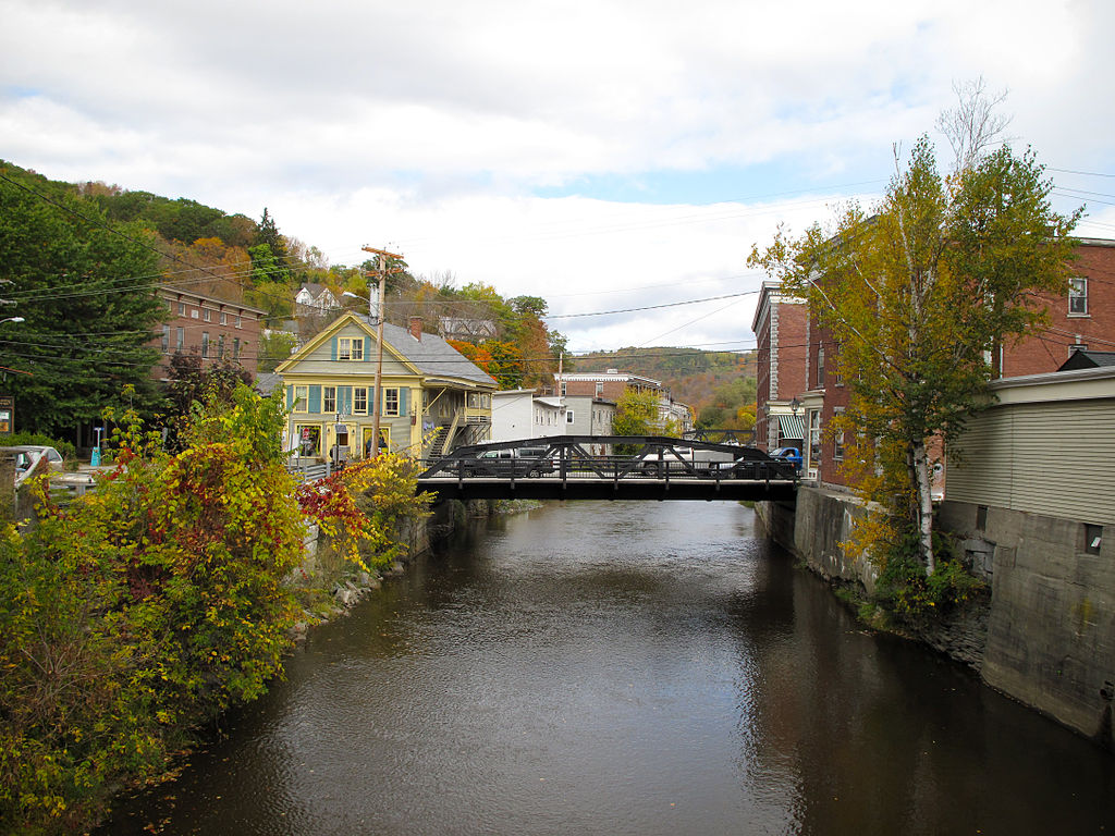
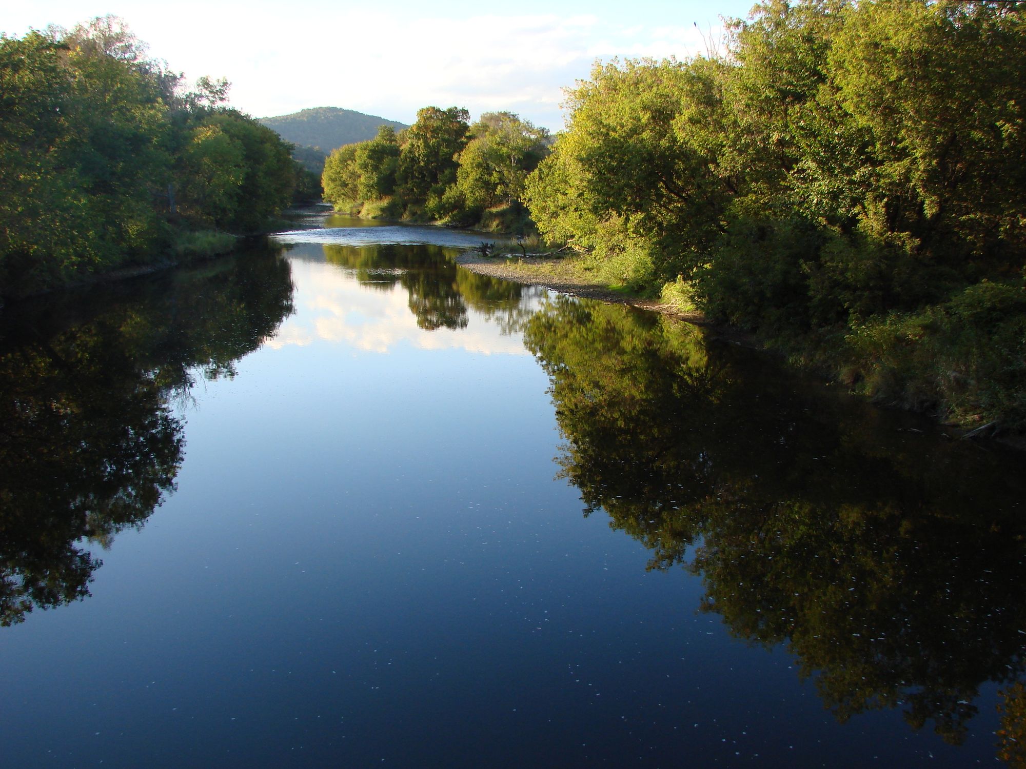
The Wells River is a scenic waterway that flows through eastern Vermont before joining the Connecticut River at the village of Wells River, Vermont. Originating in Groton State Forest, this 23-mile long river travels southeast through Orange County, Vermont, draining a watershed of approximately 100 square miles. Paddlers can enjoy a diverse range of experiences on the Wells River, from placid flatwater sections to more challenging whitewater.
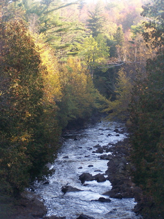
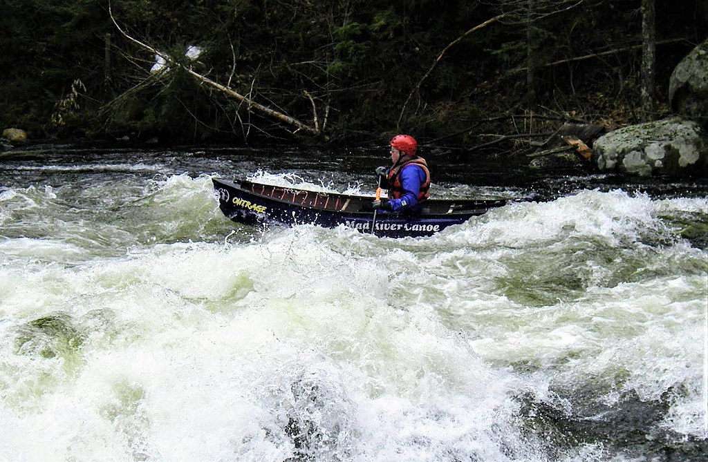
The upper section from Groton to Wells River Village offers a 10.3-mile stretch with Class I-III rapids, making it suitable for intermediate to advanced paddlers. This run features a pool-drop character with most rapids occurring around sharp bends. The lower section from Old Bridge to Lower Dam provides an easier Class II experience over approximately 2 miles. The river's difficulty varies seasonally, with higher water levels in spring during snowmelt and after heavy rains. Late spring through early fall generally offers the most consistent paddling conditions. Water levels can fluctuate quickly, so checking gauges and forecasts is essential.
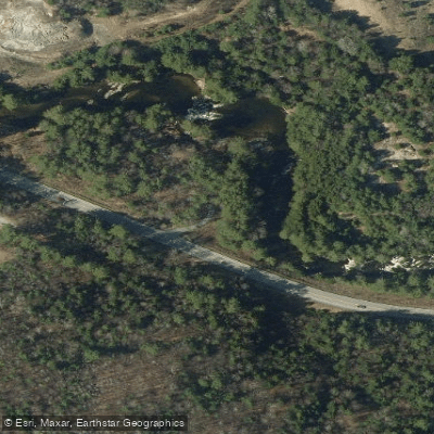
The Wells River passes through the scenic Groton State Forest and Pine Mountain Wildlife Management Area, offering paddlers views of mixed hardwood forests and occasional wildlife sightings of deer, beaver, and various bird species. The river corridor provides important habitat for native brook trout.
Key access points include put-ins at Groton State Forest, Clark's Landing in Groton, and Old Bridge, with take-outs at Wells River Village and the Lower Dam. The nearby town of Wells River serves as a convenient base for river trips.
Historically, the Wells River played a role in logging operations and powering mills in the 19th century. Today, it's valued for recreation and as an ecological resource. The annual Wells River Rumble whitewater kayak race, organized by Dartmouth's Ledyard Canoe Club, takes place on the upper section each spring.
Safety considerations include scouting unfamiliar rapids, especially at higher water levels, and being prepared for remote sections with limited cell service. All paddlers should wear appropriate safety gear and check water levels before their trip.
For those seeking a multi-day adventure, the Wells River can be combined with paddling on the Connecticut River, which it joins at its terminus. This allows for extended trips exploring the broader watershed and riverside communities.
Curated routes
Hand-picked by the PaddleWays team, with put-ins, take-outs, paddle times and the hazards along the way.
RouteClass II
Hazards
No paddler has reported a hazard here yet, so these are the dams, falls and big rapids on our map. Hazards change with flows and storms, so check them before you launch.
From the community
Nobody has shared a trip on Wells River yet. Paddle it, then tell the next paddler how it went.
See exactly where the public can get on and off the river. Launch points and boat ramps are paired with PaddleWays' public land data so you know where you can legally land.
Public shoreline
13%of the river's shoreline is public
Most of the riverbank is private. Launch, land and camp only at public access points.
Flows, weather and a route-by-route verdict, so you know which stretch of the Wells River is worth paddling today.
All Flow Stations
Live flows, marked hazards and fresh trip reports from paddlers who were just on the water, all in one place.





Every user gets free access to launch points, boat ramps, and public property parcels.


Loading popular cities...
PaddleWays gives you everything you need to plan smarter, paddle better, and own every trip from first launch to takeout.