Glade Creek
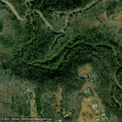
Glade Creek
- Boat Ramps
- 1
- Access Points
- 1
- Campsites
- 7
Glade Creek flows through the heart of New River Gorge National Park and Preserve in Raleigh County, West Virginia, joining the New River near the town of Prince. This tributary system offers a unique combination of whitewater paddling, catch-and-release trout fishing, and backcountry hiking along its approximately 6-mile corridor from the upper trailhead to its confluence with the New River. The creek descends through a narrow, forested valley characterized by rhododendron thickets, hemlock forests, and numerous cascades. Paddlers willing to tackle the technical Class I-III rapids will find swift water flowing over rocky ledges, with Glade Creek Falls being the most prominent feature—a multi-tiered cascade that serves as both a swimming hole and a challenging whitewater run during higher flows. The lower half-mile section near the confluence is designated as catch-and-release trout water, supporting populations of brook, rainbow, and brown trout in the cool, oxygen-rich currents.
Access to Glade Creek requires commitment. The primary entry point is Glade Creek Campground, reached via a 7-mile gravel road (Glade Creek Road) from State Route 41 near Prince. This rough access road demands careful navigation and may require high-clearance vehicles during wet conditions. The campground provides primitive camping facilities, picnic tables, and restrooms, serving as the lower trailhead for the Glade Creek Trail—a former narrow-gauge railroad grade that parallels the creek upstream. The Glade Creek Trail extends approximately 6 miles from the campground to the upper trailhead near Little Beaver State Park, gaining elevation gradually but featuring rocky, narrow sections in the first 3 miles before widening beyond the lone footbridge. Hikers encounter multiple waterfalls, including Kates Falls, located about 4.5 miles upstream via a steep spur trail. The trail passes beneath the highest interstate bridge in the United States (I-64) at approximately the 5-mile mark.
Spring and early summer provide optimal water levels for paddling, while fall offers spectacular foliage along the forested corridor. The creek's flow is highly dependent on recent rainfall, as it lacks dam regulation. Wildlife includes white-tailed deer, black bears, and various salamander species that thrive in the moist microclimate. Paddlers should possess solid whitewater skills, as the creek's gradient creates continuous technical challenges with limited eddies for recovery. The narrow channel and numerous strainers from fallen trees demand constant vigilance. Park regulations prohibit camping within 100 feet of the creek, and visitors should practice Leave No Trace principles in this pristine watershed that represents one of the most ecologically intact tributaries in the New River Gorge system.
Water access, boat ramps & amenities
Learn how to get on Glade Creek. Uncover great paddling access points, boat ramps, and all the facilities you need for an unforgettable day on the water. Some locations shown may border or include private property. Always check property boundaries and applicable regulations before visiting. PaddleWays's Public & Private Land layer can help you plan your access with confidence.
Paddle smarter with real-time insights
Whether you're en route and conditions shift or you're looking for the best spot based on current flows, we enable you to make informed decisions on the fly.








Find Places to Paddle

Over 400,000 Places to Paddle
Every user gets free access to launch points, boat ramps, and public property parcels.


Water and weather conditions (10 day forecast)
See the best times to paddle Glade Creek and check the forecast before you go.
No forecast data available.
Paddling near Glade Creek
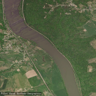
New River
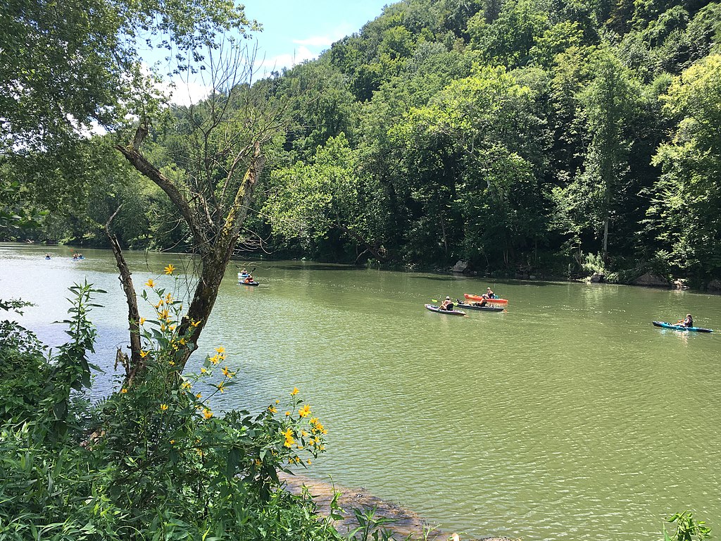
Greenbrier River
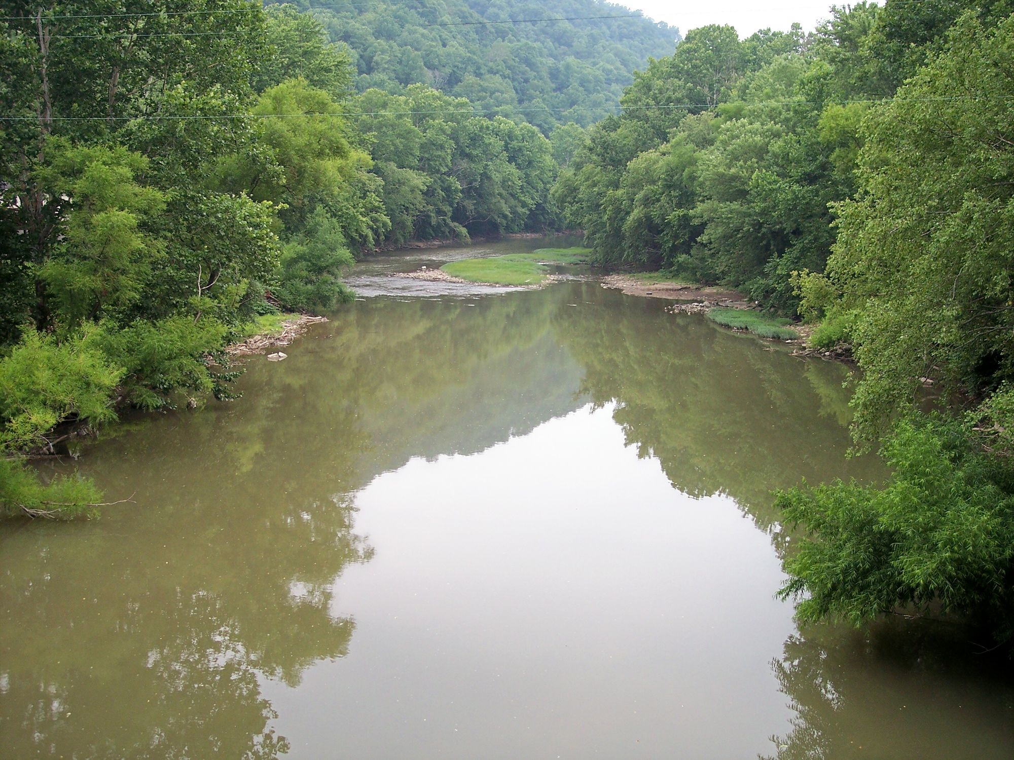
Guyandotte River
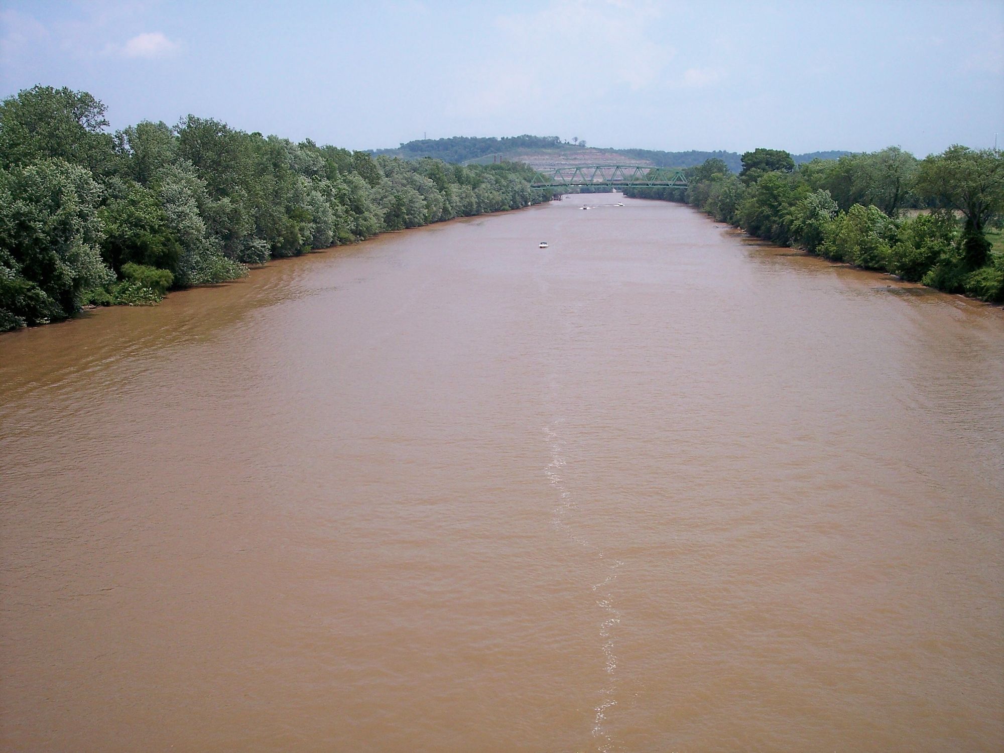
Kanawha River
Gauley River
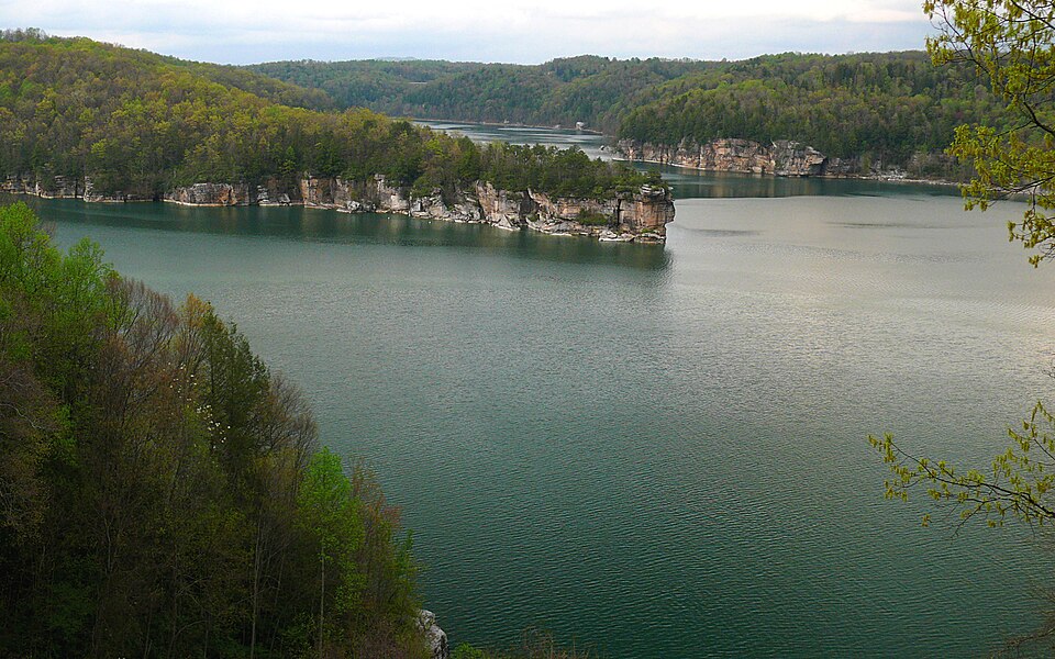
Summersville Lake
Bluestone River
Meadow River
Piney Creek
Explore West Virginia waters
Top paddling waters
Popular Cities
Loading popular cities...
Explore near Glade Creek
Access points
Nearby waters
More in West Virginia

Smarter Paddling Starts in the App.
Paddleways gives you everything you need to plan smarter, paddle better, and own every trip from first launch to takeout.