Wolf Creek
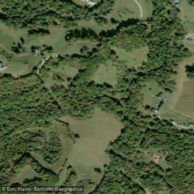
Wolf Creek
- Boat Ramps
- 0
- Access Points
- 0
- Campsites
- 4
Wolf Creek flows through Fayette County, West Virginia, joining the New River near the town of Narrows. This tributary offers expert-level whitewater paddling through a remote and rugged canyon setting, attracting skilled kayakers seeking challenging technical runs in the heart of the New River Gorge region. The creek provides a 2.1-mile section from a reservoir put-in to its confluence with the New River, classified as Class V+ whitewater. This demanding run features continuous technical rapids, significant gradient, and complex hydraulics that require advanced boat control and swift-water rescue skills. The creek's character changes dramatically with water levels—what flows as a navigable creek during spring runoff can become a shallow, boulder-choked scramble during summer low flows.
Access to Wolf Creek presents unique challenges and opportunities. The historic Wolf Creek Bridge (Phoenix Bridge), built around 1912 as a railroad bridge and later converted for highway use, now serves as a pedestrian crossing and landmark near the creek's mouth. This pin-connected steel Pratt through truss structure, listed on the National Register of Historic Places, stands as a focal point for the developing Rocky Gap Greenway system. The Veterans Memorial area near the confluence provides parking and serves as a take-out point, while upstream access requires navigating private property or hiking in from surrounding roads.
The creek flows through a landscape shaped by Appalachian geology, with steep forested hillsides rising from narrow banks. The surrounding Jefferson National Forest provides a wilderness backdrop, though the creek itself passes through a mix of public and private lands. Rocky Gap, the small community at the creek's mouth, serves as the primary access point, located approximately 15 miles south of Princeton, West Virginia, and accessible via Interstate 77 and U.S. Route 52.
Spring typically offers the most reliable paddling flows, with snowmelt and seasonal rains providing adequate water levels. Summer and fall flows often drop below runnable levels, making this a seasonal destination dependent on recent precipitation. The creek's steep gradient and confined nature create flash flood potential during heavy rains, requiring careful attention to weather forecasts and upstream conditions.
The Wolf Creek watershed has historical significance related to early railroad development and coal mining in the region. The area's industrial heritage, visible in the repurposed railroad bridge and remnants of old mining operations, adds historical context to paddling trips. Local conservation efforts, including the proposed Rocky Gap Greenway, aim to enhance public access while preserving the creek's natural character and historical features.
Safety considerations are paramount on Wolf Creek. The Class V+ rating indicates serious hazards including undercut rocks, sieves, and powerful hydraulics. Paddlers should have solid Class V experience, scout unfamiliar sections, and paddle with competent partners equipped for technical rescue. The remote nature of portions of the run means self-sufficiency is essential.
Water access, boat ramps & amenities
Learn how to get on Wolf Creek. Uncover great paddling access points, boat ramps, and all the facilities you need for an unforgettable day on the water. Some locations shown may border or include private property. Always check property boundaries and applicable regulations before visiting. PaddleWays's Public & Private Land layer can help you plan your access with confidence.
Paddle smarter with real-time insights
Whether you're en route and conditions shift or you're looking for the best spot based on current flows, we enable you to make informed decisions on the fly.








Find Places to Paddle

Over 400,000 Places to Paddle
Every user gets free access to launch points, boat ramps, and public property parcels.


Water and weather conditions (10 day forecast)
See the best times to paddle Wolf Creek and check the forecast before you go.
FAY-0298S
Paddling near Wolf Creek
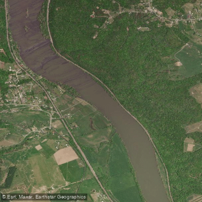
New River
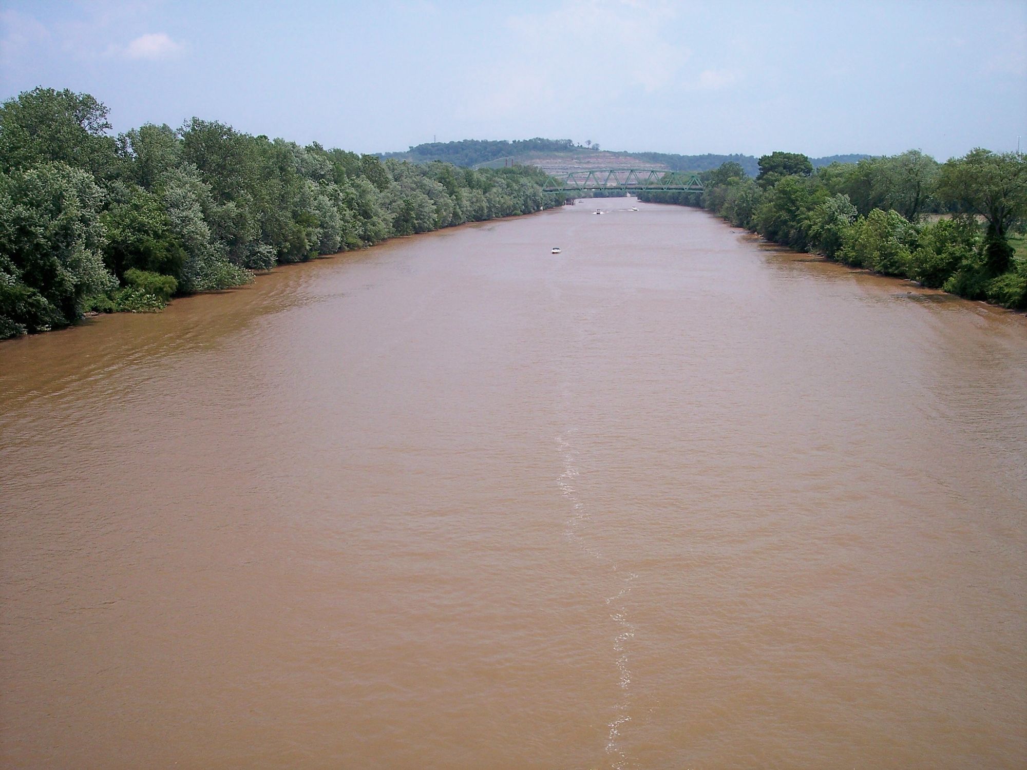
Kanawha River
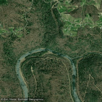
Gauley River
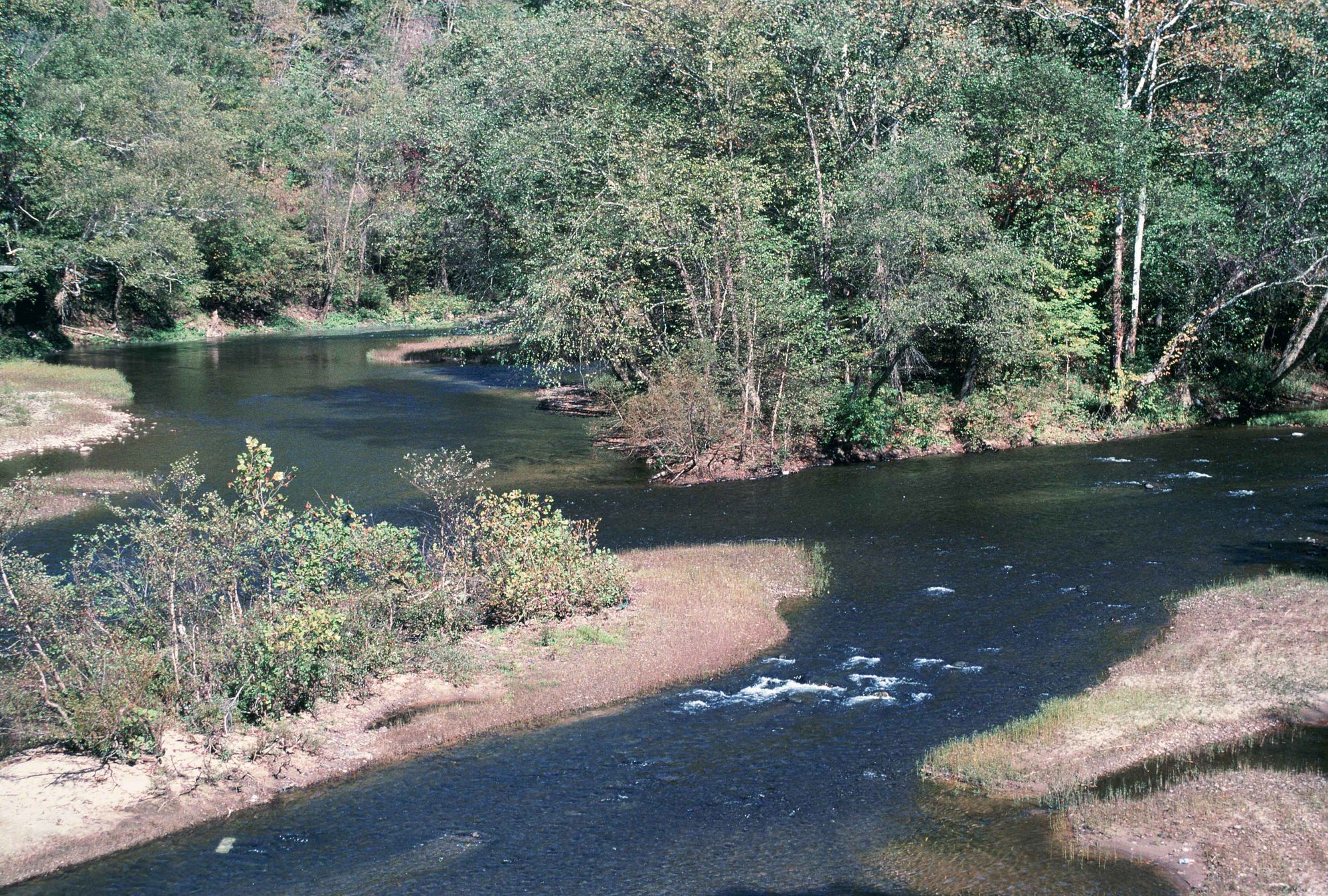
Elk River
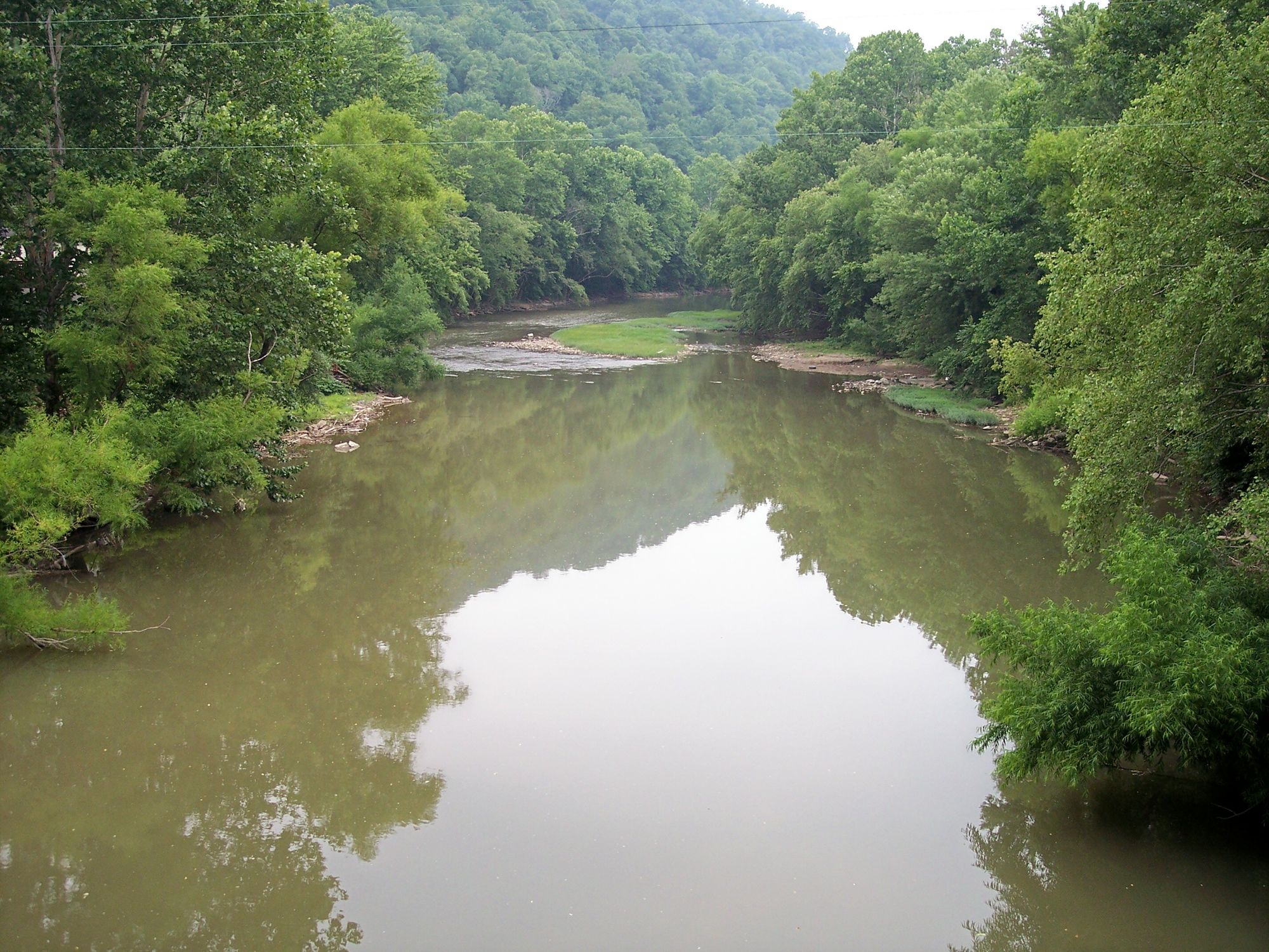
Guyandotte River
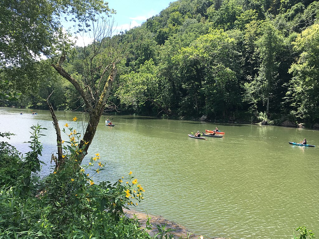
Greenbrier River
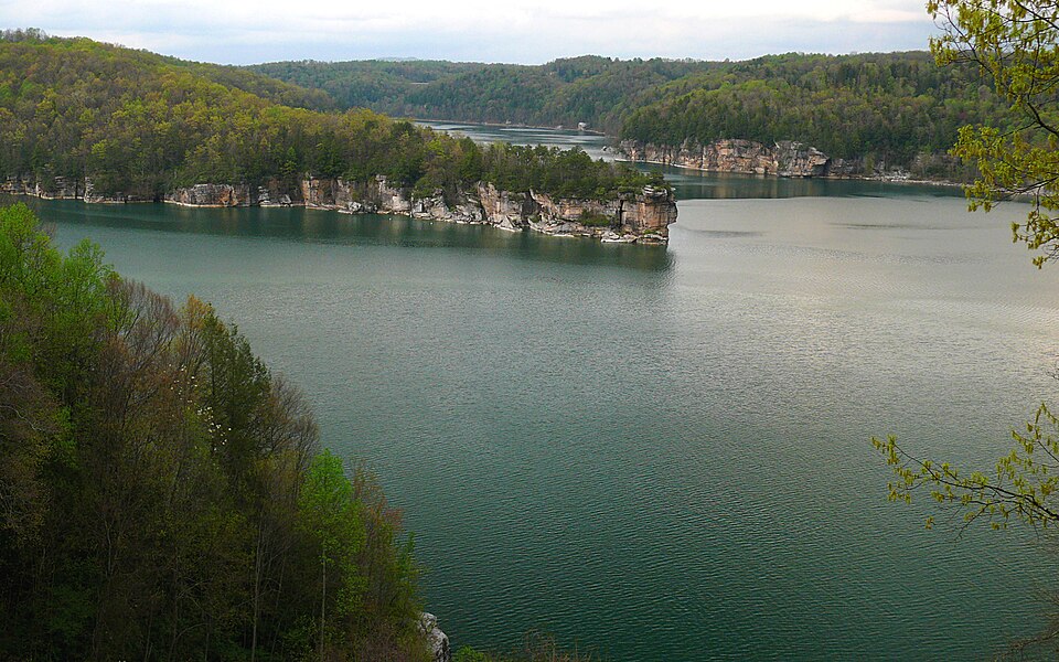
Summersville Lake
Meadow River
Piney Creek
Explore West Virginia waters
Top paddling waters
Popular Cities
Loading popular cities...
Explore near Wolf Creek
Access points
- Tunney Hunsaker Bridge
- New River Gorge Bridge
- Hawk's Nest Railroad Bridge
- Thurmond Rd Bridge
- Cotton Hill Bridge
- American Alpine Club New River Gorge Campground
- Chestnut Creek Campground
- Chestnut Creek Campground
- Dunglen Campground
- Fayette Station Parking
- Cunard Access Parking
- Cotton Hill Parking
- All 13 spots
Nearby waters
More in West Virginia

Smarter Paddling Starts in the App.
Paddleways gives you everything you need to plan smarter, paddle better, and own every trip from first launch to takeout.