Muskingum River
Muskingum River
- Boat Ramps
- 22
- Access Points
- 23
- Campsites
- 8
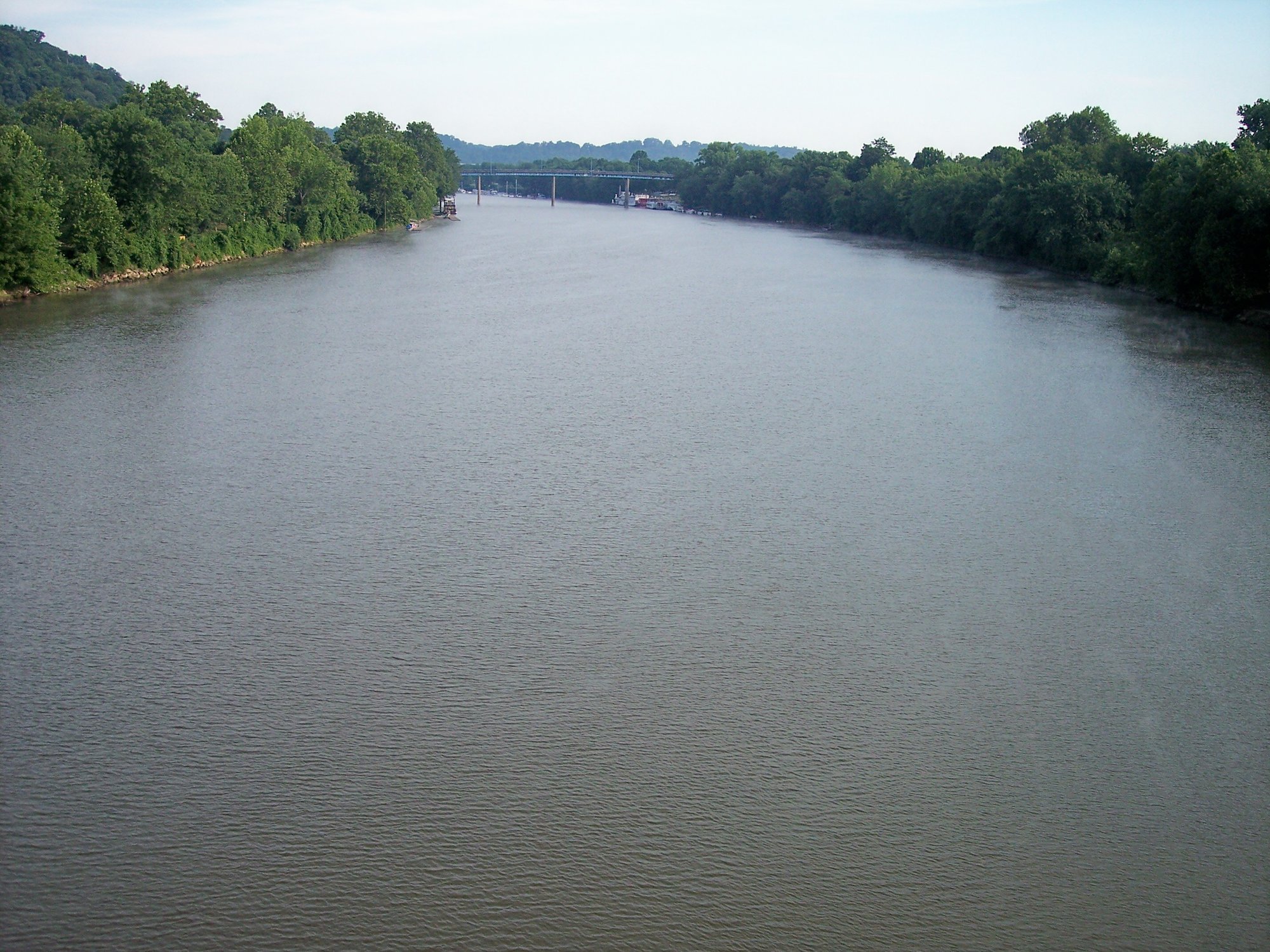
The Muskingum River is the longest navigable river lying entirely within Ohio, flowing south for 112 miles from the confluence of the Tuscarawas and Walhonding Rivers in Coshocton to its mouth at the Ohio River in Marietta. Major tributaries include the Licking River, which joins at Zanesville. The river offers diverse paddling opportunities, from leisurely flatwater stretches to more challenging sections with locks and dams. Popular paddling routes include Coshocton to Dresden (30 miles), Zanesville to Stockport (18 miles), and McConnelsville to Beverly (30 miles). The entire river can be paddled from Coshocton to Marietta (approximately 75 miles) for a multi-day adventure.
Overall, the Muskingum is considered a flatwater river suitable for novice to intermediate paddlers. However, navigating the historic lock system requires some skill and preparation. The river is best paddled in spring, summer, and fall, with autumn offering cooler temperatures and scenic foliage. Summer paddling can be hot with little shade along some stretches.
The river valley supports diverse wildlife, including bald eagles, herons, and various fish species. Paddlers may encounter deer, turtles, and waterfowl along the forested banks. Key landmarks include the famous Y-Bridge in Zanesville, the historic lock and dam system, and several quaint river towns. The Muskingum River Navigation Historic District, encompassing the locks and dams, is on the National Register of Historic Places.
Major access points include Coshocton, Dresden, Zanesville, McConnelsville, Beverly, and Marietta. Many of these towns offer amenities for paddlers, including camping at some lock sites.
The Muskingum played a crucial role in Ohio's early development, serving as a major transportation route. Today, its lock and dam system, built in the 1840s, is the only remaining hand-operated system in the United States, offering paddlers a unique historical experience.
Safety considerations include checking water levels and lock operations before trips, as low water can create challenging conditions. Paddlers must also be aware of commercial traffic, especially near Marietta where the Muskingum meets the Ohio River. For multi-day trips, paddlers can camp at designated sites along the river, including Luke Chute Lock #5 and Ellis Lock #11. These longer journeys offer an immersive experience of the river's natural beauty and rich history.
Water access, boat ramps & amenities
Learn how to get on Muskingum River. Uncover great paddling access points, boat ramps, and all the facilities you need for an unforgettable day on the water. Some locations shown may border or include private property. Always check property boundaries and applicable regulations before visiting. PaddleWays's Public & Private Land layer can help you plan your access with confidence.
Paddle smarter with real-time insights
Whether you're en route and conditions shift or you're looking for the best spot based on current flows, we enable you to make informed decisions on the fly.








Find Places to Paddle

Over 400,000 Places to Paddle
Every user gets free access to launch points, boat ramps, and public property parcels.


Water and weather conditions (10 day forecast)
See the best times to paddle Muskingum River and check the forecast before you go.
Muskingum River near Coshocton OH
All Flow Stations
Paddling near Muskingum River
Licking River
Tuscarawas River

Ohio River
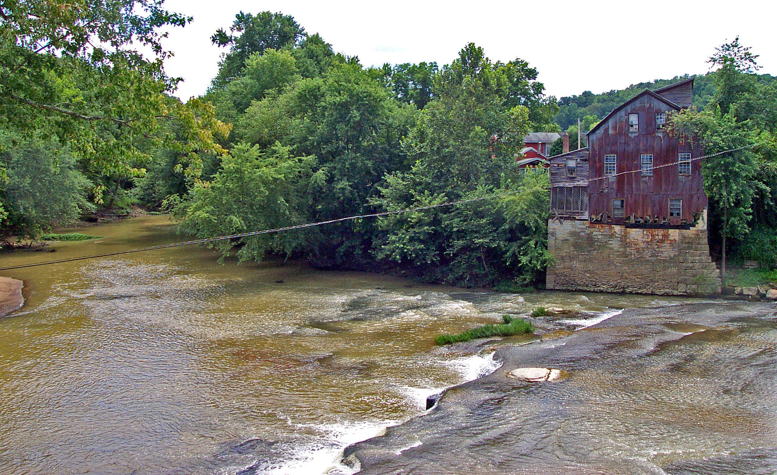
Raccoon Creek
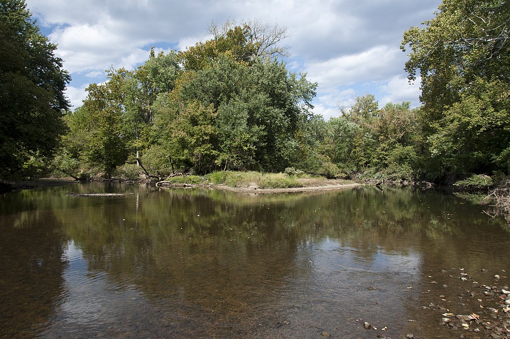
Big Walnut Creek
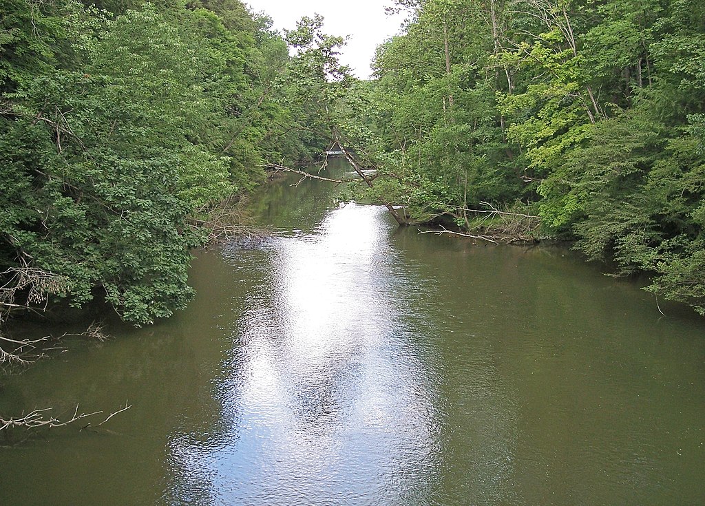
Clear Fork Mohican River
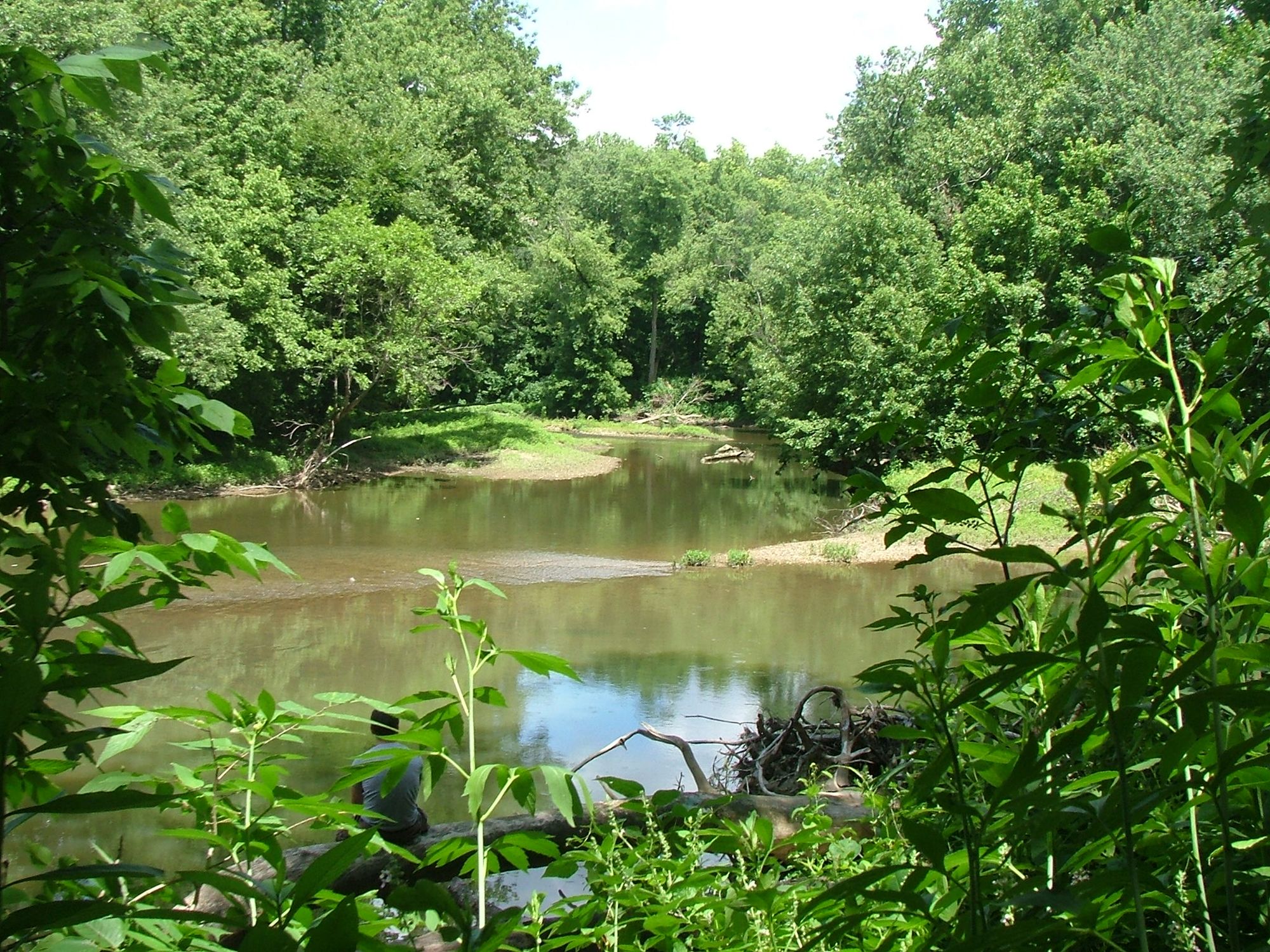
Alum Creek
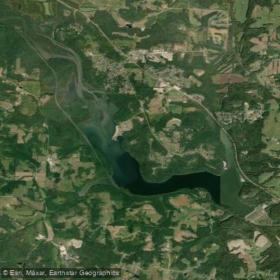
Dillon Lake
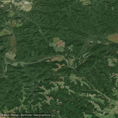
Wills Creek Lake
Explore West Virginia waters
Top paddling waters
Popular Cities
Loading popular cities...
Explore near Muskingum River
Access points
- Beverly Boat Ramp
- Beverly Boat Ramp
- Muskingum River Boat Ramp
- Muskingum River Boat Ramp
- Muskingum Valley Boat Ramp
- Malta Village Ramp Boat Ramp
- Putnam Landing Boat Ramp
- Muskingum River Boat Ramp
- Muskingum River Hand Boat Launch
- Kirkbride Boat Ramp
- Muskingum River Campgrounds Boat Ramp
- Muskingum River Boat Ramp
- All 277 spots
Nearby waters
More in West Virginia

Smarter Paddling Starts in the App.
Paddleways gives you everything you need to plan smarter, paddle better, and own every trip from first launch to takeout.