Curated by PaddleWays
RouteClass III
- Distance
- 16.1 mi
- Paddle time
- ~4 hrs
- Best for
- Experienced paddlers
- Put-in → take-out
- Downtown Beaver Dam, below the dam → Lowell
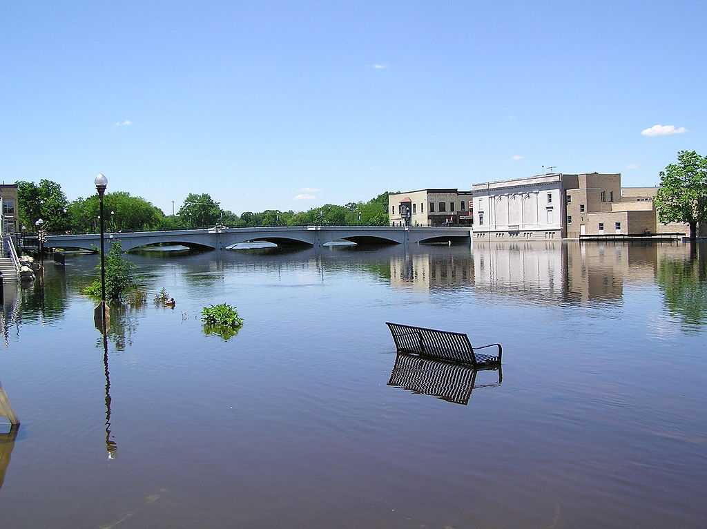
Strongest rapids in downtown Beaver Dam
The Beaver Dam River is a scenic waterway in southeastern Wisconsin, originating at Beaver Dam Lake in the city of Beaver Dam. It flows southward for approximately 35 miles before joining the Crawfish River near Columbus. The river is part of the Rock River watershed, which ultimately drains into the Mississippi River.
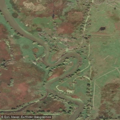
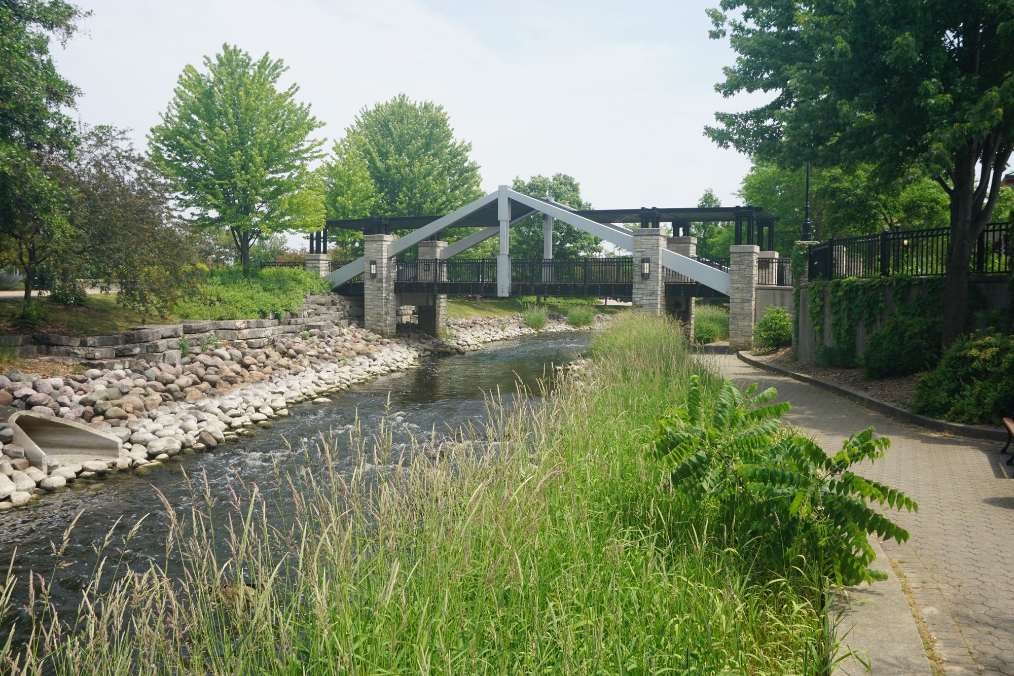
Paddlers can enjoy several distinct sections on the Beaver Dam River, ranging from exciting urban whitewater to peaceful flatwater stretches. The upper section through downtown Beaver Dam offers the most thrilling rapids, with Class II-III whitewater providing non-stop action for experienced paddlers. Below the city, the river transitions to a more moderate Class II difficulty as it winds through a mix of woodlands and farmland.
Popular paddling routes include: 1. Downtown Beaver Dam Urban Paddle (2-3 miles) 2. Cotton Mill Park to County Road J (5.5 miles) 3. County Road Q to River Road (11.25 miles) 4. Beaver Dam to Lowell (15 miles) 5. Lowell to Crawfish River confluence (15 miles)
The river is typically paddleable from spring through fall, with the best whitewater conditions occurring during spring runoff or after heavy rains. Summer and early fall offer more reliable water levels for flatwater paddling on the lower sections.
Wildlife enthusiasts may spot great blue herons, bald eagles, and various waterfowl along the river. The surrounding landscape features a mix of hardwood forests, wetlands, and agricultural fields.
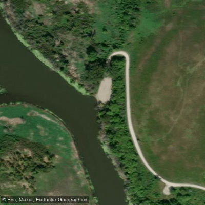
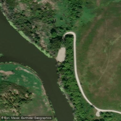
Key landmarks include the historic Cotton Mill Park in Beaver Dam, a picturesque train bridge, and the dam at Lowell. Primary access points are found in Beaver Dam, Lowell, and at various bridge crossings along the route.
The Beaver Dam River played a significant role in the region's early industrial development, powering mills and factories. Today, it serves as an important recreational resource for the community.
Paddlers should be aware of potential hazards such as low-head dams, strainers, and fluctuating water levels. It's essential to check current flow conditions, especially for the whitewater sections. The Beaver Dam River Recreational Paddling group organizes trips and can provide valuable local knowledge.
For those seeking a multi-day adventure, it's possible to combine the Beaver Dam River with the Crawfish River for an extended journey to the Rock River and beyond.
Curated routes
Hand-picked by the PaddleWays team, with put-ins, take-outs, paddle times and the hazards along the way.
RouteClass III
RouteClass II–III
Hazards
No paddler has reported a hazard here yet, so these are the dams, falls and big rapids on our map. Hazards change with flows and storms, so check them before you launch.
From the community
Nobody has shared a trip on Beaver Dam River yet. Paddle it, then tell the next paddler how it went.
See exactly where the public can get on and off the river. Launch points and boat ramps are paired with PaddleWays' public land data so you know where you can legally land.
Public shoreline
16%of the river's shoreline is public
Most of the riverbank is private. Launch, land and camp only at public access points.
Flows, weather and a route-by-route verdict, so you know which stretch of the Beaver Dam River is worth paddling today.
Live flows, marked hazards and fresh trip reports from paddlers who were just on the water, all in one place.





Every user gets free access to launch points, boat ramps, and public property parcels.


Loading popular cities...
PaddleWays gives you everything you need to plan smarter, paddle better, and own every trip from first launch to takeout.