Curated by PaddleWays
RouteClass I–II
- Distance
- 0.6 mi
- Paddle time
- ~0.5 hrs
- Put-in → take-out
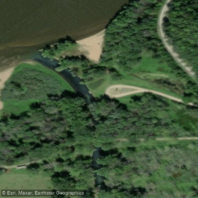
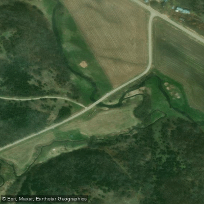
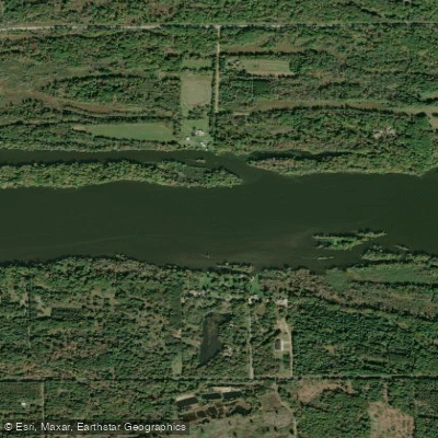
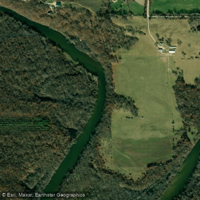
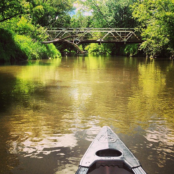
- Collins Road bridge → Big Green Road
Two barbed wire fences to cross
The Big Green River emerges from numerous gushing springs in Grant County, Wisconsin, forming a spring-fed tributary that rushes northwest through the Driftless Area before joining the Wisconsin River near Woodman. This clear, cold-water stream maintains a consistent temperature of approximately 50 degrees year-round, fed by substantial spring flow that keeps the water well-aerated and supports excellent trout habitat, particularly for naturally reproducing brown trout and rainbow trout.
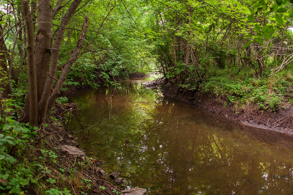
The river flows along Highway K from near Fennimore to its confluence with the Wisconsin River, carving through a landscape of emerald-green river valleys, wooded hillsides, open pastures, and dramatic sandstone outcrops. The stream averages about 15 feet in width through much of its course, though it widens to 25 feet in lower sections. Its character varies considerably—from narrow, twisting channels through dense woods to open pastureland bordered by grassy banks and "balding" hillsides managed as prairie.
Nine distinct paddling sections span the river from Green River Road to Highway 133, totaling approximately 16 miles of navigable water. The upper sections from Green River Road through Highway K offer the most exciting whitewater, with Class I-II rapids creating a thrilling "waterpark ride" experience through tight, twisting channels. The gradient averages 16 feet per mile, generating fast-paced paddling that typically requires 3-4 hours for longer stretches. Rapids intensify between Highway K and Highway T, where paddlers encounter the strongest whitewater and stunning sandstone formations. Below Highway T, the river mellows considerably, though paddlers must navigate occasional logjams and agricultural fences.
Spring and early summer provide optimal paddling conditions when water levels remain sufficient. The Wisconsin DNR maintains approximately eight miles of public fishing easements along the stream, offering excellent access from upstream of Spring Valley Road downstream to Highway 133, with only a brief quarter-mile section near Highway T lacking public access.
Special catch-and-release regulations apply between Highway 133 and Highway T, while upstream sections permit harvest of trout between 10-13 inches. The river supports excellent insect hatches year-round, attracting fly fishers to productive pools and riffles throughout its length.
Historic remnants dot the valley, including the old Dinky Trail railbed that followed the river from 1878-1926, part of a 92-mile narrow gauge line connecting Woodman to Fennimore. Access points at Green River Road, multiple Highway K crossings, Collins Road, Big Green Road, Highway T, and Highway 133 provide numerous put-in and take-out options near the communities of Fennimore and Woodman. Paddlers should anticipate encountering barbed-wire fences (some electrified) across the river in pasture sections, particularly between Collins Road and Highway T.
Curated routes
Hand-picked by the PaddleWays team, with put-ins, take-outs, paddle times and the hazards along the way.
RouteClass I–II
RouteClass I–II
RouteClass I–II
RouteClass I–II
Hazards
No hazards are marked on Big Green River yet. That is not the same as none being there: if you find one, report it for the next paddler.
From the community
Nobody has shared a trip on Big Green River yet. Paddle it, then tell the next paddler how it went.
See exactly where the public can get on and off the river. Launch points and boat ramps are paired with PaddleWays' public land data so you know where you can legally land.
Public shoreline
0%of the river's shoreline is public
Most of the riverbank is private. Launch, land and camp only at public access points.
Flows, weather and a route-by-route verdict, so you know which stretch of the Big Green River is worth paddling today.
No forecast data available.
Live flows, marked hazards and fresh trip reports from paddlers who were just on the water, all in one place.





Every user gets free access to launch points, boat ramps, and public property parcels.

Loading popular cities...
PaddleWays gives you everything you need to plan smarter, paddle better, and own every trip from first launch to takeout.