Curated by PaddleWays
RouteFlatwater
- Distance
- 3 mi
- Paddle time
- ~1 hr
- Best for
- Kayak, canoe
- Put-in → take-out
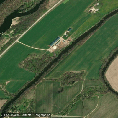
- Milford → Aztalan State Park
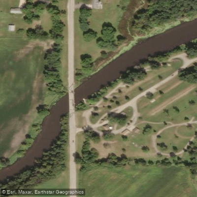
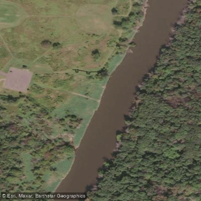
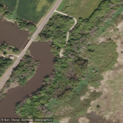
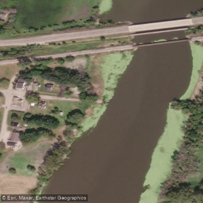
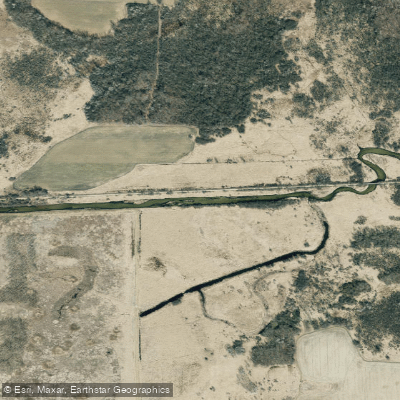
The Crawfish River is a slow-moving waterway in south-central Wisconsin, originating near Columbus and flowing south to join the Rock River near Jefferson. This 80-mile long river drains a watershed of approximately 740 square miles, with its main tributaries including the North and South Branches of the Crawfish. Paddling opportunities on the Crawfish River cater primarily to beginners and intermediate kayakers or canoeists looking for a peaceful journey. The river is characterized by its muddy, slow-moving waters and gradually widening profile as it progresses downstream.
Popular sections include the 9-mile stretch from Fall River to Columbus, the 9.75-mile segment from Milford to Jefferson, and the scenic 6.75-mile paddle from County Road I to County Road G. The overall difficulty of the Crawfish River is flatwater, with occasional riffles and boulder gardens in certain sections near Columbus. Most segments are suitable for novice paddlers, though some experience is beneficial for navigating potential log jams or low water conditions.
Spring and early summer typically offer the best water levels for paddling, while late summer and fall may present challenges with low water in some areas. The river is generally paddleable from April through October, weather permitting. Wildlife enthusiasts can spot white egrets along the banks, and the surrounding landscape features a mix of woodlands, farmland, and occasional prairie.
Key landmarks include the historic Danville Mill Pond, Astico Park, and Aztalan State Park, which offers insight into the area's Native American history. Popular access points include Fall River, Columbus, Milford, Jefferson, and Aztalan State Park. These put-ins and take-outs are generally close to their namesake towns, providing convenient logistics for day trips.
The Crawfish River holds historical significance as a transportation route for early settlers and played a role in the region's agricultural development. Today, it offers a tranquil escape for paddlers and anglers alike. Safety considerations include checking water levels before trips, being prepared for limited stopping points on some sections, and watching for occasional submerged obstacles. As with all Wisconsin waterways, life jackets are required.
While most paddlers enjoy day trips on the Crawfish, its gentle nature and multiple access points could allow for multi-day adventures for those seeking a more immersive river experience. Camping options are limited along the river itself, so careful planning is necessary for overnight trips.
Curated routes
Hand-picked by the PaddleWays team, with put-ins, take-outs, paddle times and the hazards along the way.
RouteFlatwater
Hazards
No paddler has reported a hazard here yet, so these are the dams, falls and big rapids on our map. Hazards change with flows and storms, so check them before you launch.
From the community
Nobody has shared a trip on Crawfish River yet. Paddle it, then tell the next paddler how it went.
Nicki K. •
Has anyone kayaked the Crawfish River to goat island before? Is it a beginner level?
See exactly where the public can get on and off the river. Launch points and boat ramps are paired with PaddleWays' public land data so you know where you can legally land.
Public shoreline
10%of the river's shoreline is public
Most of the riverbank is private. Launch, land and camp only at public access points.
Flows, weather and a route-by-route verdict, so you know which stretch of the Crawfish River is worth paddling today.
Live flows, marked hazards and fresh trip reports from paddlers who were just on the water, all in one place.





Every user gets free access to launch points, boat ramps, and public property parcels.

Loading popular cities...
PaddleWays gives you everything you need to plan smarter, paddle better, and own every trip from first launch to takeout.