Curated by PaddleWays
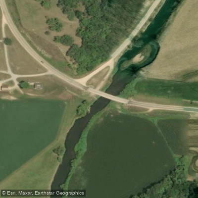
RouteClass I
- Distance
- 0.6 mi
- Paddle time
- 0.3–0.5 hrs
- Put-in → take-out
- Highway A → Grays Mill Road
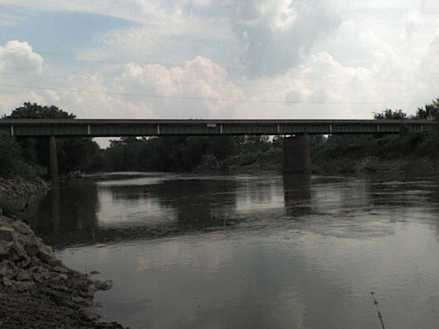
Maybe one downed tree
The Grant River flows for 44 miles through southwestern Wisconsin's Grant County before joining the Mississippi River near Potosi. As a tributary of the upper Mississippi, this waterway cuts through the heart of Wisconsin's Driftless Area, creating a dramatic valley landscape characterized by steep ridges, deep hollows, and distinctive geological formations. The river originates in the agricultural lands near Pine Grove Road and flows generally southwestward, gaining volume from tributaries including Boice Creek, Rattlesnake Creek, Pigeon Creek, Blake Fork, Little Grant River, Borah Creek, and Rogers Branch.
The Grant River offers approximately 35 miles of paddleable water across fifteen distinct sections, ranging from the technical upper reaches near Highway 61 to the broader lower stretches approaching the Mississippi. The river's signature feature is its exceptional concentration of limestone and sandstone outcrops—exotic textured cliffs that create some of the most striking scenery in southern Wisconsin. These geological formations appear frequently throughout the middle sections, particularly between Short Cut Road and Chaffie Hollow Road, where paddlers encounter continuous rock walls, narrow channels, and intimate passages that push boats close to ancient stone faces.
Difficulty ranges from Class I to Class II, with the upper sections (Highway 61 to Pine Knob Road) requiring higher water levels—typically around 800 CFS at the Burton gauge—and featuring steeper gradients of 13-15 feet per mile. The most popular middle sections from Short Cut Road through Chaffie Hollow Road offer consistent Class I-II water with numerous riffles and occasional rapids, while lower sections become mellower as the river broadens. Spring provides optimal paddling conditions with higher flows and less obscuring foliage, though the river remains reliable even during drought conditions due to spring-fed tributaries.
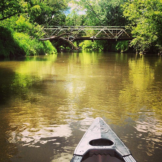
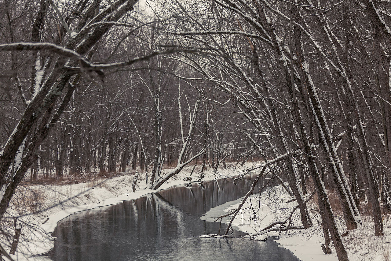
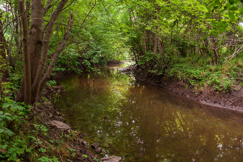
The river flows through classic driftless terrain of deep valleys between tall ridges and bluffs, with tree-lined banks transitioning between forested corridors and agricultural pastures. Wildlife sightings commonly include ducks, hawks, and various songbirds, while the clear jade-green pools harbor trout populations in the upper reaches.
Access points span from Lancaster in the north through Beetown and Cassville, with the most popular put-ins at Short Cut Road (Porter Hill fishing access), County Road U, Camel Ridge Road, and Chaffie Hollow Road. Three commercial outfitters operate in the Beetown-Cassville area: Grant River Canoe and Kayak Rental, Y'Allbee Tubin, and Grant River Tubin' Co., providing shuttle services and equipment rentals.
The Camel Ridge Road to Chaffie Hollow Road section ranks as the state's most popular tubing stretch, featuring maintained beaches, a scenic waterfall, and good current. Multi-day options exist combining sections from Short Cut Road to Potosi Point Recreational Area at the Mississippi confluence. Nelson Dewey State Park near Cassville provides camping facilities for river-based trips.
Paddlers should note that logjams present significant hazards in certain sections, particularly between Pine Knob Road and Highway A, while private landings at Chaffie Hollow Road and Burton require permission from local outfitters for access.
Curated routes
Hand-picked by the PaddleWays team, with put-ins, take-outs, paddle times and the hazards along the way.
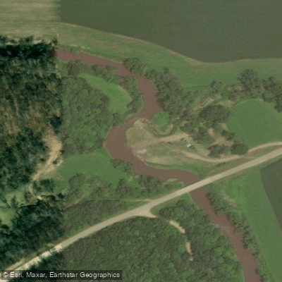
RouteClass I
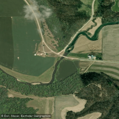
RouteClass I–II
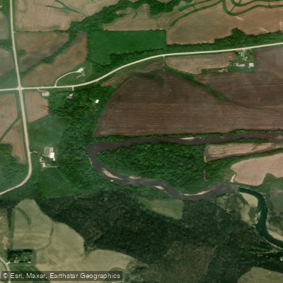
RouteClass I–II
RouteFlatwater
RouteClass I–II
Hazards
No hazards are marked on Grant River yet. That is not the same as none being there: if you find one, report it for the next paddler.
From the community
Nobody has shared a trip on Grant River yet. Paddle it, then tell the next paddler how it went.
See exactly where the public can get on and off the river. Launch points and boat ramps are paired with PaddleWays' public land data so you know where you can legally land.
Public shoreline
1%of the river's shoreline is public
Most of the riverbank is private. Launch, land and camp only at public access points.
Flows, weather and a route-by-route verdict, so you know which stretch of the Grant River is worth paddling today.
Live flows, marked hazards and fresh trip reports from paddlers who were just on the water, all in one place.





Every user gets free access to launch points, boat ramps, and public property parcels.

Loading popular cities...
PaddleWays gives you everything you need to plan smarter, paddle better, and own every trip from first launch to takeout.