Curated by PaddleWays
RouteFlatwater
- Distance
- 3 mi
- Paddle time
- ~1 hr
- Put-in & take-out
- Lower Nemahbin Lake Public Access
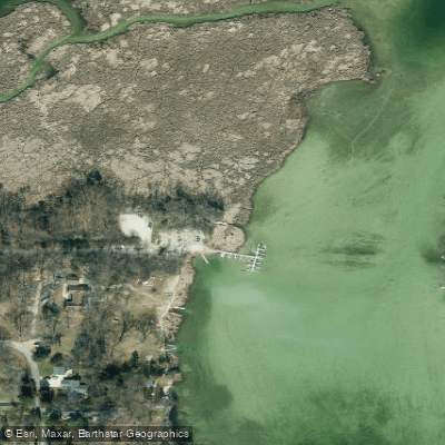
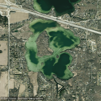
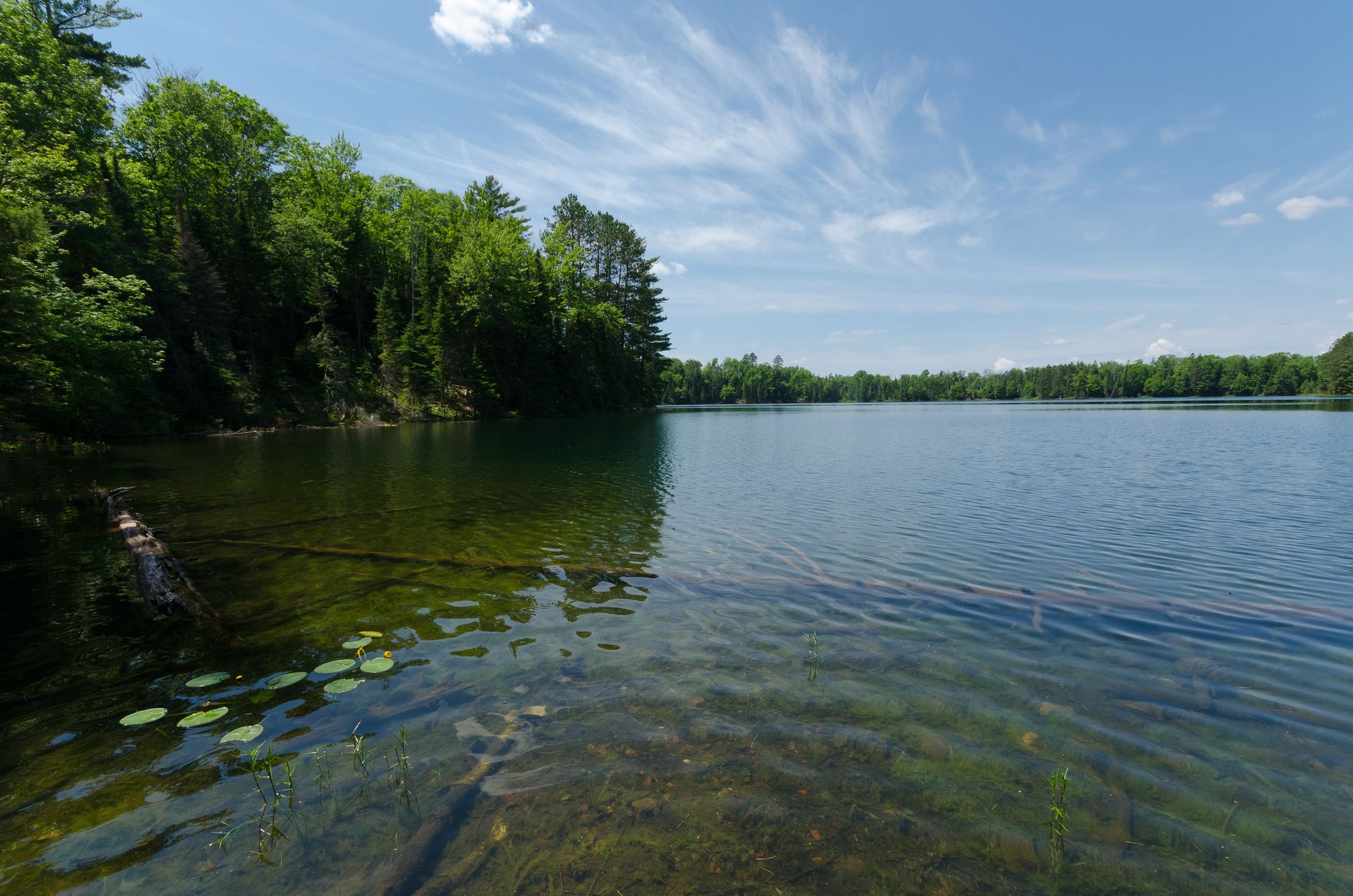
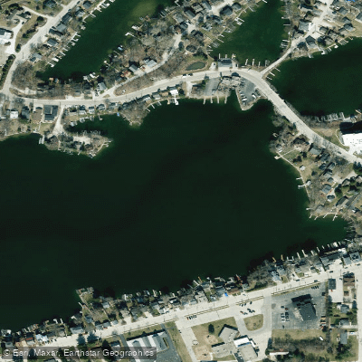
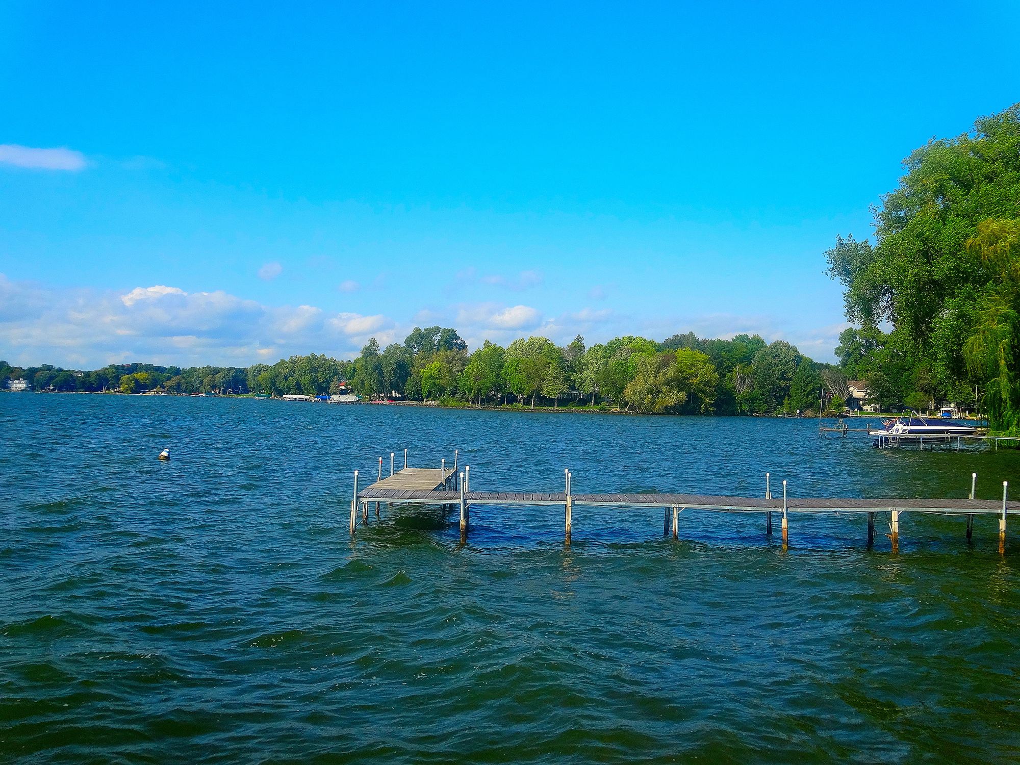
Lower Nemahbin Lake is a 239-acre lake in Waukesha County, Wisconsin, featuring exceptionally clear water and a maximum depth of 36 feet. The lake is distinguished by Sugar Island, a large wooded island in its northwest section that is only accessible by water. The Bark River flows through the lake, entering from Upper Nemahbin Lake and exiting on the western side.
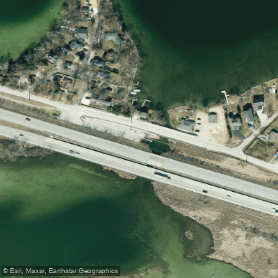
Three launch options serve paddlers: a free DNR kayak launch on Highway P with a small gravel parking lot (5-8 cars) and dock accessible via a wooded trail; a DNR boat launch with concrete ramp and asphalt parking ($6.50 fee); and a private launch by a bar ($6.00 fee) that offers boat rentals and features a wooden ramp. The Sugar Island Road area provides dedicated paddler parking and launch access at no cost.
The lake's water clarity is remarkable, allowing paddlers to observe the sandy and gravelly bottom. A complete circumnavigation takes approximately one hour. The southern end features interesting channels to explore, while the western end includes an extensive cattail marsh where the Bark River exits. A unique feature called the "Blue Hole" can be found in the northern channel of the cattail marsh - a very deep hole remaining from an old marl mine.
Wildlife observations typically include painted turtles, various fish species, blue herons, green herons, and waterfowl. The lake supports healthy populations of walleye, northern pike, largemouth bass, and panfish.
Most powerboat traffic concentrates in the main basin, while paddlers often find quieter conditions in the channels and marsh areas. Winter paddling is possible, as sections of the lake often remain ice-free, though water temperatures can drop into the 40s Fahrenheit. The lake tends to be particularly peaceful during off-season weekdays when most powerboats are winterized.
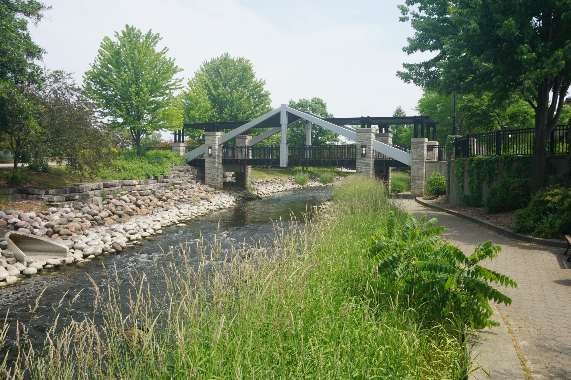
Paddlers should be aware of several invasive species present in the lake, including zebra mussels, Eurasian water-milfoil, and starry stonewort. The lake is subject to slow-no-wake restrictions during high water periods, which are marked on the freeway bridge at the boat launch.
Curated routes
Hand-picked by the PaddleWays team, with put-ins, take-outs, paddle times and the hazards along the way.
RouteFlatwater
Hazards
No paddler has reported a hazard here yet, so these are the dams, falls and big rapids on our map. Hazards change with flows and storms, so check them before you launch.
From the community
Real trips from PaddleWays paddlers: which route they ran, how the water was, and what to watch for.
Loading trip reports
Kory C.
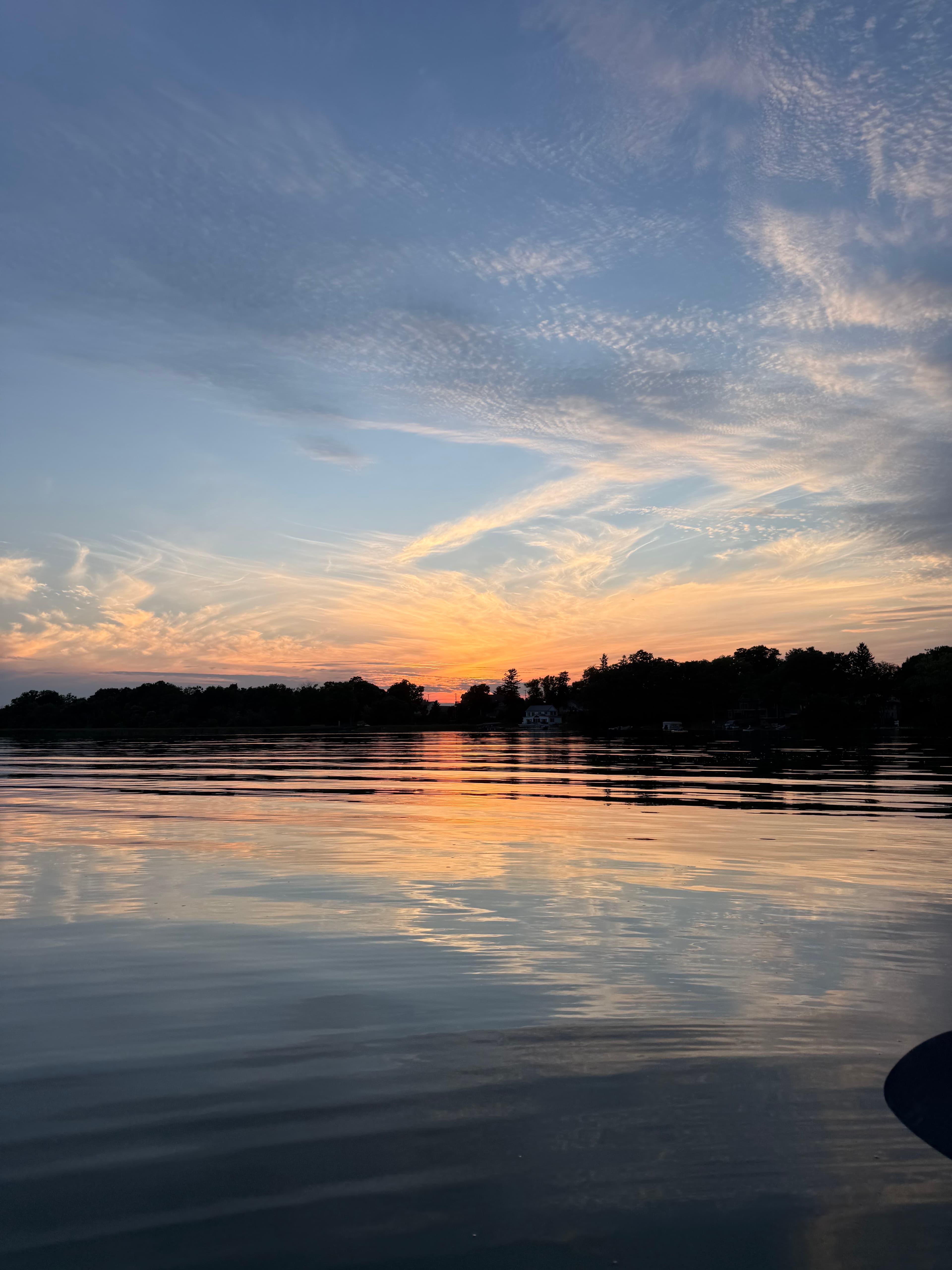
Launch is $100 for year pass, launch is swampy but effective. Buggy at night, horse fly’s. Lake is beautiful. Sand bar area by the bridge. Nice paddle.
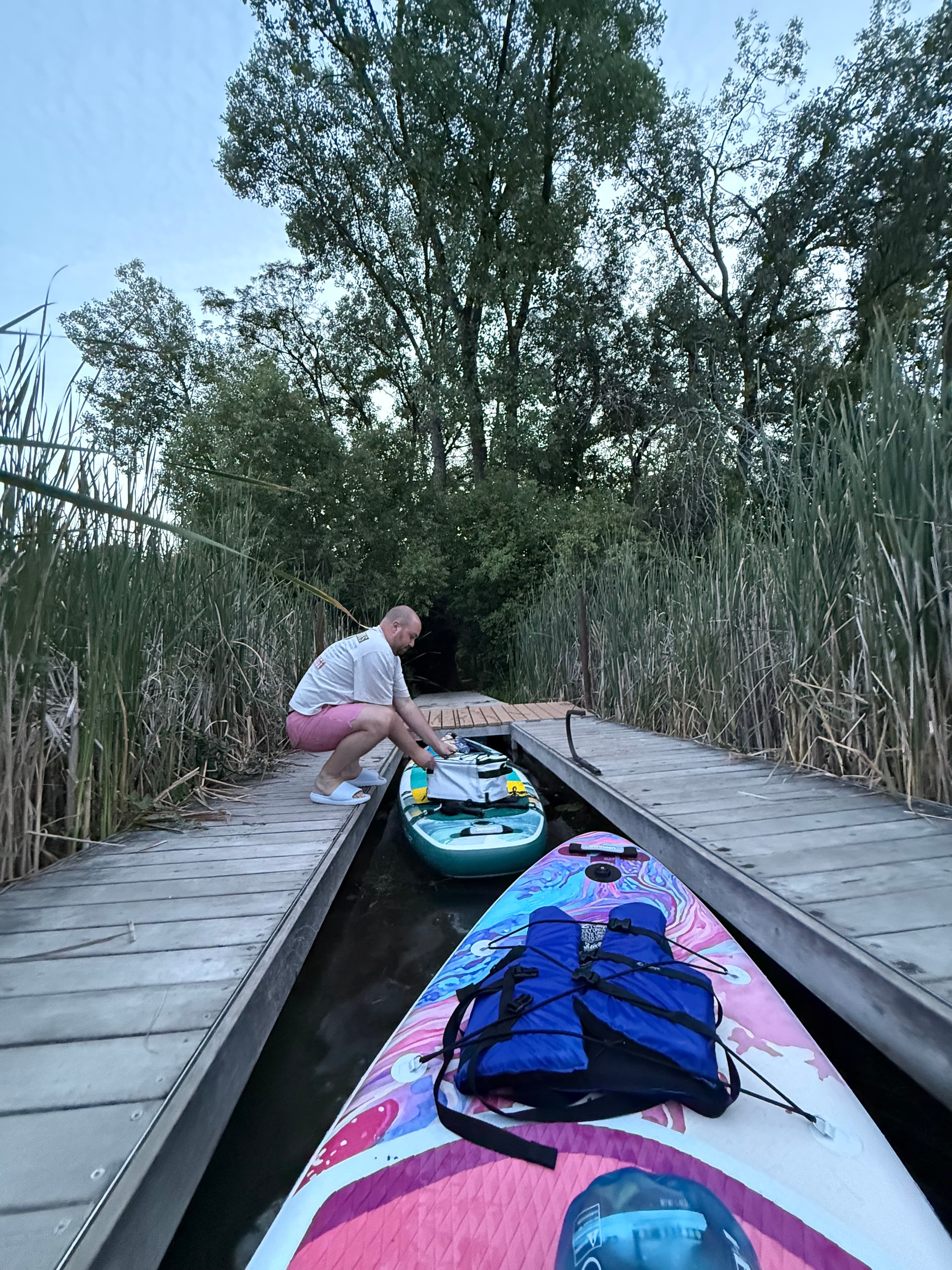
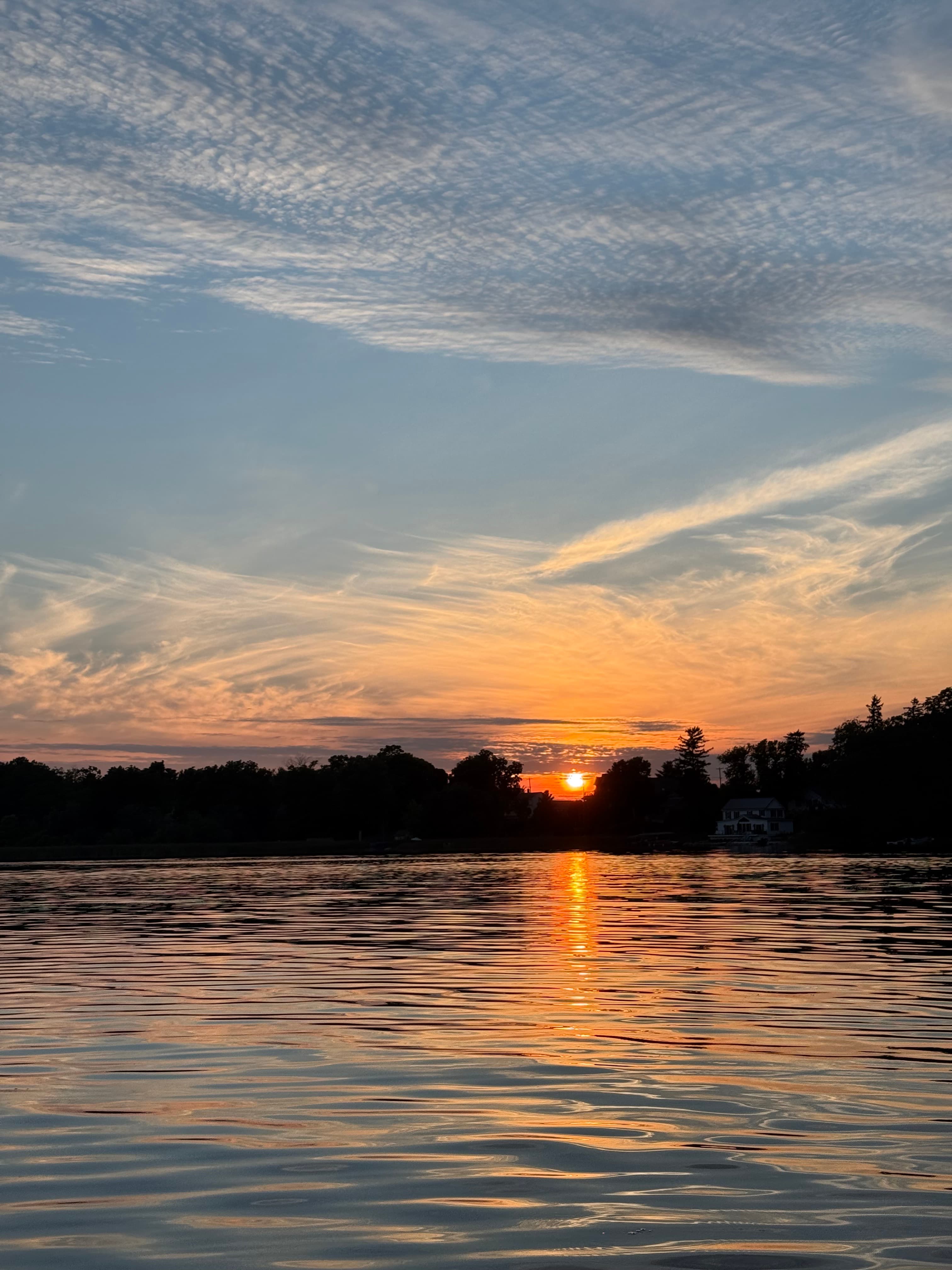 +7
See exactly where the public can get on and off the water. Launch points and boat ramps are paired with PaddleWays' public land data so you know where you can legally land.
Public shoreline
8%of the lake's shoreline is public
Most of the shoreline is private. Launch, land and camp only at public access points.
Weather, wind and a verdict for each route, so you know if Lower Nemahbin Lake is worth paddling today.
No forecast data available.
Live flows, marked hazards and fresh trip reports from paddlers who were just on the water, all in one place.





Every user gets free access to launch points, boat ramps, and public property parcels.

Loading popular cities...
PaddleWays gives you everything you need to plan smarter, paddle better, and own every trip from first launch to takeout.