Curated by PaddleWays
RouteClass II
- Distance
- 3.5 mi
- Paddle time
- 3.5 hrs
- Put-in → take-out
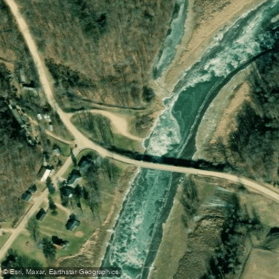
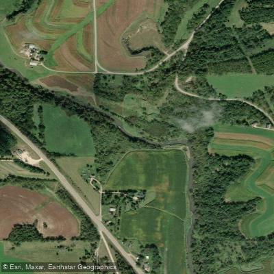
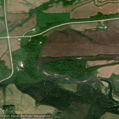
- Coon Hollow Road → County Road A
330-foot guardrail at the put-in
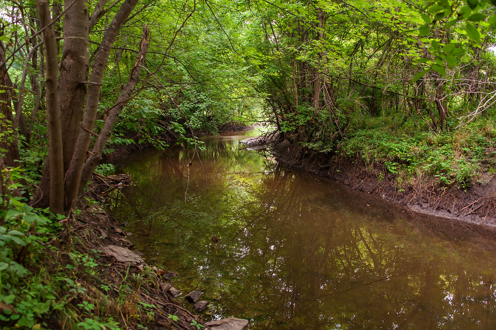
The Platte River in southwestern Wisconsin is a scenic waterway that flows approximately 45 miles from its headwaters near Platteville to its confluence with the Mississippi River near Potosi. This river system drains a watershed of around 300 square miles within the Driftless Area, characterized by steep forested hillsides and exposed limestone bluffs. The Platte offers paddlers a range of experiences, from swift-moving riffles in its upper reaches to calmer stretches as it approaches the Mississippi.
The river is typically divided into five main sections for paddling, with difficulty ranging from Class I to Class III. The upper sections near Ellenboro feature technical rapids and rock gardens, while the lower sections provide a more relaxed float. Paddling the Platte is best from spring through fall, with optimal water levels usually occurring in late spring and after summer rains. The river's flow can fluctuate quickly, so checking current conditions is advised.
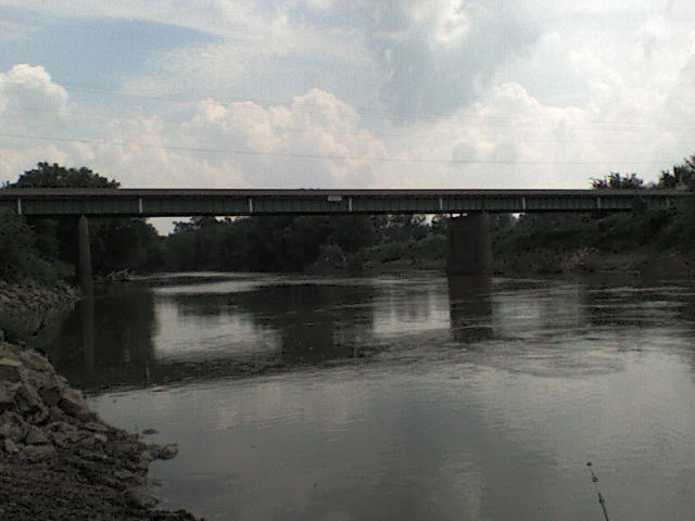
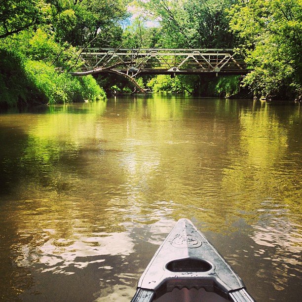
Wildlife enthusiasts may spot bald eagles, herons, and various fish species, while the surrounding landscape showcases native hardwood forests and prairie remnants. Key landmarks include several historic bridges, rock outcroppings, and the scenic hillsides near Big Platte Road.
Popular access points are found at County Road E, Ellenboro, County Road A, and the Banfield Bridge Recreation Area, with the towns of Platteville and Potosi serving as the main nearby communities.
The Platte River valley has a rich cultural history, with evidence of Native American habitation dating back thousands of years. European settlement in the 19th century brought lead mining and agriculture to the region, shaping the current landscape.
Paddlers should be aware of occasional strainers and low-head dams, particularly in the upper sections. Life jackets are required, and checking water levels before trips is strongly recommended. While most paddlers enjoy day trips, the full length of the river can be paddled as a multi-day adventure, with primitive camping available on sandbars (with landowner permission).
The Platte River provides a quintessential Driftless Area paddling experience, offering a mix of challenging whitewater, serene floats, and stunning natural scenery within a relatively short distance of major population centers in Wisconsin, Iowa, and Illinois.
Curated routes
Hand-picked by the PaddleWays team, with put-ins, take-outs, paddle times and the hazards along the way.
RouteClass II
RouteClass II–III
RouteClass I–II
RouteClass II–III
RouteClass I–II
Hazards
No hazards are marked on Platte River yet. That is not the same as none being there: if you find one, report it for the next paddler.
From the community
Nobody has shared a trip on Platte River yet. Paddle it, then tell the next paddler how it went.
See exactly where the public can get on and off the river. Launch points and boat ramps are paired with PaddleWays' public land data so you know where you can legally land.
Public shoreline
2%of the river's shoreline is public
Most of the riverbank is private. Launch, land and camp only at public access points.
Flows, weather and a route-by-route verdict, so you know which stretch of the Platte River is worth paddling today.
Live flows, marked hazards and fresh trip reports from paddlers who were just on the water, all in one place.





Every user gets free access to launch points, boat ramps, and public property parcels.

Loading popular cities...
PaddleWays gives you everything you need to plan smarter, paddle better, and own every trip from first launch to takeout.