Curated by PaddleWays
RouteClass I–II
- Distance
- 3.3 mi
- Paddle time
- ~1 hr
- Best for
- Beginners, intermediate paddlers
- Put-in → take-out
- Sheridan Springs Access → Riverview Park Access
Downed trees and low-hanging branches
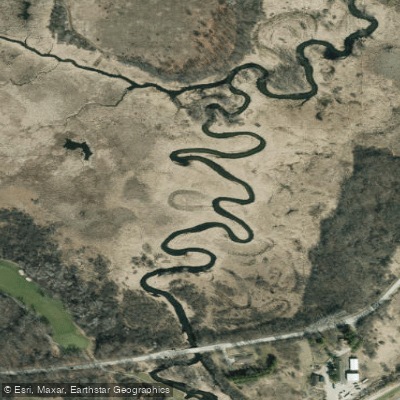
The White River originates from Geneva Lake in Walworth County, flowing northeast through a landscape shaped by glacial activity. This tributary of the Fox River travels approximately 15 miles through Walworth and Racine counties before joining the Fox near Burlington. The river's character transforms dramatically along its course, beginning as a narrow, clear-water stream and evolving into a broader, marshy waterway. The upper reaches near Lake Geneva flow through wetlands and agricultural land, with the river gradually gaining volume as it progresses.
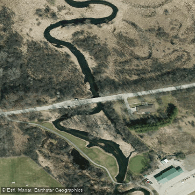
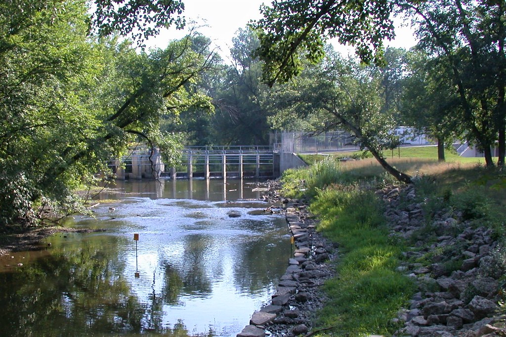
Between the two Sheridan Springs Road bridges, the White River reveals its most dynamic character, dropping through a 1.5-mile section of nearly continuous Class I-II rapids. This stretch features a gradient of approximately 10 feet per mile, creating the most technical paddling on the river. Below Spring Valley Road, paddlers encounter a notable Class II drop where an old dam once stood, requiring scouting before running.
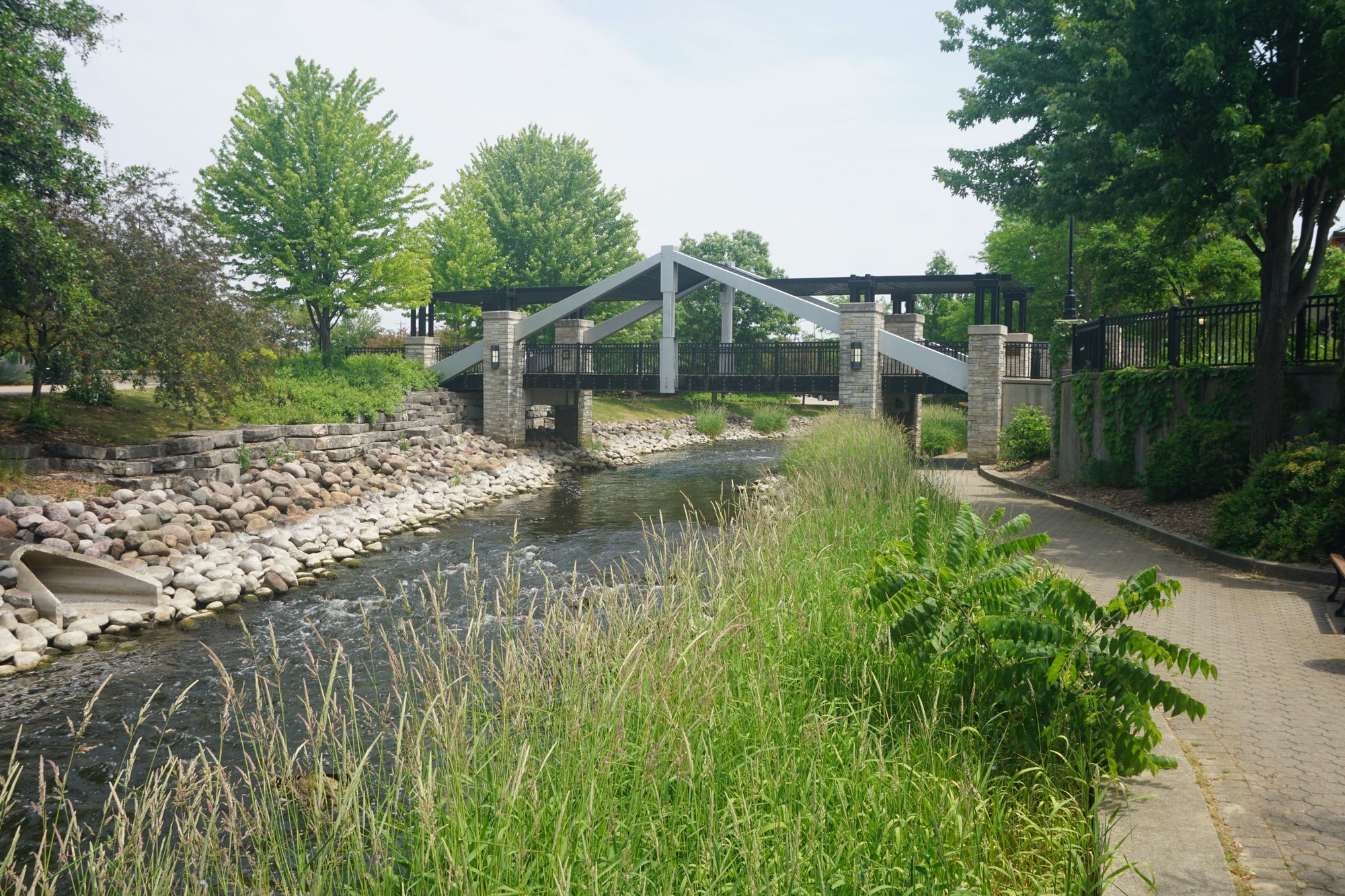
Paddling opportunities concentrate in three distinct zones. The section from the first Sheridan Springs Road bridge to Mill Street in Lyons offers 6.6 miles combining placid marsh paddling with exciting rapids. White River County Park provides trail access and two pedestrian bridges overlooking the whitewater section. Downstream from Lyons to Wagner Park in Burlington, the river widens and slows considerably, flowing through residential areas for approximately 7 miles with minimal current.
Skill requirements vary significantly by section. The upper marsh areas suit beginners, while the rapids between the second Sheridan Springs bridge and Lyons demand intermediate skills and solid boat control. The Spring Valley Road drop, though short, can be pushy in higher water and should be approached with caution.
Spring and early summer provide optimal paddling conditions when water levels remain adequate for navigating the rocky rapids sections. Late summer and fall often see insufficient water in the whitewater reaches, though the lower river typically maintains paddleable depths year-round. The Nippersink Creek gauge in Illinois serves as a proxy for water level assessment, with flows around 300 cfs considered ideal.
Wildlife sightings include sandhill cranes, great blue herons, wood ducks, and occasional bald eagles. The river corridor supports diverse vegetation from wetland grasses in the upper reaches to hardwood forests along the rapids section.
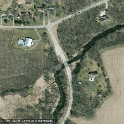
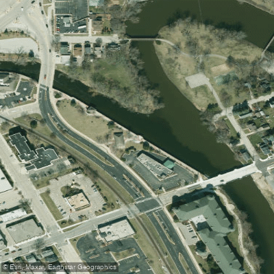
Access points include bridges at both Sheridan Springs Road locations, White River County Park (trail access only), Mill Street in Lyons (Riverview Park), and Wagner Park in Burlington. The proximity to Lake Geneva makes this an accessible destination for southeastern Wisconsin paddlers.
The river's popularity has grown significantly, particularly during summer weekends when dozens of paddlers may be encountered on the rapids section. Local volunteers maintain the corridor by clearing obstructions, though some deadfall persists in less-traveled areas.
Curated routes
Hand-picked by the PaddleWays team, with put-ins, take-outs, paddle times and the hazards along the way.
RouteClass I–II
RouteClass I–II
Hazards
No paddler has reported a hazard here yet, so these are the dams, falls and big rapids on our map. Hazards change with flows and storms, so check them before you launch.
From the community
Nobody has shared a trip on White River yet. Paddle it, then tell the next paddler how it went.
See exactly where the public can get on and off the river. Launch points and boat ramps are paired with PaddleWays' public land data so you know where you can legally land.
Public shoreline
3%of the river's shoreline is public
Most of the riverbank is private. Launch, land and camp only at public access points.
Flows, weather and a route-by-route verdict, so you know which stretch of the White River is worth paddling today.
All Flow Stations
Live flows, marked hazards and fresh trip reports from paddlers who were just on the water, all in one place.





Every user gets free access to launch points, boat ramps, and public property parcels.


Loading popular cities...
PaddleWays gives you everything you need to plan smarter, paddle better, and own every trip from first launch to takeout.