La Prele Reservoir
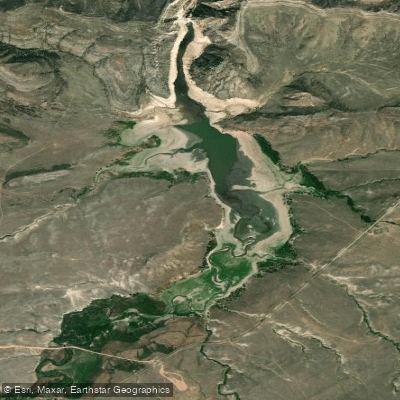
La Prele Reservoir
- Boat Ramps
- 0
- Access Points
- 0
- Campsites
- 0
La Prele Reservoir is located near Douglas, Wyoming. The reservoir was created by the La Prele Dam, which was built in 1909 primarily for irrigation purposes. The dam is 135 feet high and 320 feet long.
The reservoir has a normal storage capacity of 20,000 acre-feet and a maximum capacity of 26,850 acre-feet. Its surface area is 728 acres. The reservoir is fed by La Prele Creek, a tributary of the North Platte River.
Paddlers should be aware that the reservoir's primary purpose is irrigation, which may affect water levels throughout the season. The surrounding landscape features mixed conifer forest and mountains.
Wildlife that may be spotted around the reservoir includes elk, deer, migratory birds, and occasionally black bears. La Prele Creek, which feeds into the reservoir, is known for trout fishing.
While there are no specific paddling regulations or restrictions for La Prele Reservoir that we're aware of, it's always a good idea to check current conditions and any temporary restrictions before planning a trip, given its purpose as an irrigation reservoir.
The reservoir is situated at an elevation of approximately 6,500 feet. Its location in the foothills of Wyoming's Laramie Mountains provides scenic views for paddlers.
The reservoir's shape and size likely offer opportunities for day trips exploring the shoreline and inlets. Paddlers may also be able to access La Prele Creek above or below the reservoir for additional exploration.
When planning a visit to La Prele Reservoir, it's advisable to research current conditions, access options, and any available facilities for paddlers, as these can vary seasonally.
Water access, boat ramps & amenities
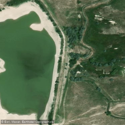
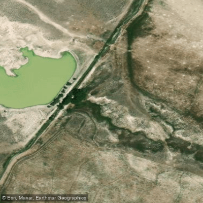
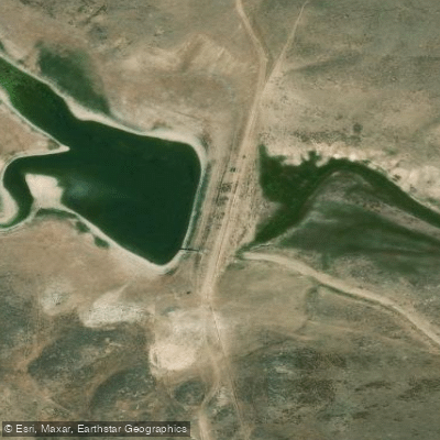
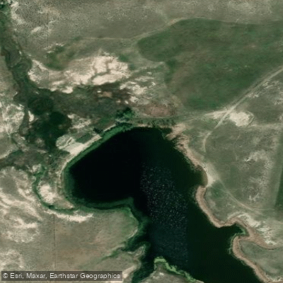
Learn how to get on La Prele Reservoir. Uncover great paddling access points, boat ramps, and all the facilities you need for an unforgettable day on the water. Some locations shown may border or include private property. Always check property boundaries and applicable regulations before visiting. PaddleWays's Public & Private Land layer can help you plan your access with confidence.
Paddle smarter with real-time insights
Whether you're en route and conditions shift or you're looking for the best spot based on current flows, we enable you to make informed decisions on the fly.








Find Places to Paddle

Over 400,000 Places to Paddle
Every user gets free access to launch points, boat ramps, and public property parcels.


Water and weather conditions (10 day forecast)
See the best times to paddle La Prele Reservoir and check the forecast before you go.
No forecast data available.
Paddling near La Prele Reservoir
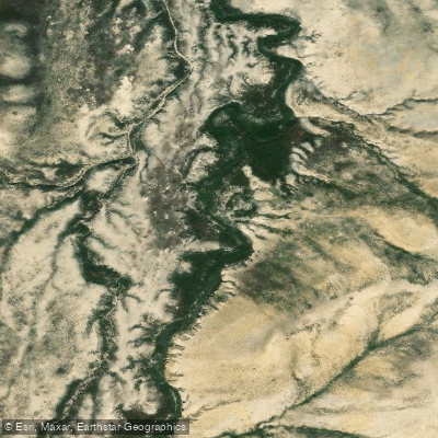
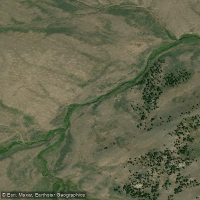
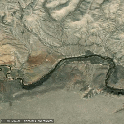
Explore Wyoming waters
Top paddling waters
Popular Cities
Loading popular cities...
Explore near La Prele Reservoir

Smarter Paddling Starts in the App.
Paddleways gives you everything you need to plan smarter, paddle better, and own every trip from first launch to takeout.