Glendo Reservoir
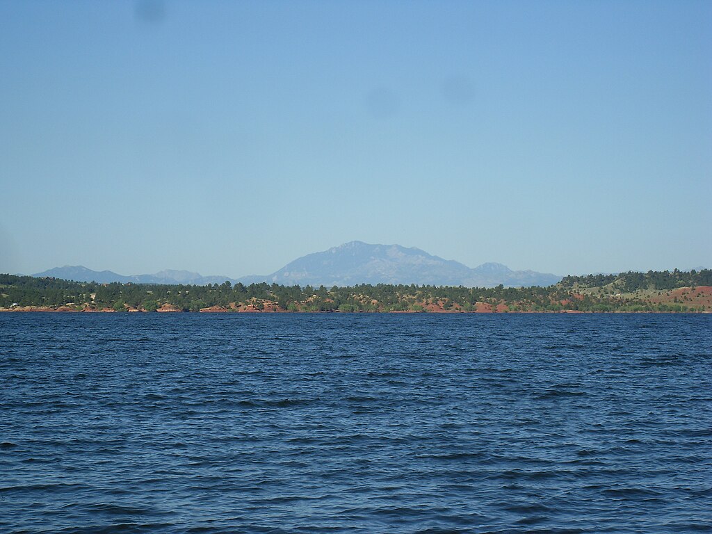
Glendo Reservoir
- Boat Ramps
- 8
- Access Points
- 8
- Campsites
- 22
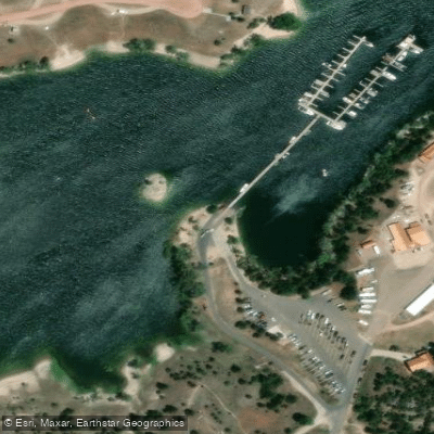
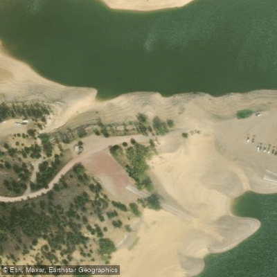
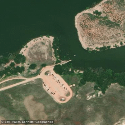
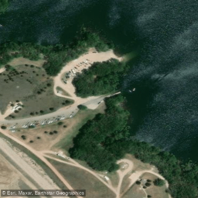
Glendo Reservoir, located in southeastern Wyoming, offers paddlers a vast 12,000-acre expanse to explore. The reservoir features 70 miles of shoreline and is surrounded by Glendo State Park's 22,000 acres. Six boat ramps provide access points for paddlers, with the Marina, Reno Cove, and Whiskey Gulch ramps typically available even at lower water levels.
The reservoir's water levels fluctuate significantly throughout the year, so paddlers should check current conditions before planning their trip. Water temperatures are generally most comfortable for paddling from late spring through early fall. The reservoir is known for its relatively calm waters, making it suitable for paddlers of various skill levels.
Glendo Reservoir is home to diverse wildlife, including wetland birds and fish species such as walleye, yellow perch, and channel catfish. Paddlers may spot bald eagles, deer, and various waterfowl. The surrounding landscape offers scenic views of hills and, on clear days, distant mountain peaks.
The park features over 45 miles of non-motorized trails along the shoreline, providing opportunities for paddlers to combine their water excursions with hiking or biking. Notable areas to explore include the Glendo Dam Wetlands Trail and the Muddy Bay Wetlands Interpretive Nature Trail, both offering unique ecosystems and wildlife viewing opportunities.
Facilities for paddlers include 19 campgrounds with over 500 sites, picnic areas, and a marina concession. The park is open year-round, but services are more limited outside the peak season from Memorial Day to Labor Day. Paddlers should be aware of potential motorized boat traffic, especially during busy summer weekends.
For those interested in the area's history, the nearby Oregon Trail Ruts offer a glimpse into the region's past as a significant route for westward migration.
Water access, boat ramps & amenities
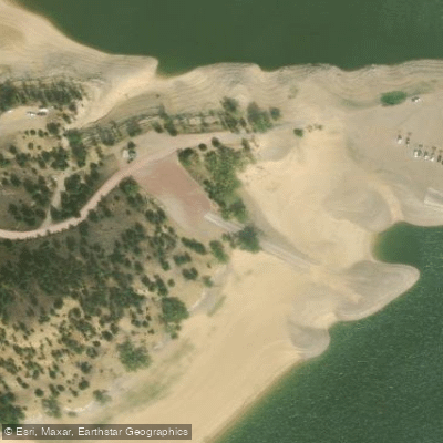
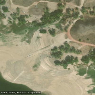
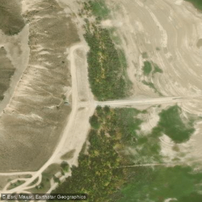
Learn how to get on Glendo Reservoir. Uncover great paddling access points, boat ramps, and all the facilities you need for an unforgettable day on the water. Some locations shown may border or include private property. Always check property boundaries and applicable regulations before visiting. PaddleWays's Public & Private Land layer can help you plan your access with confidence.
Paddle smarter with real-time insights
Whether you're en route and conditions shift or you're looking for the best spot based on current flows, we enable you to make informed decisions on the fly.








Find Places to Paddle

Over 400,000 Places to Paddle
Every user gets free access to launch points, boat ramps, and public property parcels.


Water and weather conditions (10 day forecast)
See the best times to paddle Glendo Reservoir and check the forecast before you go.
Glendo Reservoir Dam and Powerplant
Paddling near Glendo Reservoir
North Platte River
Alcova Reservoir
Pathfinder Reservoir
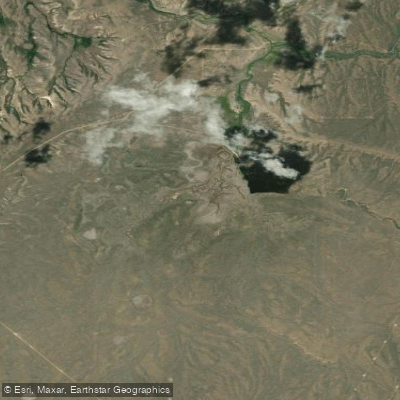
Bates Creek Reservoir
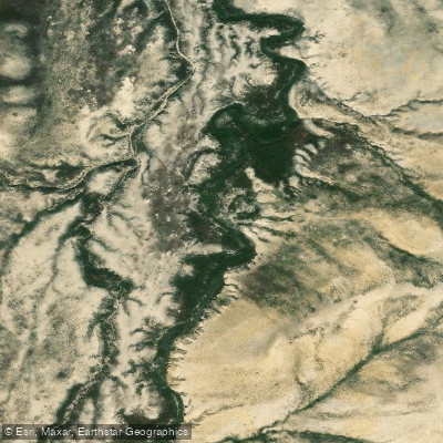
Bolton Creek
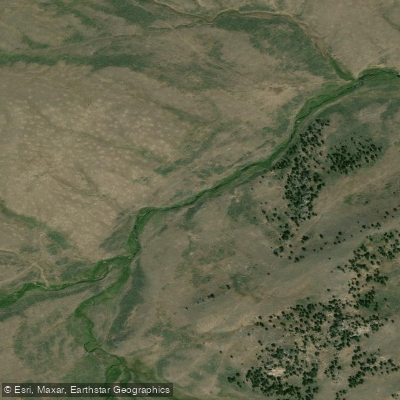
West Fork Deer Creek
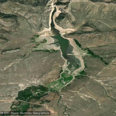
La Prele Reservoir
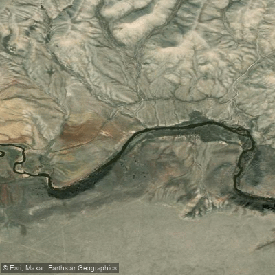
Sweetwater River
Explore Wyoming waters
Top paddling waters
Popular Cities
Loading popular cities...
Explore near Glendo Reservoir
Access points
- Glendo State Park - 1 Boat Ramp
- Meadowdale Boat Ramp
- Bennett Hill Boat Ramp
- Glendo Reservoir MArina Boat Ramp
- Glendo State Park - 2 Boat Ramp
- Elk Horn Boat Ramp
- Whiskey Gulch Boat Ramp
- Glendo Reservoir Boat Ramp
- Glendo State Park Campground
- Glendo State Park Campground
- Glendo State Park Campground
- Glendo State Park Campground
- All 30 spots
Nearby waters
More in Wyoming

Smarter Paddling Starts in the App.
Paddleways gives you everything you need to plan smarter, paddle better, and own every trip from first launch to takeout.