Seminoe Reservoir
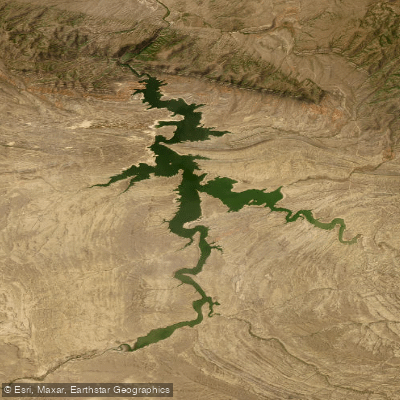
Seminoe Reservoir
- Boat Ramps
- 2
- Access Points
- 2
- Campsites
- 11
Seminoe Reservoir in Wyoming offers diverse paddling opportunities amid scenic mountain surroundings. The reservoir, created by damming the North Platte River, is flanked by the Seminoe Mountains which were once a site of gold prospecting in the late 1800s.
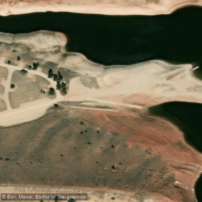
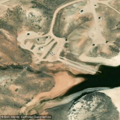
Access is available via a boat ramp on the northwest side of the reservoir within Seminoe State Park. The park provides camping facilities for overnight trips. Paddlers should be aware that the reservoir can experience strong winds, particularly in the afternoons, which can create challenging conditions.
The reservoir is known for excellent fishing, with opportunities to catch walleye, brown trout, and rainbow trout. Water temperatures vary seasonally, with late spring and early summer typically offering the most comfortable paddling conditions. By late May, water temperatures begin to warm, though they can still be quite cold.
Wildlife viewing is a highlight, with opportunities to spot various bird species and potentially larger mammals along the shoreline. The surrounding landscape features white sand dunes, providing a unique backdrop for paddling adventures.
Seminoe State Park offers hiking trails that can complement a paddling trip, allowing visitors to explore the area from different perspectives. The park is also popular for ATV enthusiasts, so paddlers may encounter some motorized activity in the vicinity.
Paddlers should note that Seminoe Reservoir can experience significant water level fluctuations depending on dam operations and seasonal conditions. It's advisable to check current water levels and weather forecasts before planning a trip. As with all Wyoming waters, a valid fishing license is required for anglers.
The reservoir's location in Carbon County provides access to other paddling destinations nearby, including the North Platte River below the dam, known for its trout fishing in the "Miracle Mile" section.
Water access, boat ramps & amenities
Learn how to get on Seminoe Reservoir. Uncover great paddling access points, boat ramps, and all the facilities you need for an unforgettable day on the water. Some locations shown may border or include private property. Always check property boundaries and applicable regulations before visiting. PaddleWays's Public & Private Land layer can help you plan your access with confidence.
Paddle smarter with real-time insights
Whether you're en route and conditions shift or you're looking for the best spot based on current flows, we enable you to make informed decisions on the fly.








Find Places to Paddle

Over 400,000 Places to Paddle
Every user gets free access to launch points, boat ramps, and public property parcels.


Water and weather conditions (10 day forecast)
See the best times to paddle Seminoe Reservoir and check the forecast before you go.
Seminoe Reservoir Dam and Powerplant
Paddling near Seminoe Reservoir
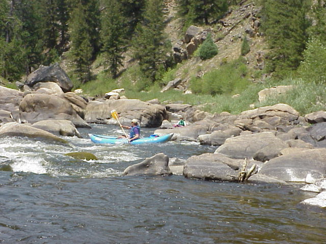
North Platte River
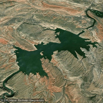
Alcova Reservoir
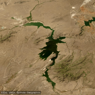
Pathfinder Reservoir
Bates Creek Reservoir
Bolton Creek
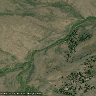
West Fork Deer Creek
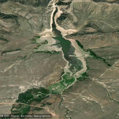
La Prele Reservoir
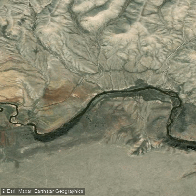
Sweetwater River
Explore Wyoming waters
Top paddling waters
Popular Cities
Loading popular cities...
Explore near Seminoe Reservoir
Access points
- Seminoe Reservoir North Boat Ramp
- Seminoe Reservoir South Boat Ramp
- Miracle Mile Bridge
- Seminoe State Park Campground
- Seminoe State Park Campground
- Seminoe State Park Campground
- Seminoe State Park Campground
- Seminoe State Park Campground
- Seminoe State Park Campground
- Seminoe Canyon Primitive Campground
- Seminoe Canyon Primitive Campground
- Miracle Mile Campground
- All 16 spots
Nearby waters
More in Wyoming

Smarter Paddling Starts in the App.
Paddleways gives you everything you need to plan smarter, paddle better, and own every trip from first launch to takeout.