North Platte River
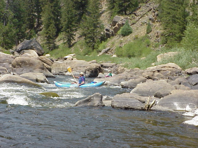
North Platte River
- Boat Ramps
- 38
- Access Points
- 86
- Campsites
- 120
The North Platte River is a major waterway that flows through Colorado, Wyoming, and Nebraska, offering a diverse range of paddling experiences across its 716-mile course. From its headwaters in Colorado's Park Range, the river winds through spectacular canyons, expansive valleys, and rolling plains, providing opportunities for both thrilling whitewater adventures and serene flatwater floats.
In Wyoming, the river showcases some of its most dramatic scenery and challenging rapids. Northgate Canyon, straddling the Colorado-Wyoming border, is a premier whitewater run featuring Class III+ rapids like Windy Hole and Narrow Falls. This 10-mile stretch through pristine wilderness demands solid paddling skills and is best attempted by experienced boaters or with professional guides.
As the river continues north, it transitions into more moderate terrain, offering excellent opportunities for multi-day trips. The section from Bennett Peak to Saratoga is particularly popular, featuring a mix of gentle rapids and calm stretches perfect for canoes, kayaks, and rafts. Treasure Island, located along this stretch, provides a scenic spot for a mid-float lunch break.
Further downstream, the Miracle Mile section between Kortes Dam and Pathfinder Reservoir is renowned for its world-class trout fishing. While this 7-mile stretch is relatively calm for paddling, anglers flock here for the chance to land trophy-sized rainbow and brown trout.
For adrenaline seekers, Fremont Canyon offers a return to technical whitewater. This 4-mile section between Pathfinder Dam and Alcova Reservoir features Class IV-V rapids cutting through a dramatic 500-foot deep gorge. It's considered the most challenging stretch of the North Platte and should only be attempted by expert paddlers.
Near Casper, the river takes on a more urban character with the addition of the Casper Whitewater Park. This engineered park provides a range of features suitable for beginner to intermediate paddlers, making it an excellent spot for skill-building or a quick after-work session.
The best time to paddle the North Platte varies by section, but generally, late spring to early summer offers optimal water levels for most runs. However, water releases from dams can extend the paddling season on some sections well into fall. It's crucial to check current flow rates and weather conditions before any trip.
Wildlife enthusiasts will appreciate the diverse ecosystems along the river. Bighorn sheep can be spotted in the canyon sections, while deer, eagles, and a variety of waterfowl are common sights throughout. The river corridor also provides critical habitat for many species, making it a haven for birdwatchers and nature photographers.
Several towns along the river serve as key access points and resupply stops. Saratoga, Wyoming, is a popular base for multi-day trips, offering amenities and shuttle services. Casper provides urban conveniences and is the gateway to both upstream and downstream adventures.
Safety is paramount on the North Platte. Paddlers should be aware of rapidly changing weather conditions, especially in canyon sections where storms can cause flash flooding. Cold water temperatures, even in summer, necessitate proper gear and preparation. Some sections, like the Platte River Wilderness, have specific regulations, including the prohibition of motorized watercraft.
For those seeking an extended adventure, a multi-day trip from the Colorado border to Saratoga offers a comprehensive North Platte experience. This journey combines challenging whitewater, serene floats, and excellent fishing opportunities, showcasing the river's diverse character.
The North Platte River is not just a recreational resource; it's a lifeline for the region, playing a crucial role in irrigation, power generation, and wildlife conservation. Its waters have shaped the landscape and history of the American West, from Native American settlements to pioneer trails. Today, it continues to be a vital part of the region's ecology, economy, and outdoor heritage, offering endless opportunities for exploration and adventure.
Water access, boat ramps & amenities
Learn how to get on North Platte River. Uncover great paddling access points, boat ramps, and all the facilities you need for an unforgettable day on the water. Some locations shown may border or include private property. Always check property boundaries and applicable regulations before visiting. PaddleWays's Public & Private Land layer can help you plan your access with confidence.
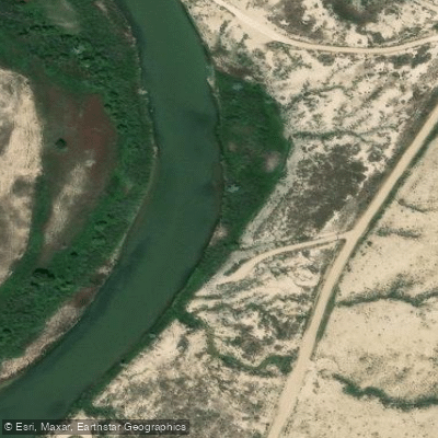
Bolton Creek access
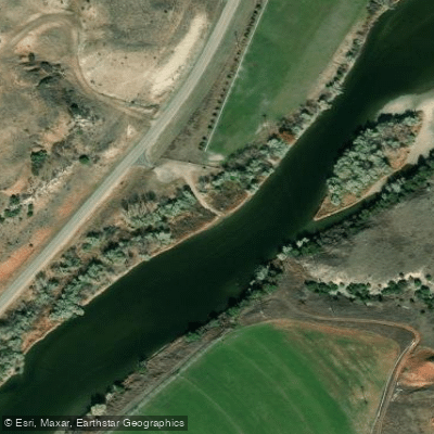
North Platte River Douglas Access
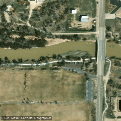
Access
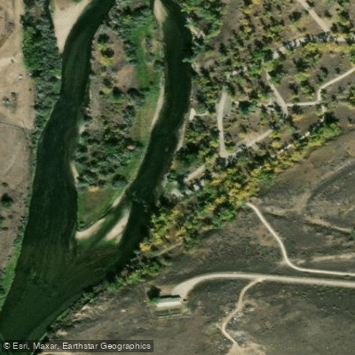
North Platte River Access
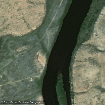
Rochelle Public Access Area
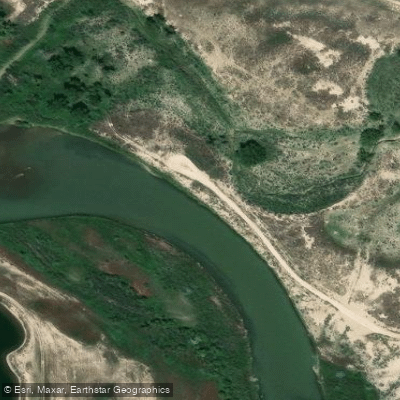
Bolton Creek access
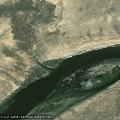
N. Platte Access
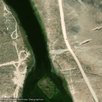
BLM Access Area
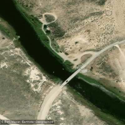
Miracle Mile Bridge Access Area
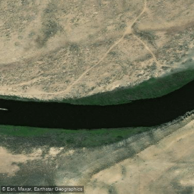
North Platte River Access
Paddle smarter with real-time insights
Whether you're en route and conditions shift or you're looking for the best spot based on current flows, we enable you to make informed decisions on the fly.








Find Places to Paddle

Over 400,000 Places to Paddle
Every user gets free access to launch points, boat ramps, and public property parcels.


Water and weather conditions (10 day forecast)
See the best times to paddle North Platte River and check the forecast before you go.
North Platte passing Tri-State Canal
All Flow Stations
Paddling near North Platte River
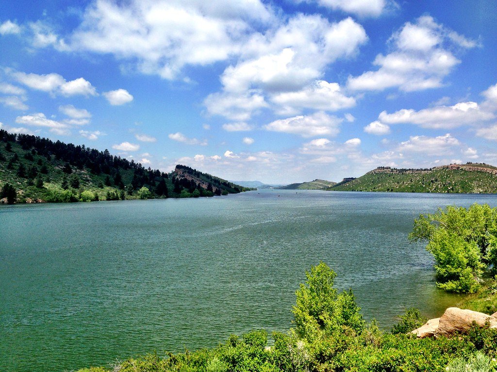
Horsetooth Reservoir
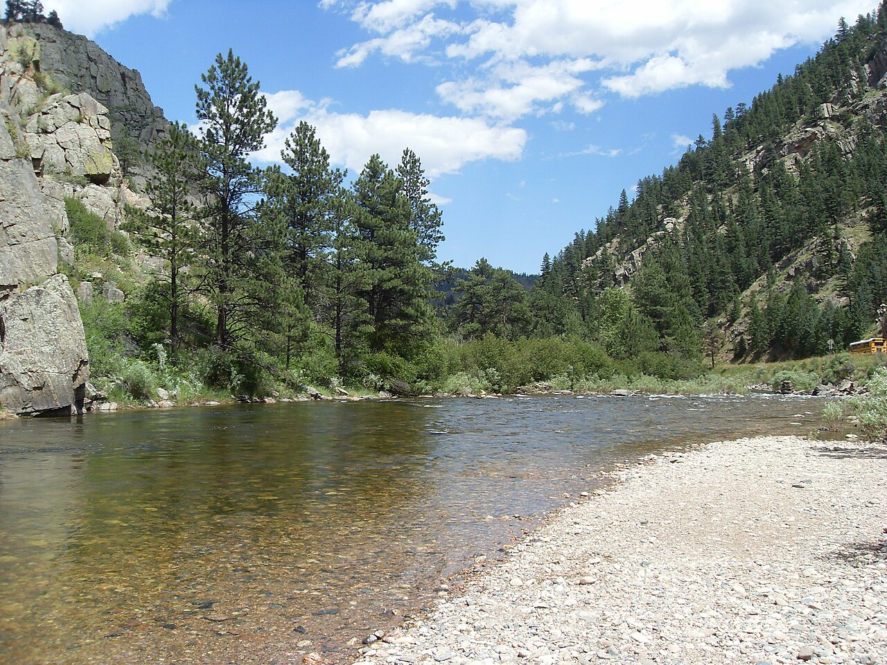
Cache la Poudre River
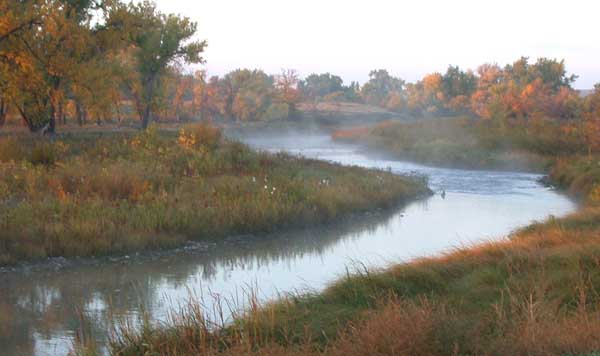
Laramie River
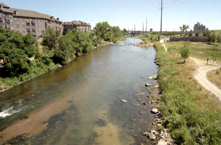
South Platte River
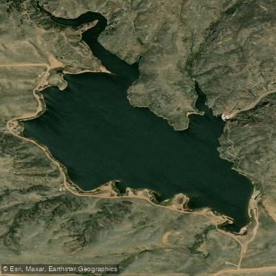
Crystal Lake Reservoir
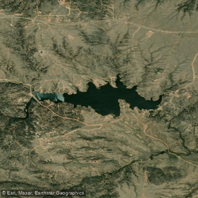
Granite Springs Reservoir

Douglass Lake
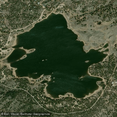
Dowdy Lake
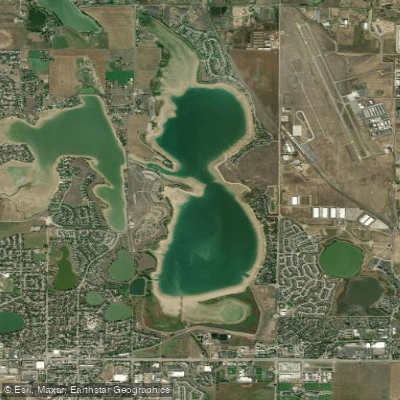
Boyd Lake
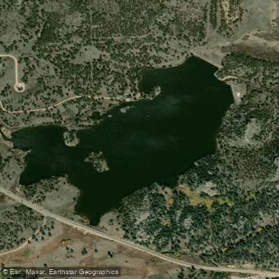
Parvin Lake
Explore Wyoming waters
Top paddling waters
Popular Cities
Loading popular cities...
Explore near North Platte River
Access points
Nearby waters
More in Wyoming

Smarter Paddling Starts in the App.
Paddleways gives you everything you need to plan smarter, paddle better, and own every trip from first launch to takeout.