Flaming Gorge Reservoir
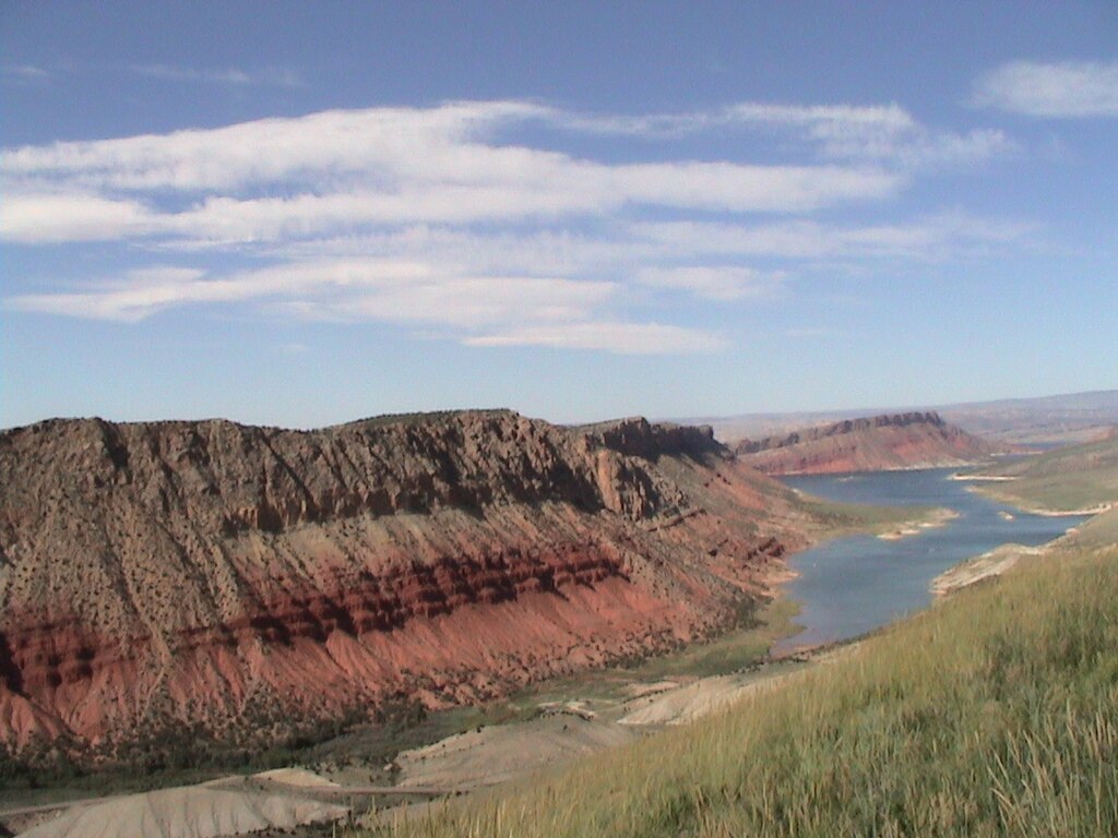
Flaming Gorge Reservoir
- Boat Ramps
- 9
- Access Points
- 9
- Campsites
- 14
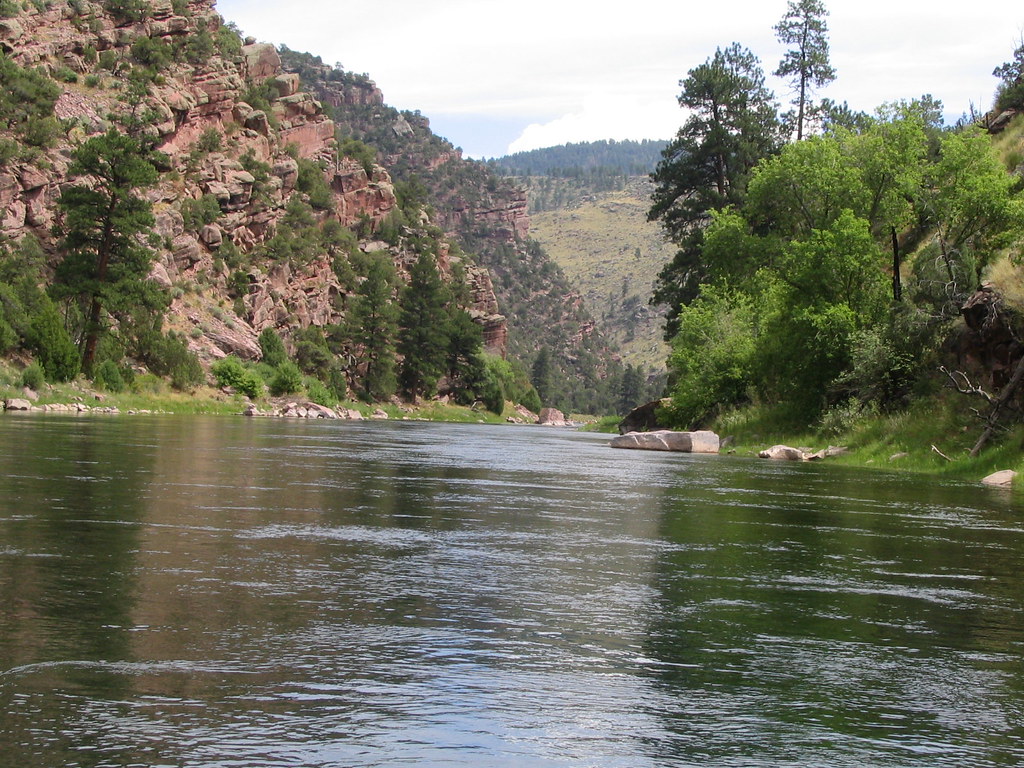
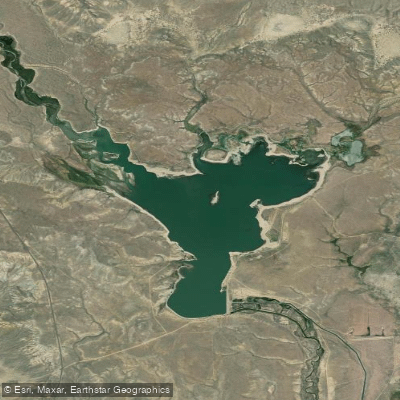
Flaming Gorge Reservoir is a 91-mile long lake straddling Utah and Wyoming, offering paddlers over 360 miles of shoreline to explore. The reservoir's deep blue waters are surrounded by towering red sandstone cliffs, creating a striking visual contrast. Multiple developed and primitive launch points provide access, including Cedar Springs Marina, Mustang Ridge Boat Ramp, and Sheep Creek Boat Launch.
Popular paddling routes include the 6-mile Kingfisher Island Loop, which circles a former promontory and offers chances to spot bighorn sheep. The 4-mile Dutch John Draw explores quiet side canyons and includes Sunny Cove Beach for swimming. Cart Creek Canyon takes paddlers under an arched suspension bridge into a wake-free zone with good fishing opportunities.
While not required, personal flotation devices must be carried on board. The Flaming Gorge Recreation Area requires a use pass, available at visitor centers and some launches. Hourly kayak and paddleboard rentals are offered at marinas and lodges around the lake.
Wildlife viewing opportunities include bighorn sheep, bald eagles, and various trout species. The reservoir is known for its trophy lake trout fishing. Late afternoon paddling showcases the sun glinting off the crimson canyon walls, demonstrating how the area got its name.
The lake's numerous inlets and quiet coves allow for both day trips and multi-day excursions with primitive shoreline camping. While suitable for beginners in calm conditions, paddlers should be aware that high winds can create large waves in some areas of this expansive reservoir.
Water access, boat ramps & amenities
Learn how to get on Flaming Gorge Reservoir. Uncover great paddling access points, boat ramps, and all the facilities you need for an unforgettable day on the water. Some locations shown may border or include private property. Always check property boundaries and applicable regulations before visiting. PaddleWays's Public & Private Land layer can help you plan your access with confidence.
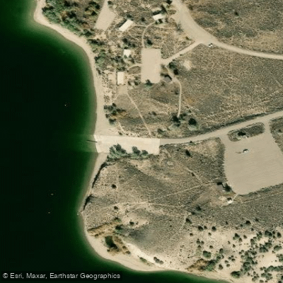
Antelope Flat Boat Ramp
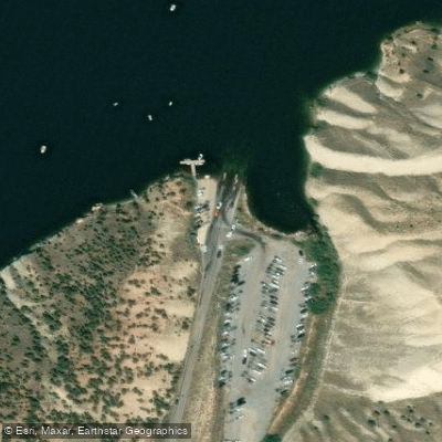
Sheep Creek Bay Boat Ramp
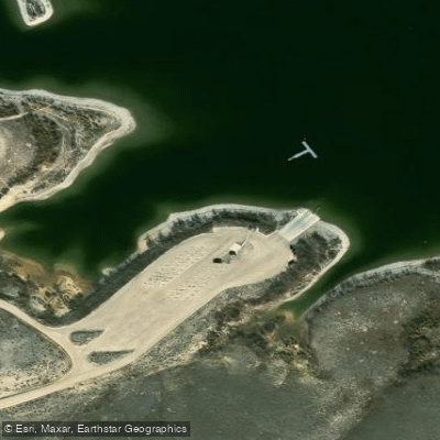
Anvil Draw Boat Ramp
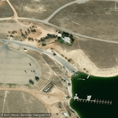
Lucerne Valley Boat Ramp
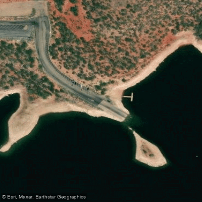
Dutch John Marina Boat Ramp
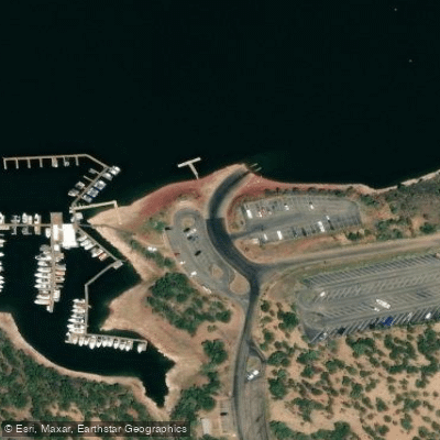
Cedar Springs Marina Boat Ramp
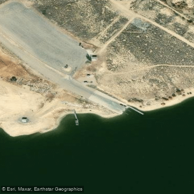
Flaming Gorge Reservoir Boat Ramp
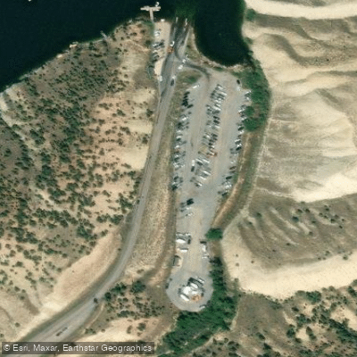
Sheep Creek Bay Boat Ramp
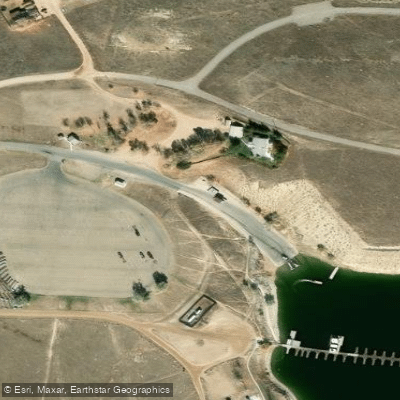
Lucerne Valley Boat Ramp
Paddle smarter with real-time insights
Whether you're en route and conditions shift or you're looking for the best spot based on current flows, we enable you to make informed decisions on the fly.








Find Places to Paddle

Over 400,000 Places to Paddle
Every user gets free access to launch points, boat ramps, and public property parcels.


Water and weather conditions (10 day forecast)
See the best times to paddle Flaming Gorge Reservoir and check the forecast before you go.
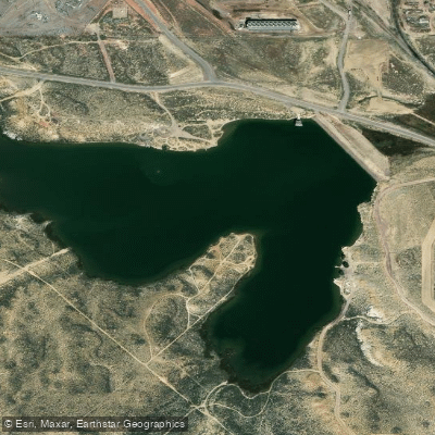
Flaming Gorge Reservoir Dam and Powerplant
Explore Wyoming waters
Top paddling waters
Popular Cities
Loading popular cities...
Explore near Flaming Gorge Reservoir
Access points
- Antelope Flat Boat Ramp
- Sheep Creek Bay Boat Ramp
- Anvil Draw Boat Ramp
- Lucerne Valley Boat Ramp
- Dutch John Marina Boat Ramp
- Cedar Springs Marina Boat Ramp
- Flaming Gorge Reservoir Boat Ramp
- Sheep Creek Bay Boat Ramp
- Lucerne Valley Boat Ramp
- Jarvies Boat In Group Campground
- Stateline Campground
- Dutch John Draw Campground
- All 23 spots
More in Wyoming

Smarter Paddling Starts in the App.
Paddleways gives you everything you need to plan smarter, paddle better, and own every trip from first launch to takeout.