Pathfinder Reservoir
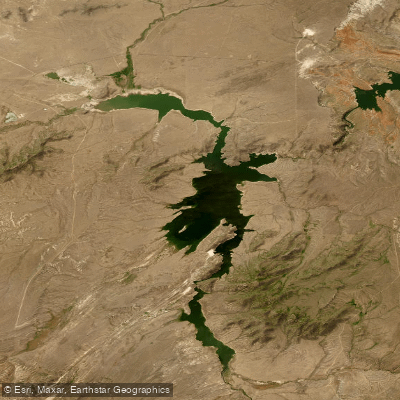
Pathfinder Reservoir
- Boat Ramps
- 1
- Access Points
- 1
- Campsites
- 6
Pathfinder Reservoir in Wyoming offers diverse paddling opportunities on its expansive waters. With over 117 miles of shoreline, the reservoir provides ample space for exploration. Paddlers can access the water via three boat ramps around the lake. The reservoir is known for its multi-species fishing, including trout, kokanee salmon, and walleye.
Safety considerations include being mindful of the dam and maintaining a safe distance, which may vary depending on water levels. Wind can pick up quickly on the open water, so paddlers should be prepared for changing conditions. The reservoir's water can be frigid, especially in spring, with temperatures as low as 47°F in late May.
Notable sights include the historic Pathfinder Dam, listed on the National Register of Historic Places. An interpretive center in the dam tender's house provides historical context. The reservoir is surrounded by scenic granite canyons and the Pedro Mountains, offering stunning views.
For wildlife enthusiasts, parts of the reservoir are included in the Pathfinder National Wildlife Refuge. Paddlers may spot various bird species, including white pelicans. The best times for paddling are typically late spring through early fall, avoiding the winter months when ice may be present.
Facilities for paddlers include three campgrounds around the reservoir. A small interpretive center and a 1.7-mile interpretive trail are located near the dam, accessible via a historic suspension bridge. Paddlers should be aware that the reservoir's water level can fluctuate significantly due to its role in water storage and irrigation.
The reservoir's character is defined by its vast open waters, surrounded by rugged Wyoming landscape. Its location, about 47 miles southwest of Casper, makes it a less crowded alternative to more popular paddling destinations in the state.
Water access, boat ramps & amenities
Learn how to get on Pathfinder Reservoir. Uncover great paddling access points, boat ramps, and all the facilities you need for an unforgettable day on the water. Some locations shown may border or include private property. Always check property boundaries and applicable regulations before visiting. PaddleWays's Public & Private Land layer can help you plan your access with confidence.
Moore Road Boat Ramp
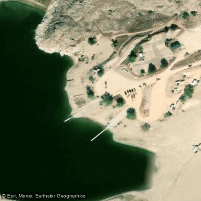
Pathfinder Reservoir Boat Ramp
Paddle smarter with real-time insights
Whether you're en route and conditions shift or you're looking for the best spot based on current flows, we enable you to make informed decisions on the fly.








Find Places to Paddle

Over 400,000 Places to Paddle
Every user gets free access to launch points, boat ramps, and public property parcels.


Water and weather conditions (10 day forecast)
See the best times to paddle Pathfinder Reservoir and check the forecast before you go.
Pathfinder Reservoir and Dam
Paddling near Pathfinder Reservoir
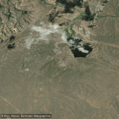
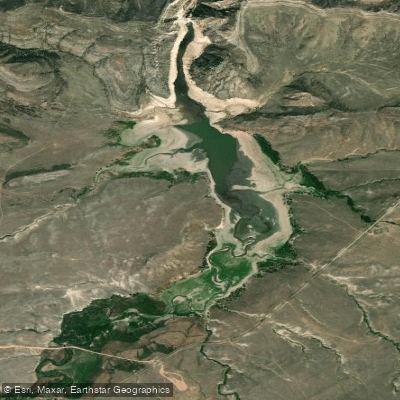
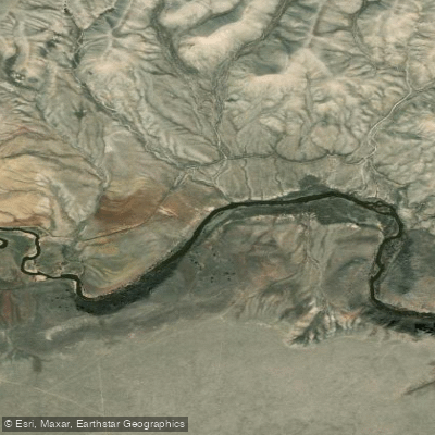
Explore Wyoming waters
Top paddling waters
Popular Cities
Loading popular cities...
Explore near Pathfinder Reservoir
Access points
- Pathfinder Reservoir Boat Ramp
- Miracle Mile Bridge
- Freemont Canyon Road Bridge
- Miracle Mile Campgrounds
- Miracle Mile Campground
- Miracle Mile Campground
- Miracle Mile Campgrounds
- Seminoe Canyon Primitive Campground
- Seminoe Canyon Primitive Campground
- North Platte River Parking
- Parking
- Boat Ramp Parking
- All 15 spots
Nearby waters
More in Wyoming

Smarter Paddling Starts in the App.
Paddleways gives you everything you need to plan smarter, paddle better, and own every trip from first launch to takeout.