Río Azul
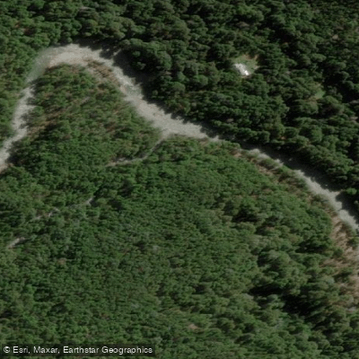
Río Azul
- Boat Ramps
- 0
- Access Points
- 0
- Campsites
- 19
The Río Azul originates at the Glaciar Hielo Azul on the slopes of Cerro Hielo Azul in the Cordillera de los Andes at approximately 2,260 meters above sea level. It flows through the Comarca Andina near El Bolsón in the province of Río Negro, eventually emptying into Lago Puelo. The river is relatively short and drains toward the Pacific Ocean watershed. One of its most striking geographical features is El Cajón del Río Azul, a canyon measuring roughly one meter wide and forty meters deep, surrounded by native forest and considered a landmark of international renown.
The water is exceptionally clear, with a distinctive turquoise color derived from glacial meltwater. Visibility is high enough to see the riverbed in deep sections, and trout are occasionally visible through the water column. The river passes through forested valleys with Andean mountain scenery throughout its course.
The primary paddling section near El Bolsón is approximately 6 kilometers long and rated Class II to Class II+. Time on the water typically ranges from one to two hours depending on water levels. The moderate gradient and clear water make this stretch suitable for rafting and kayaking. At roughly the midpoint of the commercial rafting run, calmer deep sections allow for swimming and snorkeling when water levels permit.
Commercial rafting operations run daily departures at 2:00 pm from November through February, with a minimum age of five years. Reservations are required. The river and surrounding protected area fall within the Área Protegida Río Azul y Lago Escondido and the Reserva de Biosfera Andino Norpatagónica.
The broader area is accessible year-round, though the refuge within the protected area is open approximately from November to April. Outside that window, cold temperatures, rain, and snow are realistic considerations. Wildlife along the river includes the pato de los torrentes, Martín pescador grande, garza bruja, bandurria austral, and carpintero gigante, among other species. The combination of glacial water clarity, canyon geography, and Andean forest makes this a visually distinctive paddling corridor in northern Patagonia.
Water access, boat ramps & amenities
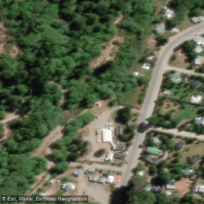
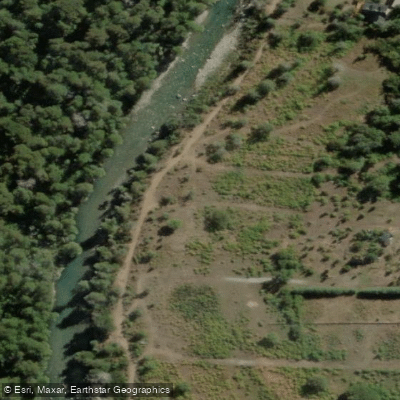
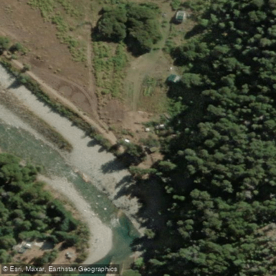
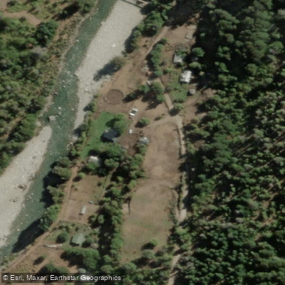
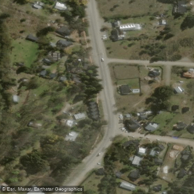
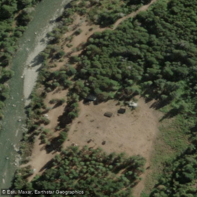
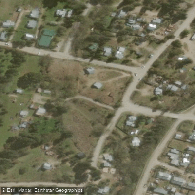
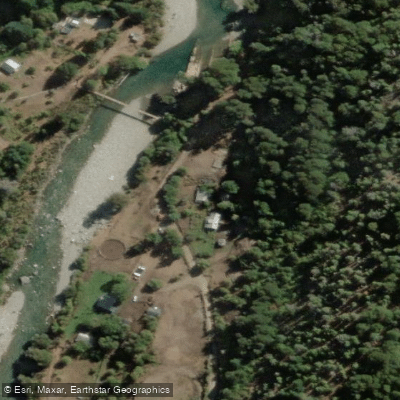
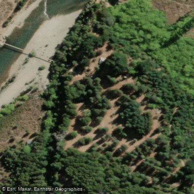
Learn how to get on Río Azul. Uncover great paddling access points, boat ramps, and all the facilities you need for an unforgettable day on the water. Some locations shown may border or include private property. Always check property boundaries and applicable regulations before visiting. PaddleWays's Public & Private Land layer can help you plan your access with confidence.
Paddle smarter with real-time insights
Whether you're en route and conditions shift or you're looking for the best spot based on current flows, we enable you to make informed decisions on the fly.







Chubut licenses and regulations

Find Places to Paddle

Over 400,000 Places to Paddle
Every user gets free access to launch points, boat ramps, and public property parcels.


Water and weather conditions (10 day forecast)
See the best times to paddle Río Azul and check the forecast before you go.
Azul - El Azul
All Flow Stations
Paddling near Río Azul
Río Epuyen
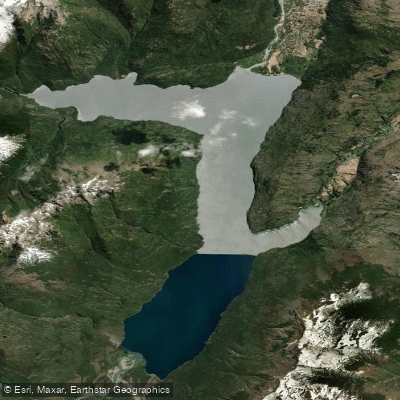
Lago Puelo
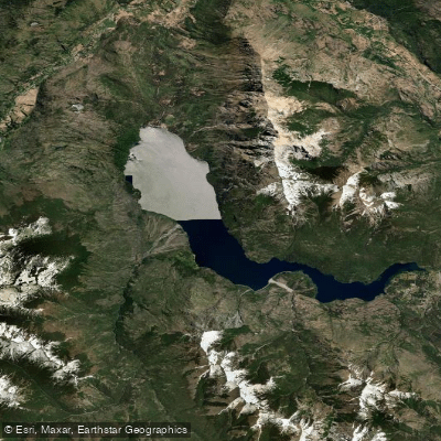
Lago Epuyén
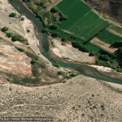
Río Chubut
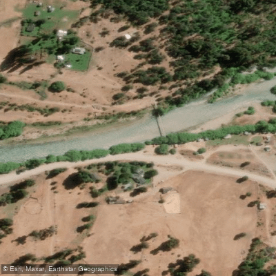
Río Manso
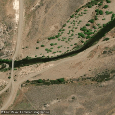
Río Pichi Leufú
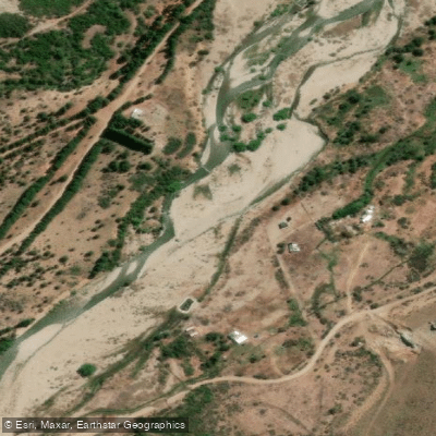
Río Ñirihuau
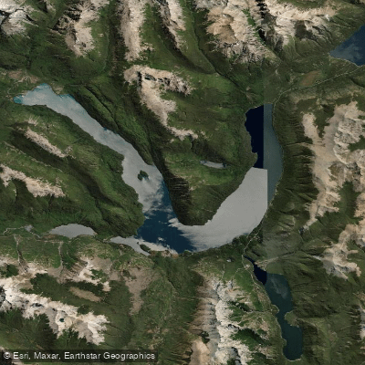
Lago Mascardi
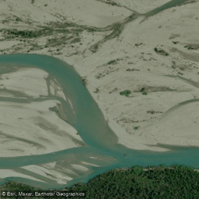
Río Turbio
Explore Chubut waters
Top paddling waters
No waters available right now.
Popular Cities
Loading popular cities...
Explore near Río Azul
Access points
Nearby waters
More in Chubut

Smarter Paddling Starts in the App.
Paddleways gives you everything you need to plan smarter, paddle better, and own every trip from first launch to takeout.