Río Grande o Futaleufú
Río Grande o Futaleufú
- Boat Ramps
- 2
- Access Points
- 0
- Campsites
- 0
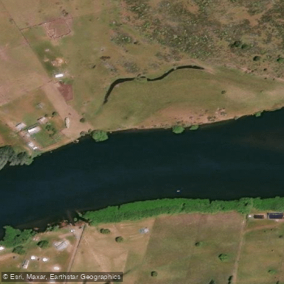
The Río Grande o Futaleufú in Chubut, Argentina is a large tailwater river fed by the Futaleufú Dam and Amutui Quimey Reservoir, drawing its flow from a chain of lakes within the Los Alerces National Park system. Both names — Futaleufú (from the indigenous Mapuche language) and Río Grande (Spanish) — translate to "big river," a fitting description for this substantial waterway. From its source in the Argentine section, the river travels approximately 35 kilometres before crossing into Chile, where it enters Palena Province.
On the Argentine side, the river is characterized as a productive tailwater with cold, fertile water and a large, open character. It has been compared in scale and consistency to the Missouri River in Montana. The regulated flow from the dam makes it one of the more consistent fisheries in the region throughout the season. Float trips by drift boat are a common way to experience this stretch of river, and the surrounding landscape of the Southern Andes provides a dramatic backdrop.
It is worth noting that the high-gradient whitewater for which the Futaleufú is internationally known — including Class IV and Class V rapids — is located on the Chilean side of the border, not on the Argentine section described here. Paddlers seeking technical whitewater should be aware of this distinction. The Argentine reach is a large-volume river suited to float-style paddling rather than technical whitewater. Fly fishing, including catch-and-release, is a primary use of this stretch, and paddlers should expect to share the water with anglers, particularly during the fishing season.
Water access, boat ramps & amenities
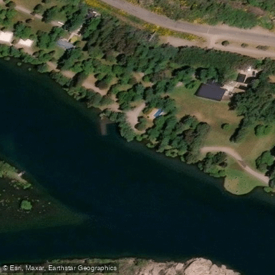
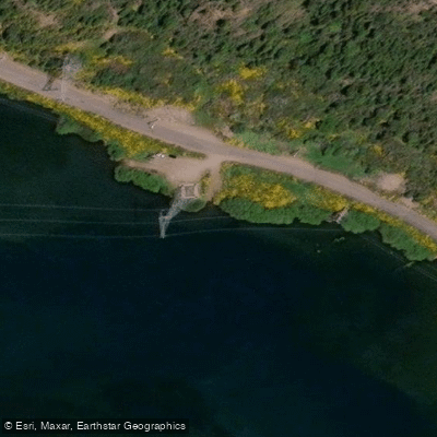
Learn how to get on Río Grande o Futaleufú. Uncover great paddling access points, boat ramps, and all the facilities you need for an unforgettable day on the water. Some locations shown may border or include private property. Always check property boundaries and applicable regulations before visiting. PaddleWays's Public & Private Land layer can help you plan your access with confidence.
Paddle smarter with real-time insights
Whether you're en route and conditions shift or you're looking for the best spot based on current flows, we enable you to make informed decisions on the fly.







Chubut licenses and regulations

Find Places to Paddle

Over 400,000 Places to Paddle
Every user gets free access to launch points, boat ramps, and public property parcels.


Water and weather conditions (10 day forecast)
See the best times to paddle Río Grande o Futaleufú and check the forecast before you go.
Rio Futaleufu En La Frontera
Paddling near Río Grande o Futaleufú
Lago Futalaufquen
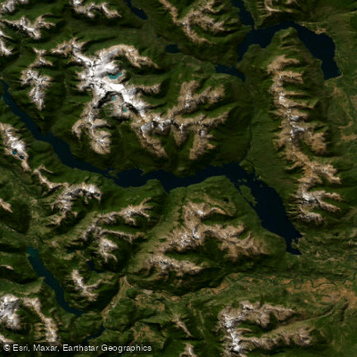
Embalse Amutui Quimei
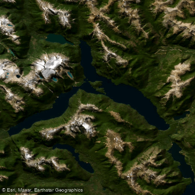
Lago Menéndez
Lago Rosario
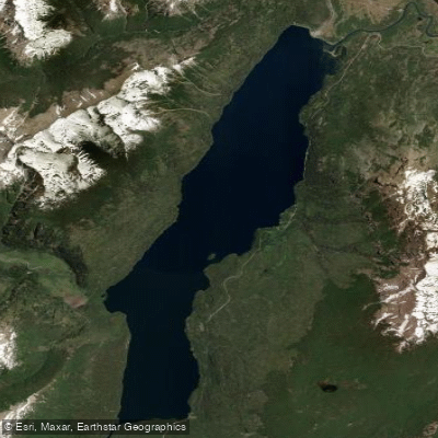
Lago Rivadavia
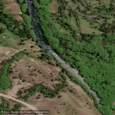
Río Carrenleufú o Corcovado
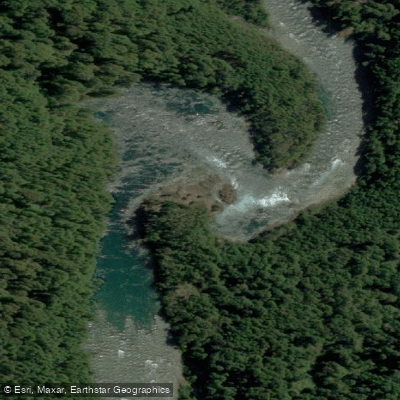
Río Frey
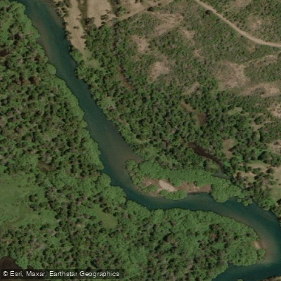
Río Carrilleufú
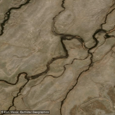
Río Tecka
Explore Chubut waters
Top paddling waters
No waters available right now.
Popular Cities
Loading popular cities...
Explore near Río Grande o Futaleufú

Smarter Paddling Starts in the App.
Paddleways gives you everything you need to plan smarter, paddle better, and own every trip from first launch to takeout.