Río Carrenleufú o Corcovado
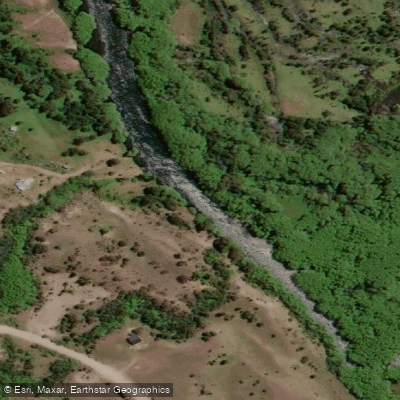
Río Carrenleufú o Corcovado
- Boat Ramps
- 0
- Access Points
- 0
- Campsites
- 2
The Río Carrenleufú, also known as the Río Corcovado, originates at the eastern end of Lago Vintter in the Andes of Chubut province and flows westward, crossing into Chile before eventually reaching the Pacific Ocean. In its Argentine stretch, the river runs through the Futaleufú Department between the towns of Corcovado and Carrenleufú, approximately 90 km south of Esquel and 65 km from Trevelin. The lower basin, from Corcovado to the border community of Carrenleufú, passes through an area of higher rainfall where the river has carved encased valleys into rock, producing a succession of rapids, backwaters, and waterfalls well suited to whitewater paddling.
The river offers rapids ranging from Class II to Class IV depending on water volume. The upper portion of the commonly run section begins with a more relaxed character before building into more demanding whitewater. Two main commercial routes are run here: a 13–15 km classic descent lasting approximately two hours, and a longer 22 km excursion from a put-in on the Río Hielo, roughly 10 km from town, running to the Carrenleufú footbridge and taking around four hours with an intermediate stop. The longer route carries a higher difficulty rating and is recommended for those over 12 years of age seeking more demanding conditions.
The best season for paddling is November through March, the Southern Hemisphere summer, when snowmelt increases flow and intensifies the rapids. Operators also offer full-moon night descents on the classic 13 km section, using helmets with headlamps and fluorescent vests. Required safety equipment includes a life preserver, neoprene wetsuit, waterproof jacket, neoprene boots, and helmet, all of which commercial operators provide. Support craft accompany descents throughout.
The river runs through a landscape of Andean cordillera topography with rocky, snow-capped peaks and evergreen vegetation including mountain cypresses and maitenes. The water is turquoise and transparent. Wildlife visible along the river includes buff-necked ibis, great bustards, ducks, and neotropical cormorants. The river also supports Pacific salmon (Chinook) and both rainbow and brown trout, making it a notable sport fishing destination alongside its whitewater use.
Access to Corcovado is by land via Provincial Route 44 and Provincial Route 17, with bus connections from Esquel and Trevelin. Rafting operations depart from the Sol y Luna Camping at the entrance to the town of Corcovado.
Water access, boat ramps & amenities
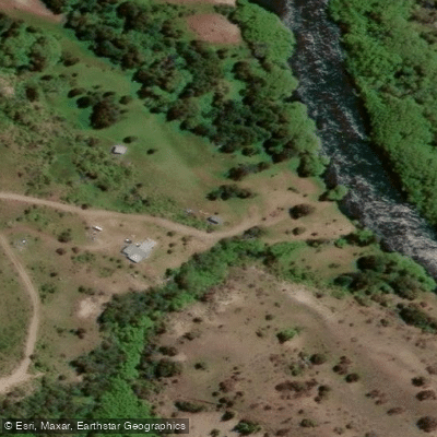
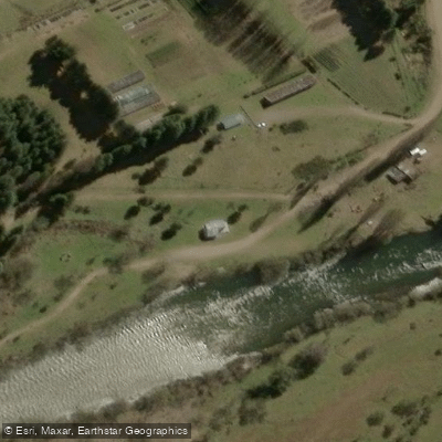
Learn how to get on Río Carrenleufú o Corcovado. Uncover great paddling access points, boat ramps, and all the facilities you need for an unforgettable day on the water. Some locations shown may border or include private property. Always check property boundaries and applicable regulations before visiting. PaddleWays's Public & Private Land layer can help you plan your access with confidence.
Paddle smarter with real-time insights
Whether you're en route and conditions shift or you're looking for the best spot based on current flows, we enable you to make informed decisions on the fly.







Chubut licenses and regulations

Find Places to Paddle

Over 400,000 Places to Paddle
Every user gets free access to launch points, boat ramps, and public property parcels.


Water and weather conditions (10 day forecast)
See the best times to paddle Río Carrenleufú o Corcovado and check the forecast before you go.
Carrenleufú - Poncho Moro
All Flow Stations
Paddling near Río Carrenleufú o Corcovado
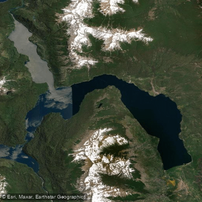
Lago Futalaufquen
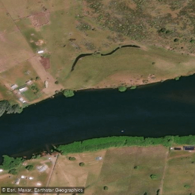
Río Grande o Futaleufú
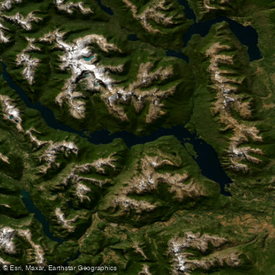
Embalse Amutui Quimei
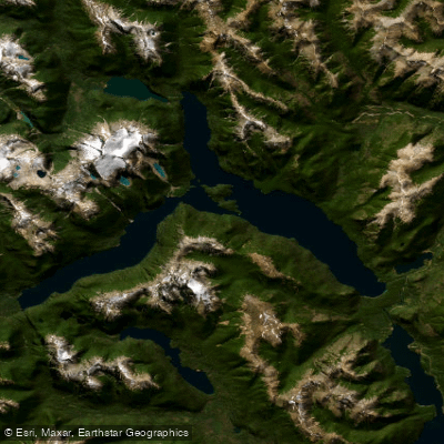
Lago Menéndez
Lago Rosario
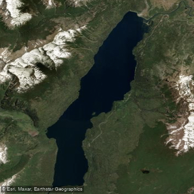
Lago Rivadavia
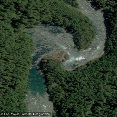
Río Frey
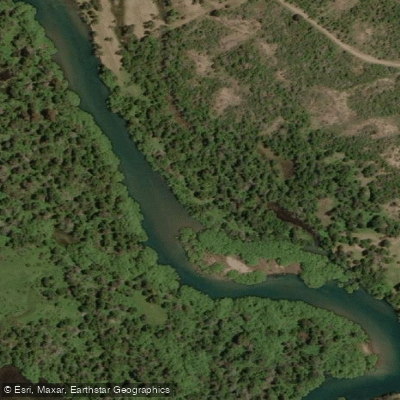
Río Carrilleufú
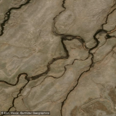
Río Tecka
Explore Chubut waters
Top paddling waters
No waters available right now.
Popular Cities
Loading popular cities...
Explore near Río Carrenleufú o Corcovado

Smarter Paddling Starts in the App.
Paddleways gives you everything you need to plan smarter, paddle better, and own every trip from first launch to takeout.