Río Carrilleufú
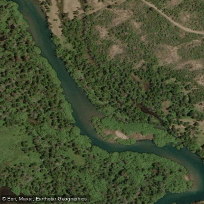
Río Carrilleufú
- Boat Ramps
- 0
- Access Points
- 0
- Campsites
- 2
The Río Carrilleufú flows through the Chubut province of Argentine Patagonia, connecting the eastern end of Lago Cholila to the northern end of Lago Rivadavia. The river is notably clear — widely regarded as among the clearest waterways in all of Patagonia — and is not particularly wide or large in scale. Its character makes it better suited to floating by boat or kayak than to wading.
A guided kayak excursion offered by local operators covers the full length of the river, launching at the headwaters on the eastern end of Lago Cholila and finishing at the river's mouth at the northern end of Lago Rivadavia. This route takes approximately six hours and is rated medium difficulty. Departures are typically in the morning, with a midday break on a broad sandy beach along the route. A minimum of four paddlers is generally required for organized trips.
The fishing season runs from November through May, which also represents the primary window for paddling activity on the river. The river is well known for rainbow, brown, and brook trout, and catch-and-release regulations apply across most sections. A valid fishing permit is required and can be obtained at local tourism offices and authorized agencies.
The river passes through a rich ecosystem that supports a variety of birdlife, including kingfishers, bandurrias, great grebes (huala), giant woodpeckers, and Andean condors in the higher surrounding terrain. The surrounding landscape is characteristic of Andean Patagonia, with the river accessible within a short drive from lodges in the area.
Facilities for paddlers are primarily provided through guided tour operators based in the Cholila area, who supply kayaks and basic paddling equipment. Paddlers planning independent trips should verify current permit requirements and access arrangements locally, as much of the river corridor passes through private or park-managed land.
Water access, boat ramps & amenities
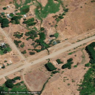
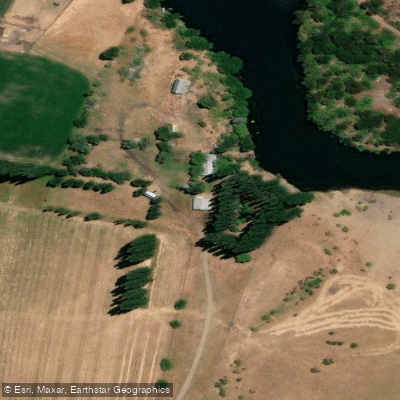
Learn how to get on Río Carrilleufú. Uncover great paddling access points, boat ramps, and all the facilities you need for an unforgettable day on the water. Some locations shown may border or include private property. Always check property boundaries and applicable regulations before visiting. PaddleWays's Public & Private Land layer can help you plan your access with confidence.
Paddle smarter with real-time insights
Whether you're en route and conditions shift or you're looking for the best spot based on current flows, we enable you to make informed decisions on the fly.







Chubut licenses and regulations

Find Places to Paddle

Over 400,000 Places to Paddle
Every user gets free access to launch points, boat ramps, and public property parcels.


Water and weather conditions (10 day forecast)
See the best times to paddle Río Carrilleufú and check the forecast before you go.
Carrileufú - Cholila
Paddling near Río Carrilleufú
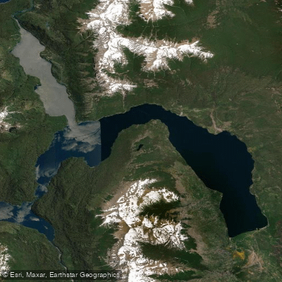
Lago Futalaufquen
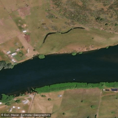
Río Grande o Futaleufú
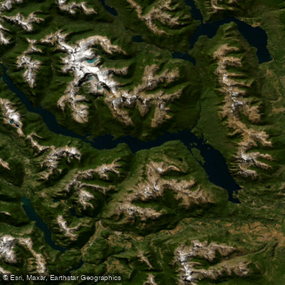
Embalse Amutui Quimei
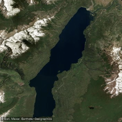
Lago Rivadavia
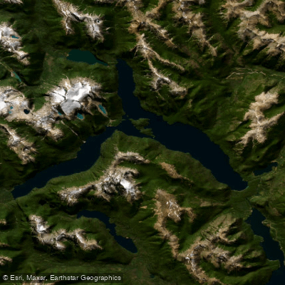
Lago Menéndez
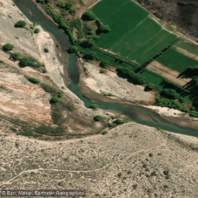
Río Chubut
Arroyo Rodeo
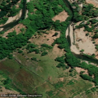
Río Epuyen
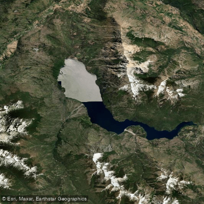
Lago Epuyén
Explore Chubut waters
Top paddling waters
No waters available right now.
Popular Cities
Loading popular cities...
Explore near Río Carrilleufú

Smarter Paddling Starts in the App.
Paddleways gives you everything you need to plan smarter, paddle better, and own every trip from first launch to takeout.