Río Alerzal o Esperanza
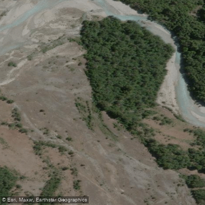
Río Alerzal o Esperanza
- Boat Ramps
- 0
- Access Points
- 0
- Campsites
- 0
The Río Alerzal, also known as the Río Esperanza, is a steep mountain river in the western Chubut Province of Argentine Patagonia, draining eastward from Laguna Esperanza through rugged Andean terrain before joining the Río Turbio on its left bank, just upstream of where the Turbio opens into Lago Puelo. The river runs approximately 13 kilometers and descends around 230 meters over that distance, a gradient that produces numerous rapids throughout its course.
The river originates from the meltwater of Glaciar Esperanza Norte, the longest glacier in Chubut Province, and the upper valley sits within the Río Turbio Multiple Use Provincial Park and Reserve. Laguna Esperanza, the source lake, lies at an elevation of 496 meters and is of glacial origin, surrounded by dense Andean Patagonian forest dominated by Nothofagus species. The valley is characterized by glacial moraines, outwash terraces, and forested slopes, with peaks reaching above 2,400 meters at the Cordón de las Agujas. Annual precipitation in the Andean foothills of this region typically ranges from 1,000 to 2,000 mm, driven by Southern Hemisphere westerly winds, with water inputs coming from rainfall, snowmelt, and glacial melt.
The consistent gradient and the presence of many rapids along the full length of the river indicate a technically demanding watercourse. The remote location within a protected reserve, the dense surrounding forest, and the glacially fed hydrology are defining characteristics of the paddling environment. Access to Laguna Esperanza requires a long approach on foot. The only designated camping area in the vicinity of the lake is on its western shore, near a private estancia.
Water access, boat ramps & amenities
Learn how to get on Río Alerzal o Esperanza. Uncover great paddling access points, boat ramps, and all the facilities you need for an unforgettable day on the water. Some locations shown may border or include private property. Always check property boundaries and applicable regulations before visiting. PaddleWays's Public & Private Land layer can help you plan your access with confidence.
Paddle smarter with real-time insights
Whether you're en route and conditions shift or you're looking for the best spot based on current flows, we enable you to make informed decisions on the fly.







Chubut licenses and regulations

Find Places to Paddle

Over 400,000 Places to Paddle
Every user gets free access to launch points, boat ramps, and public property parcels.


Water and weather conditions (10 day forecast)
See the best times to paddle Río Alerzal o Esperanza and check the forecast before you go.
No forecast data available.
Paddling near Río Alerzal o Esperanza
Río Azul
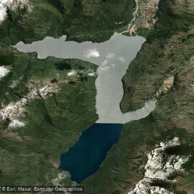
Lago Puelo
Río Epuyen
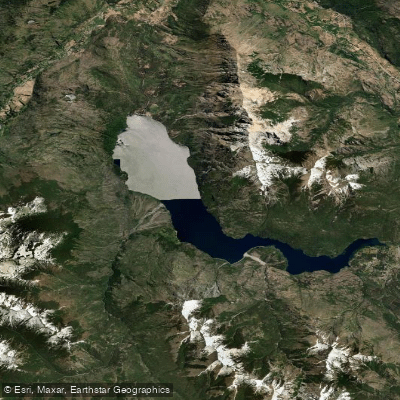
Lago Epuyén
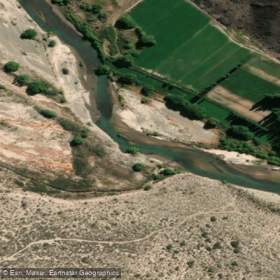
Río Chubut
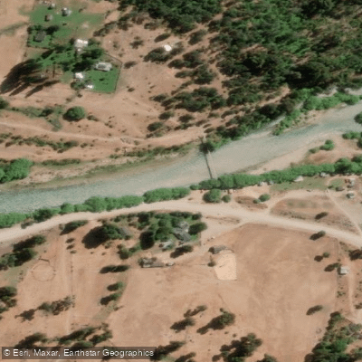
Río Manso
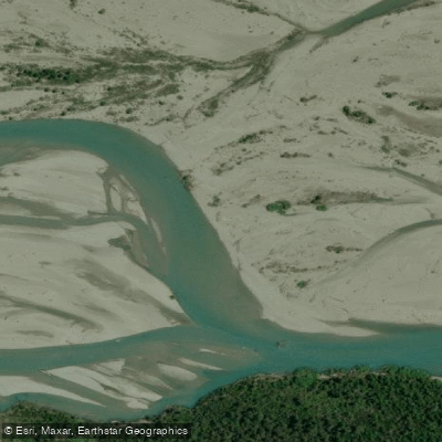
Río Turbio
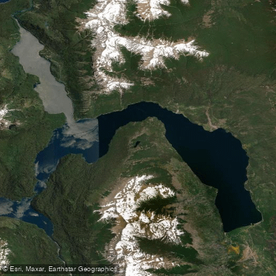
Lago Futalaufquen
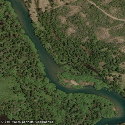
Río Carrilleufú
Explore Chubut waters
Top paddling waters
No waters available right now.
Popular Cities
Loading popular cities...
Explore near Río Alerzal o Esperanza

Smarter Paddling Starts in the App.
Paddleways gives you everything you need to plan smarter, paddle better, and own every trip from first launch to takeout.