Río Turbio
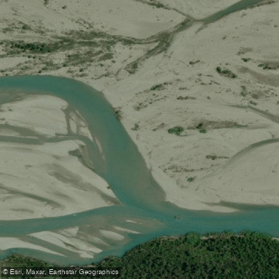
Río Turbio
- Boat Ramps
- 0
- Access Points
- 0
- Campsites
- 0
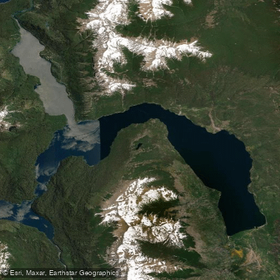
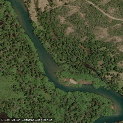
Río Turbio is a glacier-fed river approximately 40 kilometers long, located in Chubut Province in northern Patagonia, Argentina. It originates near the cordón del Pico Alto and flows south to empty into Lago Puelo at an elevation of around 150 meters. The river belongs to the Río Puelo watershed, which ultimately drains westward through Chilean territory into the Pacific Ocean. The river carries a notable load of glacial sediment, particularly toward the end of summer, which gives the water a characteristically opaque turquoise appearance and contributes the same color to Lago Puelo.
The river runs through a broad valley flanked by Yosemite-like granite walls and coihue forests, passing through the Reserva Provincial Río Turbio, which sits between Parque Nacional Lago Puelo and Parque Nacional Los Alerces. The valley contains some of the highest peaks in Chubut Province, including Cerro Tres Picos and Cerro Anexo. The area is within Parque Nacional Lago Puelo, where open fires are prohibited and pets are not permitted. The free campsite at the river mouth has no services, though a park ranger station is located there.
For paddlers, the river rates between Class I and II, making for straightforward rafting or packrafting. Commercial expeditions run the river as the outbound leg of multi-day hike-in, raft-out trips, typically covering the descent in a single day after several days of upstream hiking. No prior rafting experience is required for the river section. The season runs from December to March.
Access to the lower valley begins at El Desemboque, approximately 13 kilometers from the center of El Hoyo via a gravel road in good condition. From there, a marked trail of roughly 12 to 13 kilometers follows the western flank of Cordón Derrumbe northward into the valley, with a hiking time of five to six hours one way. The trail crosses 29 streams along the way. An alternative approach is by kayak from the dock at Lago Puelo, paddling approximately 21 to 25 kilometers across the lake to reach the river mouth. The lake crossing can be challenging due to wind-driven waves, particularly from winds entering through the Río Vuelo corridor.
Water access, boat ramps & amenities
Learn how to get on Río Turbio. Uncover great paddling access points, boat ramps, and all the facilities you need for an unforgettable day on the water. Some locations shown may border or include private property. Always check property boundaries and applicable regulations before visiting. PaddleWays's Public & Private Land layer can help you plan your access with confidence.
Paddle smarter with real-time insights
Whether you're en route and conditions shift or you're looking for the best spot based on current flows, we enable you to make informed decisions on the fly.







Chubut licenses and regulations

Find Places to Paddle

Over 400,000 Places to Paddle
Every user gets free access to launch points, boat ramps, and public property parcels.


Water and weather conditions (10 day forecast)
See the best times to paddle Río Turbio and check the forecast before you go.
No forecast data available.
Paddling near Río Turbio
Río Azul
Lago Puelo
Río Epuyen
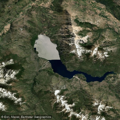
Lago Epuyén
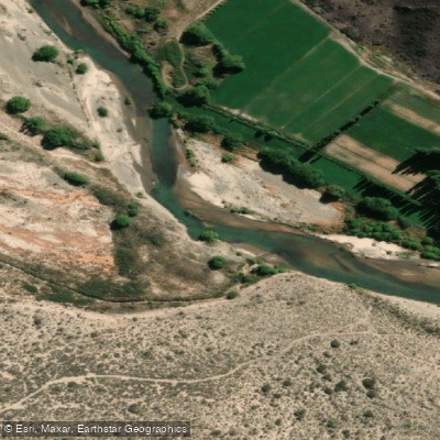
Río Chubut
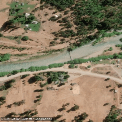
Río Manso
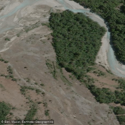
Río Alerzal o Esperanza
Lago Futalaufquen
Río Carrilleufú
Explore Chubut waters
Top paddling waters
No waters available right now.
Popular Cities
Loading popular cities...
Explore near Río Turbio

Smarter Paddling Starts in the App.
Paddleways gives you everything you need to plan smarter, paddle better, and own every trip from first launch to takeout.