Kangaroo Creek
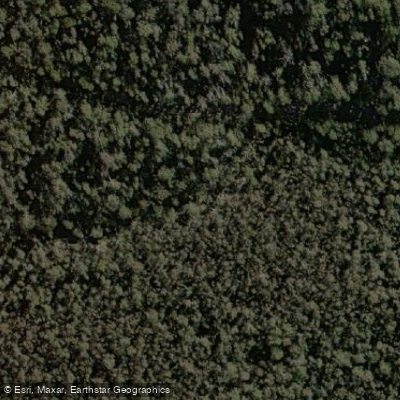
Kangaroo Creek
- Boat Ramps
- 0
- Access Points
- 0
- Campsites
- 0
Kangaroo Creek flows through Sydney's Royal National Park, running from the Waterfall area downstream to Audley, where it meets the Hacking River. The lower section of the creek, accessible from Audley, offers a distinct paddling experience: a 2-kilometre stretch navigable by canoe or kayak, with paddlers typically launching from the Audley Boatshed and returning the same way. The boatshed, located approximately one hour from Sydney, rents canoes, kayaks, and rowboats, making it a practical access point for those without their own equipment.
The lower paddling section passes between sandstone cliffs lined with eucalypts and pockets of rainforest. Wildlife sightings along this stretch can include kingfishers, turtles, lace monitors, and occasionally koalas in the canopy above. Possums, sugar gliders, bats, wallabies, and various parrots and rosellas also inhabit the surrounding area.
The upper reaches of Kangaroo Creek, from Waterfall train station down toward Karloo Pool, are a very different proposition and are not suited to paddling. That section is characterised by rocky terrain, slippery surfaces, disappearing tracks, and significant bush-bashing, and is described as suitable for experienced bushwalkers only. The creek in this upper region features numerous swimming holes and a water temperature noted at approximately 18–19°C during summer visits.
For paddlers, the practical focus is the lower 2-kilometre section from Audley. The Audley Boatshed provides the primary put-in and take-out point, and the nearby Audley Dance Hall Cafe offers a place to stop before or after paddling. Picnic areas are also available in the vicinity. The route is an out-and-back paddle, with no through-route connecting the upper and lower sections by water. Given the out-and-back nature and the relatively short distance, this section suits a half-day outing rather than a full-day trip.
Water access, boat ramps & amenities
Learn how to get on Kangaroo Creek. Uncover great paddling access points, boat ramps, and all the facilities you need for an unforgettable day on the water. Some locations shown may border or include private property. Always check property boundaries and applicable regulations before visiting. PaddleWays's Public & Private Land layer can help you plan your access with confidence.
Paddle smarter with real-time insights
Whether you're en route and conditions shift or you're looking for the best spot based on current flows, we enable you to make informed decisions on the fly.







Australian Capital Territory licenses and regulations
Find Places to Paddle

Over 400,000 Places to Paddle
Every user gets free access to launch points, boat ramps, and public property parcels.


Water and weather conditions (10 day forecast)
See the best times to paddle Kangaroo Creek and check the forecast before you go.
Corin Reservoir At Dam
All Flow Stations
Paddling near Kangaroo Creek
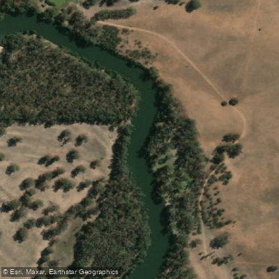
Murrumbidgee River
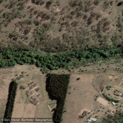
Molonglo River
Queanbeyan River
Cotter River
Googong Reservoir
Shoalhaven River
Lake Burrinjuck
Goobagandra River
Eucumbene River
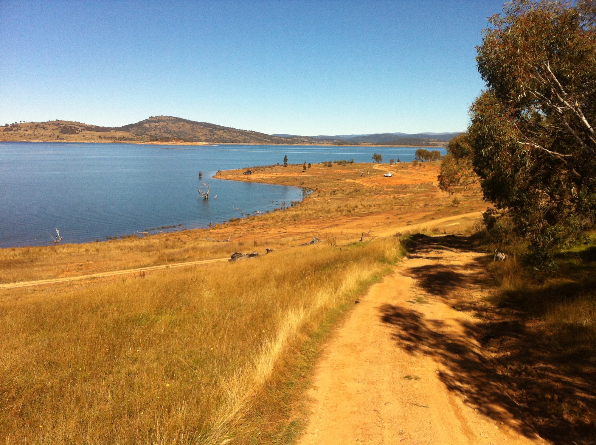
Lake Eucumbene
Explore Australian Capital Territory waters
Top paddling waters
No waters available right now.
Popular Cities
Loading popular cities...
Explore near Kangaroo Creek
Nearby waters
More in Australian Capital Territory
Smarter Paddling Starts in the App.
Paddleways gives you everything you need to plan smarter, paddle better, and own every trip from first launch to takeout.