Coila Lake
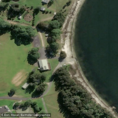
Coila Lake
Coila Lake's boat ramp provides public access to this large, shallow coastal estuary located north of the Tuross River on the south coast of New South Wales. The lake covers approximately 7. 1 square kilometres with an average depth of 2.
3 metres, and mariners should navigate with caution as depths vary and seagrass beds are present in shallower areas. The ramp is suited to small craft, and the lake is popular for recreational fishing and prawning.
Common species include whiting, bream, and Australian salmon. Coila Lake is classed as an intermittently closed coastal lake, meaning its entrance to the sea opens and closes periodically, which can affect conditions on the water.
Nearby points of interest
Find excellent paddling spots, easy access to boat ramps, and all the amenities you need for a memorable day. Your adventure starts here.
Water and weather conditions (10 day forecast)
Check the forecast at Coila Lake before you go paddling.
No forecast data available.
Paddling near Coila Lake
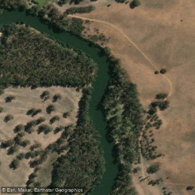
Murrumbidgee River
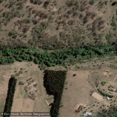
Molonglo River
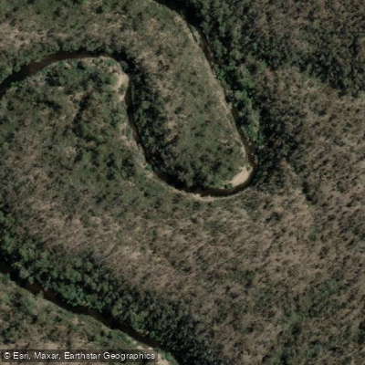
Queanbeyan River
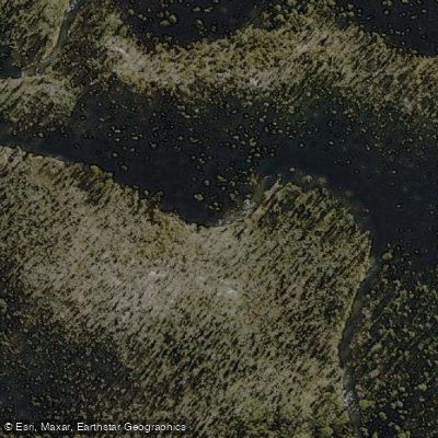
Cotter River
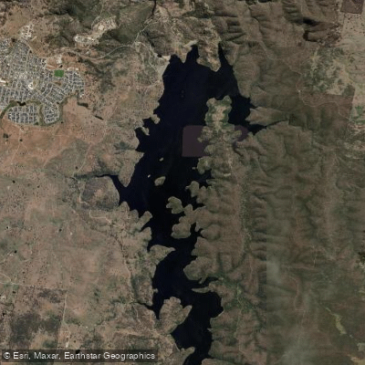
Googong Reservoir
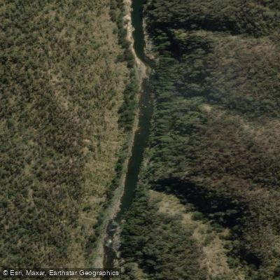
Shoalhaven River
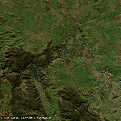
Lake Burrinjuck
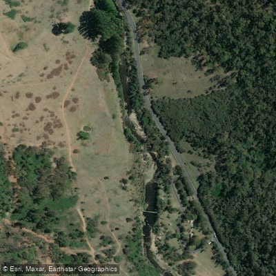
Goobagandra River
Eucumbene River
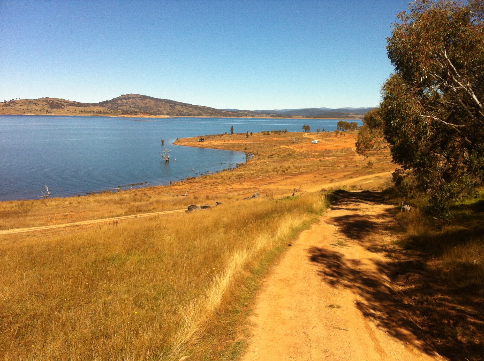
Lake Eucumbene
New South Wales licenses and regulations
Explore New South Wales waters
Top paddling waters
No waters available right now.
Popular Cities
Loading popular cities...
Explore near Coila Lake
Nearby waters
More in New South Wales

Smarter Paddling Starts in the App.
Paddleways gives you everything you need to plan smarter, paddle better, and own every trip from first launch to takeout.