Bimberamala River
Bimberamala River
- Boat Ramps
- 0
- Access Points
- 0
- Campsites
- 0
The Bimberamala River is a perennial stream in the South Coast region of southeastern New South Wales, approximately 25 kilometres northwest of Batemans Bay. It rises below Mount Budawang in the Budawang Range at an elevation of around 814 metres and flows generally southeast for approximately 50 kilometres before joining the Clyde River north of the village of Brooman, descending roughly 760 metres over its course to an elevation of 57 metres at the confluence. The river passes through Budawang National Park near its headwaters and then through the 4,396-hectare Bimberamala National Park, established in January 2001, before continuing through Yadboro State Forest.
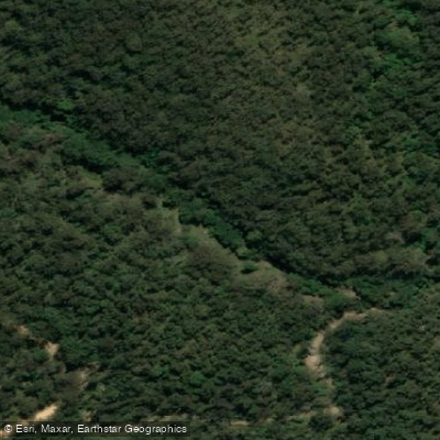
The character of the river is defined by a narrow, deeply incised valley with steep, forested terrain on either side. Within Bimberamala National Park, the river creates a series of large water holes, which are noted as a particular attraction. The valley has minimal development of river flats, and most of the park sits below 300 metres in elevation.
The park plan of management identifies the river as a potential informal route for remote area walking and notes that liloing may be a feasible activity along the river corridor. There are no formal facilities for paddlers within the park, and no constructed walking tracks. Several 4WD roads cross the park, providing limited access points, but the terrain is steep and access is restricted in places. Commercial tour groups require licences with size limits to reduce environmental impact.
Paddlers should be aware of hazards associated with historic gold mining areas within and adjacent to the park. Mine shafts in the former gold mining area make parts of the surrounding terrain hazardous, and safety signage addresses these risks. Interpretive signs encourage minimal impact practices throughout the park.
The river falls within the Clyde River catchment, and its health contributes to the water quality of the Batemans Bay area downstream. The surrounding landscape falls within the South East Corner bioregion and is characterised by steep, wooded country with significant ecological values, including habitat for five endangered animal species within Bimberamala National Park.
Water access, boat ramps & amenities
Learn how to get on Bimberamala River. Uncover great paddling access points, boat ramps, and all the facilities you need for an unforgettable day on the water. Some locations shown may border or include private property. Always check property boundaries and applicable regulations before visiting. PaddleWays's Public & Private Land layer can help you plan your access with confidence.
Paddle smarter with real-time insights
Whether you're en route and conditions shift or you're looking for the best spot based on current flows, we enable you to make informed decisions on the fly.








Find Places to Paddle

Over 400,000 Places to Paddle
Every user gets free access to launch points, boat ramps, and public property parcels.


Water and weather conditions (10 day forecast)
See the best times to paddle Bimberamala River and check the forecast before you go.
No forecast data available.
Paddling near Bimberamala River

Murrumbidgee River

Molonglo River

Queanbeyan River

Cotter River

Googong Reservoir

Shoalhaven River

Lake Burrinjuck

Goobagandra River

Eucumbene River

Lake Eucumbene
Explore New South Wales waters
Top paddling waters
No waters available right now.
Popular Cities
Loading popular cities...
Explore near Bimberamala River

Smarter Paddling Starts in the App.
Paddleways gives you everything you need to plan smarter, paddle better, and own every trip from first launch to takeout.