Currambene Creek
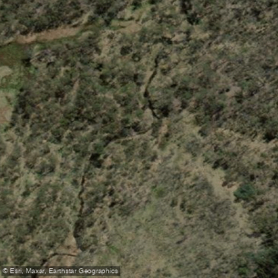
Currambene Creek
- Boat Ramps
- 0
- Access Points
- 0
- Campsites
- 0
tidal estuary on the western shore of Jervis Bay in New South Wales, flowing into the bay at Huskisson. The creek runs approximately 15 kilometres from its upper reaches near Falls Road down to the bay, passing through the township of Huskisson and the Woollamia area. The lower reaches are characterised by dense mangrove forests and saltmarshes, while the banks transition to farmland further upstream.
The primary access points are the Woollamia Regional Boat Ramp near the creek's lower section and a kayak launch ramp on Dent Street in Huskisson, adjacent to the Jervis Bay Maritime Museum. The Dent Street ramp provides direct access to the mangrove section of the creek. For those doing a one-way paddle, a car shuffle of approximately 13 kilometres is required between the Woollamia ramp and the Falls Road exit point upstream.
The Waterways Guide rates the creek at Grade S01 throughout, making it suitable for beginners and families. The calm, sheltered estuary waters are appropriate for kayaks, canoes, and stand-up paddleboards. The mangrove section near Huskisson is a notable feature — at high tide, paddlers can float among large mangroves, while low tide exposes tidal flats. Stopping points along the creek are limited, though the section behind Jervis Bay Cabins and Camping has been used as a rest stop.
Hire equipment including kayaks, canoes, stand-up paddleboards, paddles, and life jackets is available from operators based at Huskisson Wharf on Currambene Street. Participants hiring equipment must be confident swimmers, and hired kayaks and SUPs are restricted to Currambene Creek only — they cannot be taken into the open bay.
Currambene Creek also forms part of a longer 12-kilometre round-trip bay paddle from Plantation Point in Vincentia, where paddlers cross Jervis Bay to Huskisson, enter the creek to explore the moored yachts and mangroves, and return via Shark Net Beach. That route is graded S02 and takes approximately three hours. Paddlers undertaking open-bay crossings are advised to log on and off with Marine Rescue Jervis Bay using the NSW Marine Rescue app.
Water access, boat ramps & amenities
Learn how to get on Currambene Creek. Uncover great paddling access points, boat ramps, and all the facilities you need for an unforgettable day on the water. Some locations shown may border or include private property. Always check property boundaries and applicable regulations before visiting. PaddleWays's Public & Private Land layer can help you plan your access with confidence.
Paddle smarter with real-time insights
Whether you're en route and conditions shift or you're looking for the best spot based on current flows, we enable you to make informed decisions on the fly.







Find Places to Paddle

Over 400,000 Places to Paddle
Every user gets free access to launch points, boat ramps, and public property parcels.


Water and weather conditions (10 day forecast)
See the best times to paddle Currambene Creek and check the forecast before you go.
No forecast data available.
Paddling near Currambene Creek
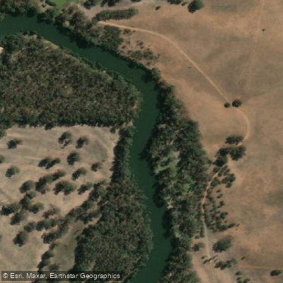
Murrumbidgee River
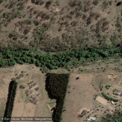
Molonglo River
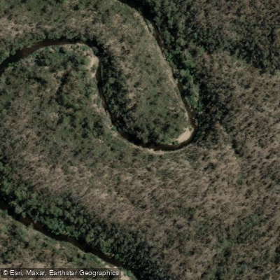
Queanbeyan River
Cotter River
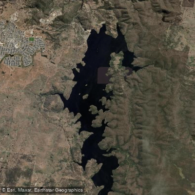
Googong Reservoir
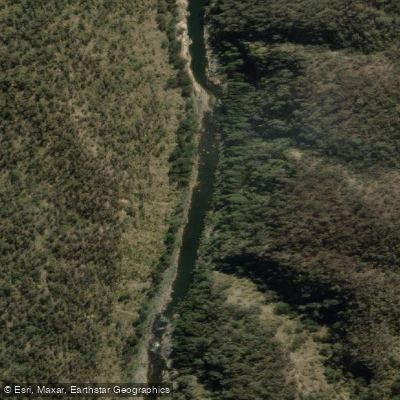
Shoalhaven River
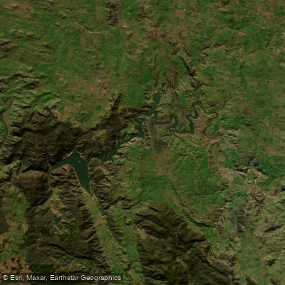
Lake Burrinjuck
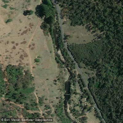
Goobagandra River
Eucumbene River
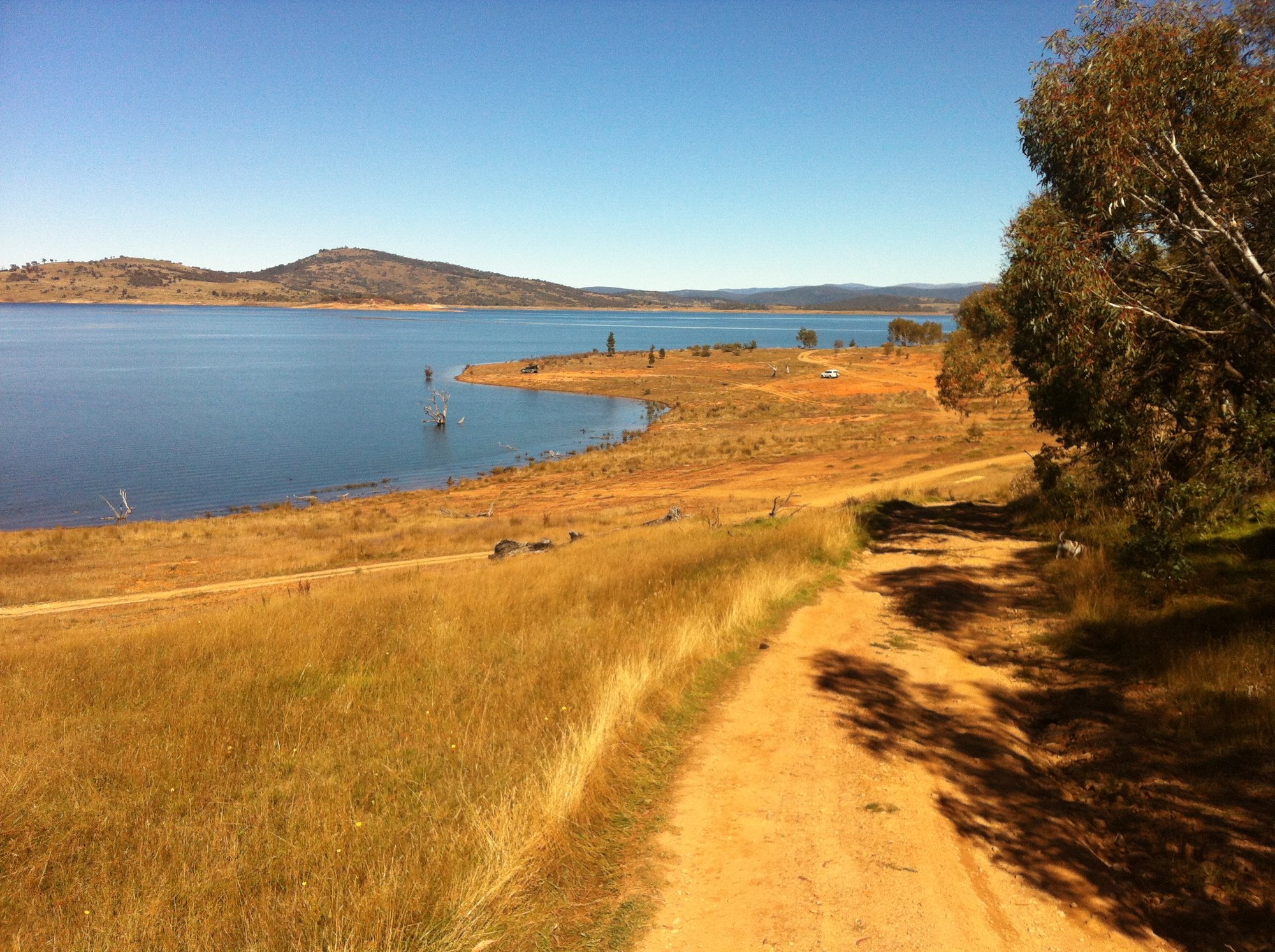
Lake Eucumbene
Explore New South Wales waters
Top paddling waters
No waters available right now.
Popular Cities
Loading popular cities...
Explore near Currambene Creek
Smarter Paddling Starts in the App.
Paddleways gives you everything you need to plan smarter, paddle better, and own every trip from first launch to takeout.