Four Mile Creek
- River
- River
- River length
- 3.5 mi
- Boat Ramps
- 0
- Access Points
- 0
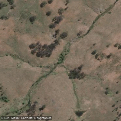
Four Mile Creek in New South Wales, Australia, offers paddling access points, including one noted as Creek Road. The Waterways Guide also references an access point at Sheepyard Flat, though its exact relationship to the creek is not detailed. A specific paddling route is described as the Four Mile Creek Figure 8, which is an 8.8-mile loop trail near Springside. This route is generally considered moderately challenging and takes an average of 3 hours and 36 minutes to complete. Facilities for paddlers, such as boat ramps, are indicated as available, though their precise locations are not specified. The overall character of the experience is defined by this established loop trail, which suggests a structured paddling route through the area.
Hazards
Hazards on Four Mile Creek
No hazards are marked on Four Mile Creek yet. That is not the same as none being there: if you find one, report it for the next paddler.
From the community
Four Mile Creek trip reports
Nobody has shared a trip on Four Mile Creek yet. Paddle it, then tell the next paddler how it went.
Flows & paddling conditions (10 day forecast)
Flows and weather, so you know what to expect on Four Mile Creek today.
No forecast data available.
Paddle smarter with real-time insights
Live flows, marked hazards and fresh trip reports from paddlers who were just on the water, all in one place.







Find Places to Paddle

Over 400,000 Places to Paddle
Every user gets free access to launch points, boat ramps, and public property parcels.



Paddling near Four Mile Creek
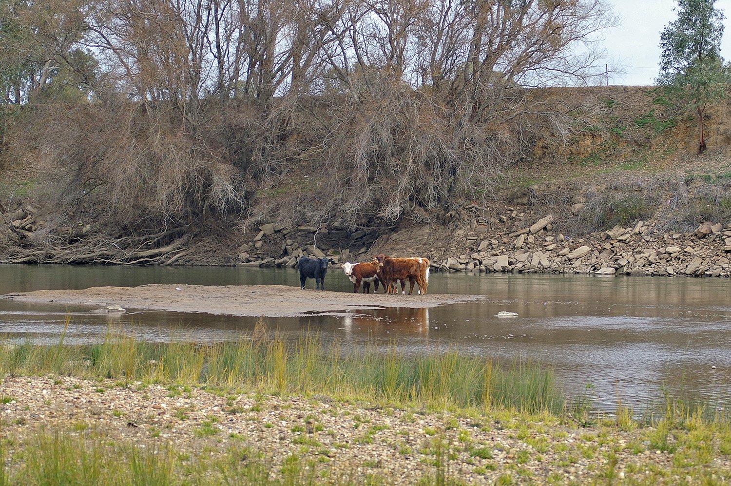
Murrumbidgee River
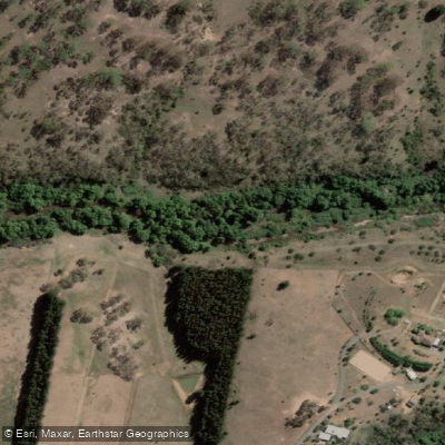
Molonglo River
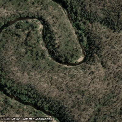
Queanbeyan River
Cotter River
Googong Reservoir
Shoalhaven River
Lake Burrinjuck
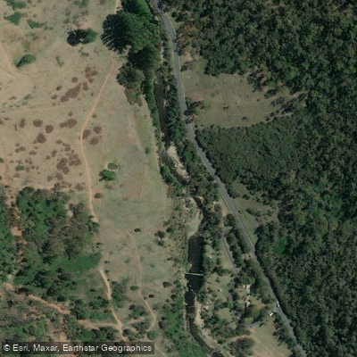
Goobagandra River
Eucumbene River
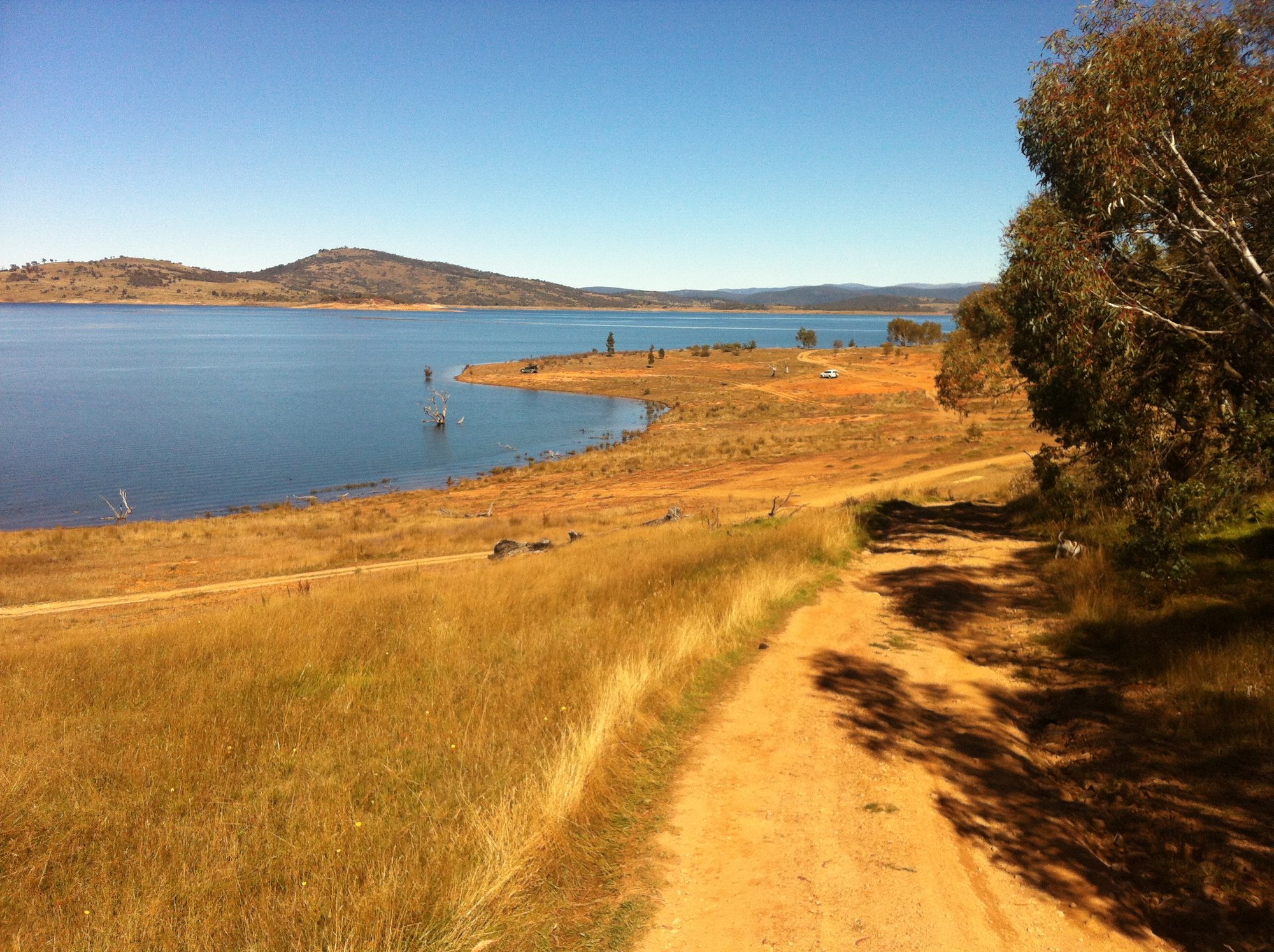
Lake Eucumbene
Explore New South Wales waters
Top paddling waters
No waters available right now.
Explore near Four Mile Creek

Smarter Paddling Starts in the App.
PaddleWays gives you everything you need to plan smarter, paddle better, and own every trip from first launch to takeout.