Lake Jindabyne
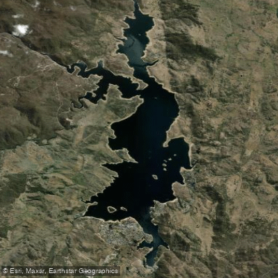
Lake Jindabyne
- Boat Ramps
- 3
- Access Points
- 0
- Campsites
- 2
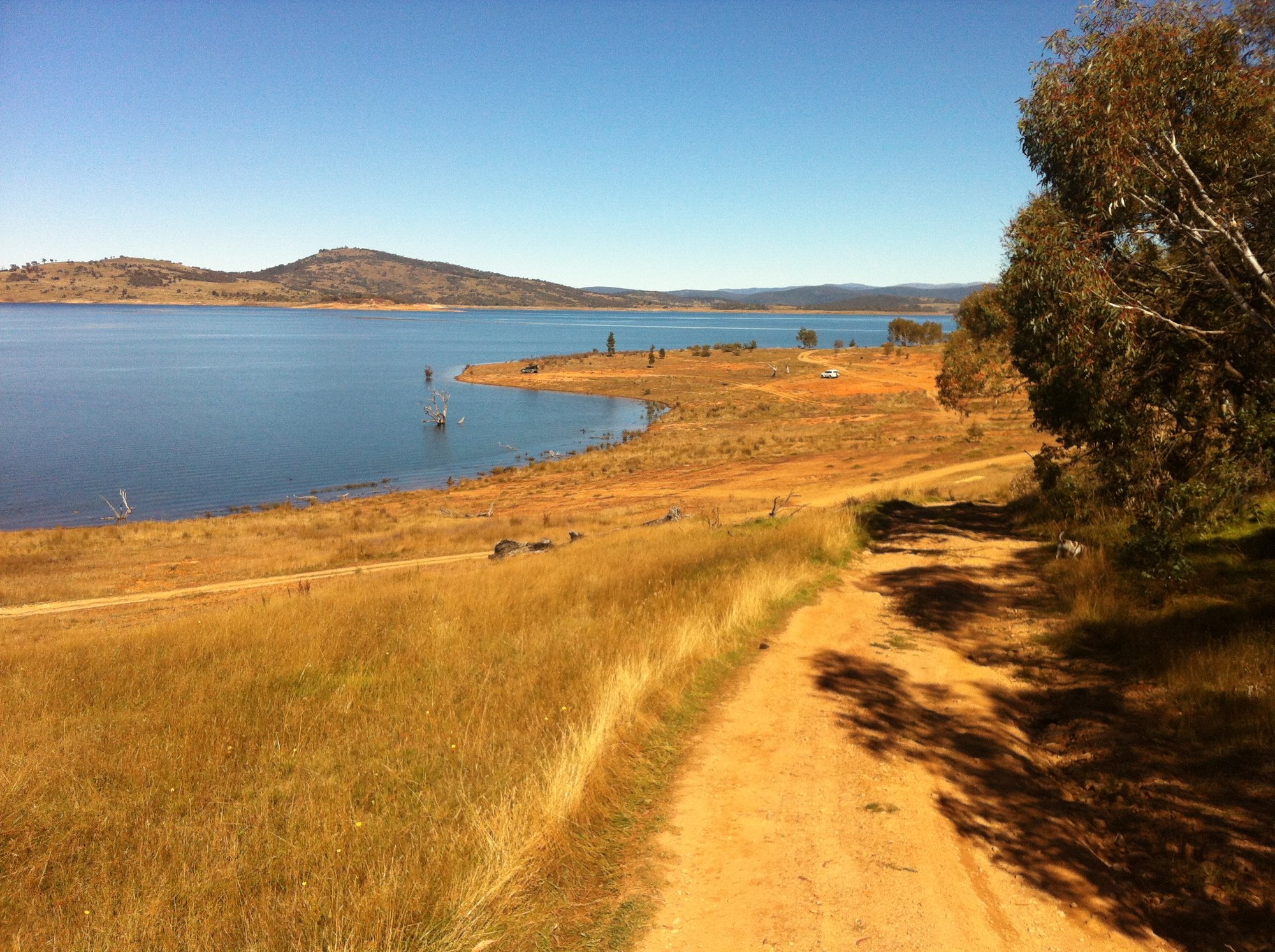
Lake Jindabyne is a large reservoir in the Snowy Mountains region of New South Wales, formed when the Snowy River was dammed as part of the Snowy Hydro Scheme. The lake is one of Australia's highest, offering a substantial expanse of water with multiple bays, islands, and inlets to explore. Water levels fluctuate considerably depending on rainfall, snowmelt, and releases for hydroelectricity generation and irrigation, so paddlers should be aware that the shoreline and depth can vary significantly between visits. Levels tend to be lower in autumn and recover through winter and spring as snowmelt contributes to the catchment.
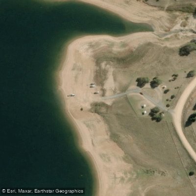
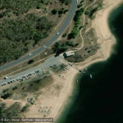
The town of Jindabyne sits on the lake's northern shore and provides the primary hub for paddlers. The Claypits area has a lake foreshore path and serves as a convenient access point, and there are multiple boat ramps around the lake including the Widows Inlet Boat Ramp, a single-lane concrete ramp on the lake. Sandy banks near the town foreshore also offer informal launch options. Equipment hire — including kayaks, canoes, and paddle boats — is available locally for periods ranging from one hour to a full day.
A popular route follows the town foreshore before crossing to the East Jindabyne side, where the scenery transitions to trees and rocky outcrops with minimal built infrastructure. Two small islands sit off the town shore and are worth rounding as part of a loop. A route to the mouth of the Eucumbene River and back is another documented option. A 6 km loop covering the foreshore and a crossing to the eastern bank is a manageable introductory paddle, while the lake is large enough to occupy a full day of exploration.
Wind is a notable consideration. Afternoon winds coming off the surrounding mountains can build significantly, making morning starts strongly advisable. The lake also supports motorized watercraft including jet skis and water-skiing boats, so paddlers should remain alert to vessel traffic, particularly during summer when recreational use peaks. Summer is the primary paddling season, with water sports and fishing drawing large numbers of visitors. Wildlife encounters are possible; at least one paddler has reported sighting a platypus on the lake and connecting Snowy River section.
Water access, boat ramps & amenities
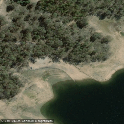
Learn how to get on Lake Jindabyne. Uncover great paddling access points, boat ramps, and all the facilities you need for an unforgettable day on the water. Some locations shown may border or include private property. Always check property boundaries and applicable regulations before visiting. PaddleWays's Public & Private Land layer can help you plan your access with confidence.
Paddle smarter with real-time insights
Whether you're en route and conditions shift or you're looking for the best spot based on current flows, we enable you to make informed decisions on the fly.








Find Places to Paddle

Over 400,000 Places to Paddle
Every user gets free access to launch points, boat ramps, and public property parcels.


Water and weather conditions (10 day forecast)
See the best times to paddle Lake Jindabyne and check the forecast before you go.
Lake Jindabyne Rl
Paddling near Lake Jindabyne
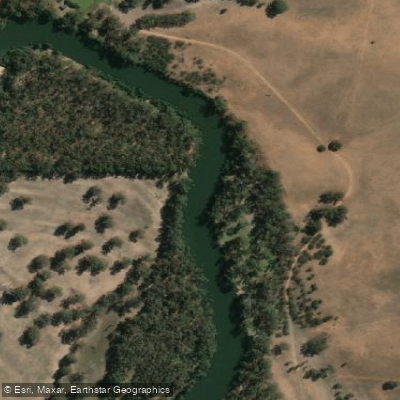
Murrumbidgee River
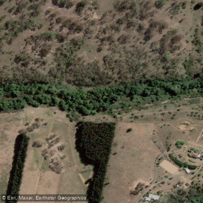
Molonglo River
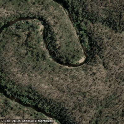
Queanbeyan River
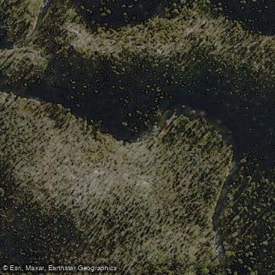
Cotter River
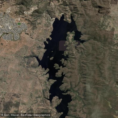
Googong Reservoir
Shoalhaven River
Lake Burrinjuck
Goobagandra River
Eucumbene River
Lake Eucumbene
Explore New South Wales waters
Top paddling waters
No waters available right now.
Popular Cities
Loading popular cities...
Explore near Lake Jindabyne
Access points
Nearby waters
More in New South Wales

Smarter Paddling Starts in the App.
Paddleways gives you everything you need to plan smarter, paddle better, and own every trip from first launch to takeout.