Lemon Tree Creek
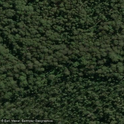
Lemon Tree Creek
- Boat Ramps
- 0
- Access Points
- 0
- Campsites
- 0
Lemon Tree Creek is a shallow tidal waterway located near Lake Tabourie on the New South Wales South Coast, functioning as an offshoot from Tabourie Creek. The creek is quite shallow — in many places less than half a metre deep — which effectively limits access to non-motorised craft such as kayaks and canoes, making for a quiet paddling environment largely free from motorised boat traffic.
The creek stretches inland at one end and reaches a sandy beach at the other, where it is closed to the ocean. This enclosed, sheltered character means conditions are generally calm. The shallow depth does mean paddlers should be mindful of grounding in places, particularly at lower tides.
The waterway passes alongside residential properties, mostly holiday homes, set back along its banks. Wildlife is a notable feature of paddling here. Azure Kingfishers have been observed along the banks, their orange chests and blue wings visible through the riparian vegetation. White-bellied Sea-Eagles have also been spotted in trees close to the water's edge. Fish are active in the creek, and White-Spotted jellyfish — which are not poisonous to humans — have been observed in the waterway. A bush wallaby has also been encountered near the creek's upper reaches.
The navigable length of the creek is limited, and paddlers will reach the end of the navigable section relatively quickly, making this more of a short exploratory paddle than a full-day trip. It connects to Tabourie Creek, which offers the possibility of extending a paddle into the broader lake and creek system in the area.
The surrounding landscape is lush, with green riparian vegetation lining the banks. The shallow, enclosed nature of the creek and the proximity of wildlife make it particularly well suited to slow, observational paddling. There are no specific restrictions or regulations for paddling on this waterway.
Water access, boat ramps & amenities
Learn how to get on Lemon Tree Creek. Uncover great paddling access points, boat ramps, and all the facilities you need for an unforgettable day on the water. Some locations shown may border or include private property. Always check property boundaries and applicable regulations before visiting. PaddleWays's Public & Private Land layer can help you plan your access with confidence.
Paddle smarter with real-time insights
Whether you're en route and conditions shift or you're looking for the best spot based on current flows, we enable you to make informed decisions on the fly.







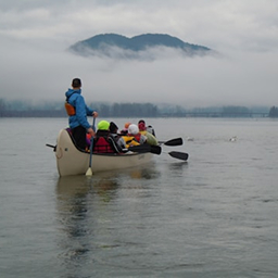
Find Places to Paddle

Over 400,000 Places to Paddle
Every user gets free access to launch points, boat ramps, and public property parcels.


Water and weather conditions (10 day forecast)
See the best times to paddle Lemon Tree Creek and check the forecast before you go.
No forecast data available.
Paddling near Lemon Tree Creek
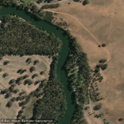
Murrumbidgee River
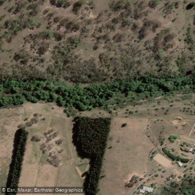
Molonglo River
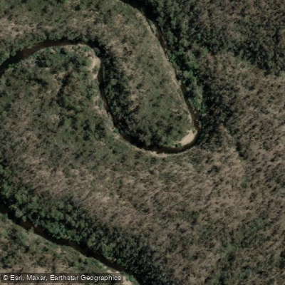
Queanbeyan River
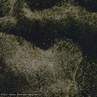
Cotter River
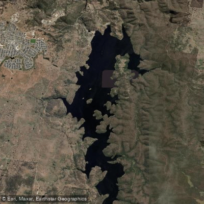
Googong Reservoir
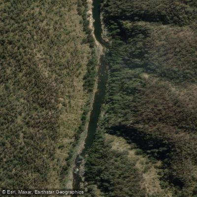
Shoalhaven River
Lake Burrinjuck
Goobagandra River
Eucumbene River
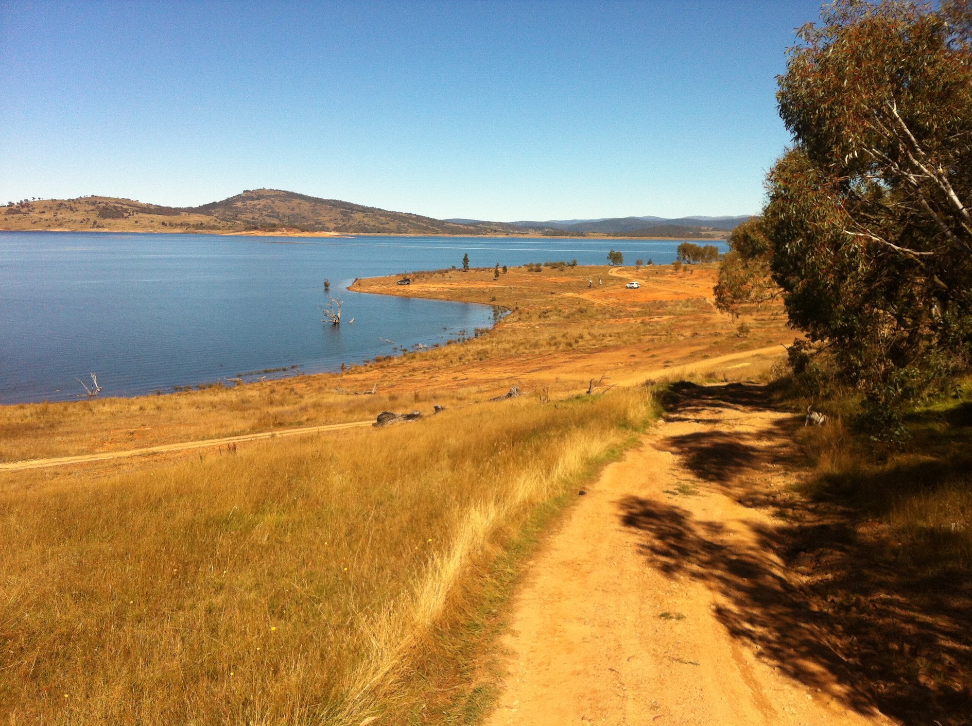
Lake Eucumbene
Explore New South Wales waters
Top paddling waters
No waters available right now.
Popular Cities
Loading popular cities...
Explore near Lemon Tree Creek

Smarter Paddling Starts in the App.
Paddleways gives you everything you need to plan smarter, paddle better, and own every trip from first launch to takeout.