Moruya River
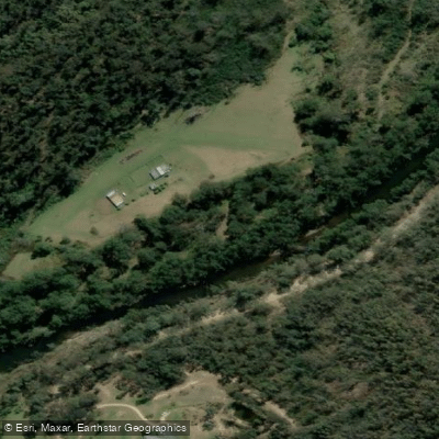
Moruya River
- Boat Ramps
- 4
- Access Points
- 0
- Campsites
- 4
The Moruya River sits in the Eurobodalla region of New South Wales on the South Coast, flowing through coastal floodplains and mangrove margins before meeting the sea near Moruya Heads. The river carries two names: upstream in the hills it is known as the Deua River, while the tidal, estuarine lower section near the coast is the Moruya River proper. The paddling character is flatwater throughout, with long, unhurried stretches suited to those who want to move quietly and observe the surrounding environment.
There are two main paddling directions from the town of Moruya. Launching from the town boat ramp on the east side of Moruya Bridge, paddlers can head west for approximately 12 kilometres to the bridge on Araluen Road. This route winds through farming land and forest. Above the Araluen Road bridge the river can become shallow, and the upper reaches involve many obstructions, so checking maps and water levels before venturing further is recommended. A short side trip up Womban Creek at high tide is noted as worthwhile. The sandy bank adjacent to the Yarragee Recreation Reserve provides a convenient stopping and turnaround point on this western route.
Heading east from town, the river moves toward Moruya Heads, where the river meets the coast. The mangrove channels on the northern bank near the heads can be explored at high tide when water levels allow paddling under the canopy. The Moruya Heads boat ramp provides an alternative access point for this eastern section. Oyster farms are present near the Moruya Breakwall to the east.
Tidal influence is significant throughout the lower river. Avoiding the bottom of the tide makes for easier paddling, particularly where shallow spots occur. Timing a paddle to work with the tide rather than against it is advisable. The river upstream from town is largely undeveloped.
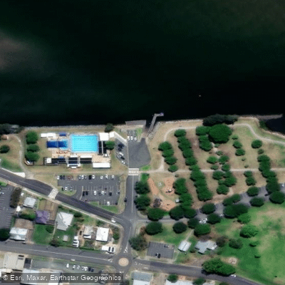
Wildlife regularly encountered includes sea eagles, cormorants, pelicans, and little egrets. The Global Paddler guide for the region also notes azure kingfishers and swamp wallabies in the broader area. Kayak hire is available locally. The town boat ramp at Riverside Park is the primary launch point, with the Moruya Heads boat ramp serving the eastern section.
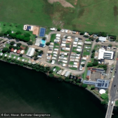
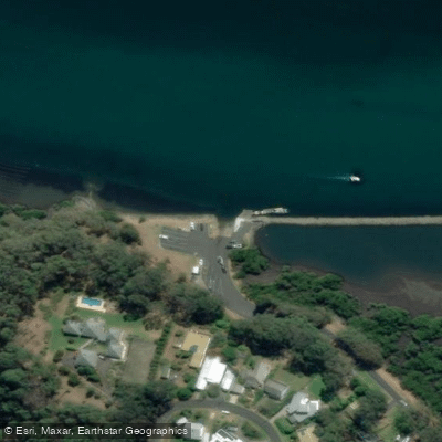
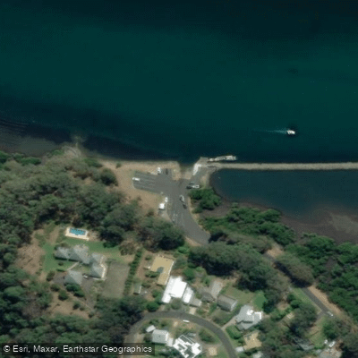
Water access, boat ramps & amenities
Learn how to get on Moruya River. Uncover great paddling access points, boat ramps, and all the facilities you need for an unforgettable day on the water. Some locations shown may border or include private property. Always check property boundaries and applicable regulations before visiting. PaddleWays's Public & Private Land layer can help you plan your access with confidence.
Paddle smarter with real-time insights
Whether you're en route and conditions shift or you're looking for the best spot based on current flows, we enable you to make informed decisions on the fly.








Find Places to Paddle

Over 400,000 Places to Paddle
Every user gets free access to launch points, boat ramps, and public property parcels.


Water and weather conditions (10 day forecast)
See the best times to paddle Moruya River and check the forecast before you go.
Deua River At Riverview
All Flow Stations
Paddling near Moruya River

Murrumbidgee River

Molonglo River

Queanbeyan River

Cotter River

Googong Reservoir

Shoalhaven River

Lake Burrinjuck

Goobagandra River

Eucumbene River

Lake Eucumbene
Explore New South Wales waters
Top paddling waters
No waters available right now.
Popular Cities
Loading popular cities...
Explore near Moruya River
Access points
Nearby waters
More in New South Wales

Smarter Paddling Starts in the App.
Paddleways gives you everything you need to plan smarter, paddle better, and own every trip from first launch to takeout.