Nerrimunga Creek
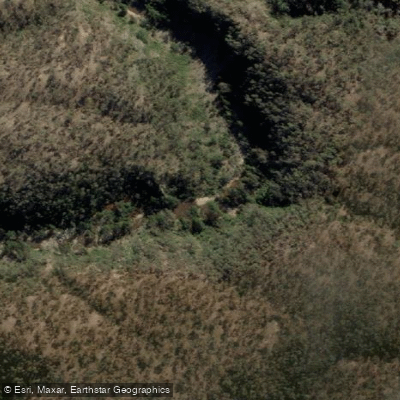
Nerrimunga Creek
- Boat Ramps
- 0
- Access Points
- 0
- Campsites
- 0
Nerrimunga Creek is a tributary of the Shoalhaven River in New South Wales, with its junction located at approximately the 19km mark along the Oallen Ford to Tallowa Dam river section. The creek's confluence serves as a notable landmark along this stretch of the Shoalhaven, and paddlers travelling the main river will find a campsite situated opposite the junction with Nerrimunga Creek, making it a useful reference point for trip planning and overnight stops.
The area around the creek junction falls within a section of the Shoalhaven that features grade 2 and 3 rapids, particularly between Sluice Box Spur (17.5km) and around Great Horseshoe Bend (28km). This stretch provides consistent whitewater interest for paddlers.
Feral goats and sheep are known to appear along the riverbanks and on rocky outcrops in this general area, adding a degree of wildlife interest to the paddling experience.
The broader river corridor in this region is remote and largely free of signs of habitation beyond the high-tension power lines encountered earlier in the journey. Access to the area generally requires high-clearance vehicles, and any exits from the river at private properties require prior arrangement with landowners. The terrain is characterised by gorge country with steep valley walls, which limits egress options and underscores the importance of thorough trip planning before entering this section.
The campsite opposite the Nerrimunga Creek junction provides one of the few substantial overnight options between Henrys Point and Sluice Box Spur, making it a practical stopping point for multi-day trips along the Shoalhaven. The information on this section is published in the Paddle NSW "Canoeing Guide to New South Wales."
Water access, boat ramps & amenities
Learn how to get on Nerrimunga Creek. Uncover great paddling access points, boat ramps, and all the facilities you need for an unforgettable day on the water. Some locations shown may border or include private property. Always check property boundaries and applicable regulations before visiting. PaddleWays's Public & Private Land layer can help you plan your access with confidence.
Paddle smarter with real-time insights
Whether you're en route and conditions shift or you're looking for the best spot based on current flows, we enable you to make informed decisions on the fly.








Find Places to Paddle

Over 400,000 Places to Paddle
Every user gets free access to launch points, boat ramps, and public property parcels.


Water and weather conditions (10 day forecast)
See the best times to paddle Nerrimunga Creek and check the forecast before you go.
Minshull Trig
Paddling near Nerrimunga Creek

Molonglo River

Murrumbidgee River

Queanbeyan River

Cotter River

Lake Burrinjuck

Googong Reservoir

Goobagandra River

Shoalhaven River
Back Creek
Lachlan River
Explore New South Wales waters
Top paddling waters
No waters available right now.
Popular Cities
Loading popular cities...
Explore near Nerrimunga Creek

Smarter Paddling Starts in the App.
Paddleways gives you everything you need to plan smarter, paddle better, and own every trip from first launch to takeout.