Tumut River
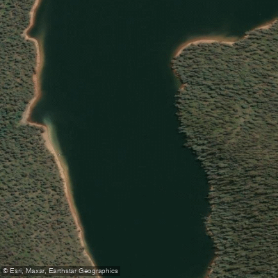
Tumut River
- Boat Ramps
- 3
- Access Points
- 0
- Campsites
- 3
The Tumut River flows approximately 100 km through the Snowy Valleys region of New South Wales, cutting through rugged ranges and rolling rural countryside before joining the Murrumbidgee River near Gundagai. The official Tumut River Canoe and Kayak Trail begins at the base of the Blowering Dam wall and follows the river downstream to its confluence with the Murrumbidgee, covering roughly 95 km. The trail is classified as Grade 1, featuring some small rapids, making it suitable for more experienced paddlers rather than complete beginners.
The primary put-in is at Jones Bridge Reserve, located beneath the Blowering Dam wall upstream of Tumut. A popular day-trip section runs the 16 km from Jones Bridge Reserve to Junction Park Lions Reserve, which takes paddlers around the town of Tumut and offers convenient access to meals, accommodation, and car shuttling. For this shorter section, a recommended minimum gauge reading at the Tumut gauge is 1 metre, with caution advised above 1.4 metres. The full multi-day route can be broken into stages: approximately 22.5 km from Jones Bridge to Riverglade Caravan Park, then around 38 km to Brungle Bridge Reserve, and a final stretch meeting the Murrumbidgee before continuing 18 km into Gundagai Common, just past the historic Prince Alfred Bridge and Gundagai Railway Bridge.
The river is fast-flowing and continuously lined with trees and snags, and the main current frequently directs paddlers toward these hazards. Confident manoeuvrability in fast-moving water is essential. Water released from Blowering Dam is notably cold, which is an important consideration for paddlers year-round. The river runs high, cold, and clear, characteristics typical of a regulated tailwater system.
The best time to paddle is during summer, when the Snowy Mountains Hydro Electric Scheme releases water following snowmelt, generally from September through March. The river passes through forest and farmland, offering varied scenery along its length. It is also regarded as one of the finest trout rivers in New South Wales, so encounters with fly fishers on the water are common.
Riverglade Caravan Park provides overnight accommodation near the river, and Brungle Bridge Reserve serves as a campsite further downstream. Upon reaching Gundagai, paddlers have the option to continue onto the Murrumbidgee Canoe Trail.
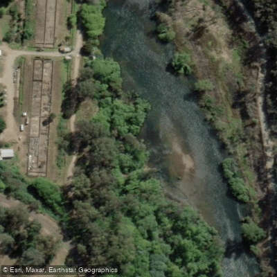
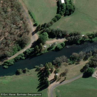
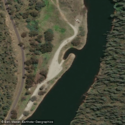
Water access, boat ramps & amenities
Learn how to get on Tumut River. Uncover great paddling access points, boat ramps, and all the facilities you need for an unforgettable day on the water. Some locations shown may border or include private property. Always check property boundaries and applicable regulations before visiting. PaddleWays's Public & Private Land layer can help you plan your access with confidence.
Paddle smarter with real-time insights
Whether you're en route and conditions shift or you're looking for the best spot based on current flows, we enable you to make informed decisions on the fly.








Find Places to Paddle

Over 400,000 Places to Paddle
Every user gets free access to launch points, boat ramps, and public property parcels.


Water and weather conditions (10 day forecast)
See the best times to paddle Tumut River and check the forecast before you go.
Tumut River At Tumut
All Flow Stations
Paddling near Tumut River

Murrumbidgee River

Molonglo River

Queanbeyan River

Cotter River

Googong Reservoir

Shoalhaven River

Lake Burrinjuck

Goobagandra River

Eucumbene River

Lake Eucumbene
Explore New South Wales waters
Top paddling waters
No waters available right now.
Popular Cities
Loading popular cities...
Explore near Tumut River
Access points
Nearby waters
More in New South Wales

Smarter Paddling Starts in the App.
Paddleways gives you everything you need to plan smarter, paddle better, and own every trip from first launch to takeout.