Yadboro River
Yadboro River
- Boat Ramps
- 0
- Access Points
- 0
- Campsites
- 1
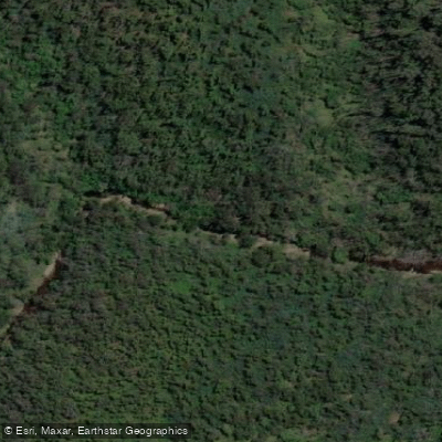
The Yadboro River is a perennial river in southeastern New South Wales that rises on the eastern slopes of the Budawang Range within Budawang National Park and flows generally southeast for approximately 27 kilometres before joining the Clyde River. The river lies primarily within Morton National Park and the adjacent Budawang Wilderness, traversing rugged forested terrain of steep ridges, gullies, and eucalypt forest. Its confluence with the Clyde River falls within the City of Shoalhaven local government area.
The most commonly referenced paddling section begins at Yadboro Bridge and runs downstream to the Clyde Ridge Road Bridge. This stretch has almost no rapids as such, with only a few easy gravel races, and is characterised by narrow tree-shrouded sections where the current runs through fallen and hanging timber. Log jams and trees completely blocking the river require portages at multiple points, though these are generally manageable. The atmosphere is one of wilderness and remoteness, and views of Pigeon House Mountain from one of the pools along the route are a notable feature. The section is generally considered canoeable when the race under Yadboro Bridge can be paddled without scraping the bottom. If water levels rise more than approximately 15 centimetres above this minimum, the tree hazards can become dangerous. A gauge reading below 0.8 metres is considered not worthwhile for kayaking.
The first campsite along this section is at Blue Gum Flat, approximately 7 kilometres from the put-in, with the best maintained campground located at Yadboro itself. The Yadboro Flat camping area, situated at the Yadboro River and Clyde River junction, offers approximately 1 kilometre of deep water upstream and shallow rapids, pools, and river forest downstream. The camping area requires 4WD access and has toilet facilities but no potable water. Campfires are permitted.
Below the Clyde Ridge Road Bridge, the Clyde River continues to Brooman with some Grade 2 rapids, completable in 4 to 5 hours with a shuttle of approximately 8 kilometres each way. Paddlers planning the upper Yadboro section should carry a saw or similar tool given the frequency of river-wide debris. Gravel bars along the river can serve as additional camping spots beyond the established sites.
Water access, boat ramps & amenities
Learn how to get on Yadboro River. Uncover great paddling access points, boat ramps, and all the facilities you need for an unforgettable day on the water. Some locations shown may border or include private property. Always check property boundaries and applicable regulations before visiting. PaddleWays's Public & Private Land layer can help you plan your access with confidence.
Paddle smarter with real-time insights
Whether you're en route and conditions shift or you're looking for the best spot based on current flows, we enable you to make informed decisions on the fly.








Find Places to Paddle

Over 400,000 Places to Paddle
Every user gets free access to launch points, boat ramps, and public property parcels.


Water and weather conditions (10 day forecast)
See the best times to paddle Yadboro River and check the forecast before you go.
No forecast data available.
Paddling near Yadboro River

Molonglo River

Murrumbidgee River

Queanbeyan River

Cotter River

Lake Burrinjuck

Googong Reservoir

Goobagandra River

Shoalhaven River
Back Creek
Lachlan River
Explore New South Wales waters
Top paddling waters
No waters available right now.
Popular Cities
Loading popular cities...
Explore near Yadboro River
Access points
Nearby waters
More in New South Wales

Smarter Paddling Starts in the App.
Paddleways gives you everything you need to plan smarter, paddle better, and own every trip from first launch to takeout.