Lamb Island Ramp
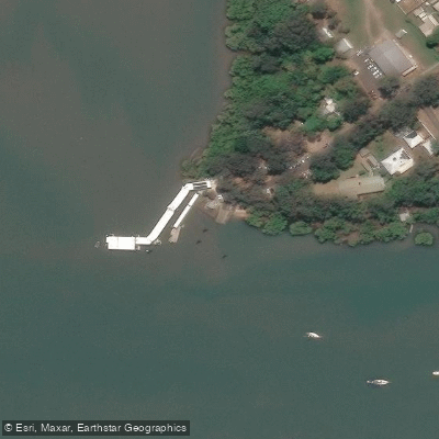
Lamb Island Ramp
OpenStreetMap water/recreation POI
Nearby points of interest
Find excellent paddling spots, easy access to boat ramps, and all the amenities you need for a memorable day. Your adventure starts here.
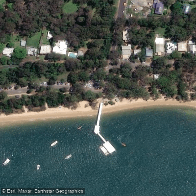
Coochiemudlo, Elizabeth Street
Access Point
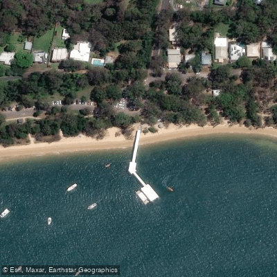
Coochiemudlo Island, Elizabeth Street
Access Point
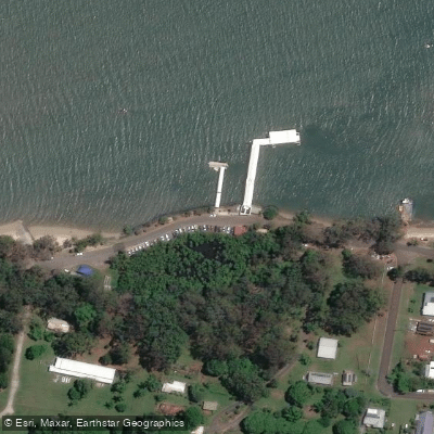
Karragarra Island, The Esplanade
Access Point
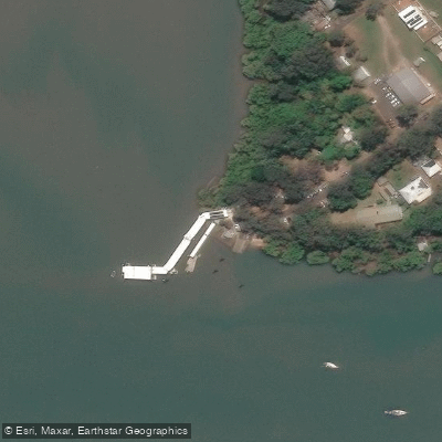
Lamb Island, Lucas Drive
Access Point
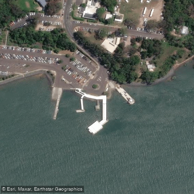
Macleay Island, Brighton Road
Access Point
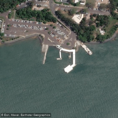
Macleay Island, Brighton Road
Access Point
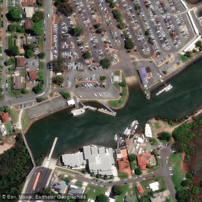
Redland Bay, Banana Street
Access Point
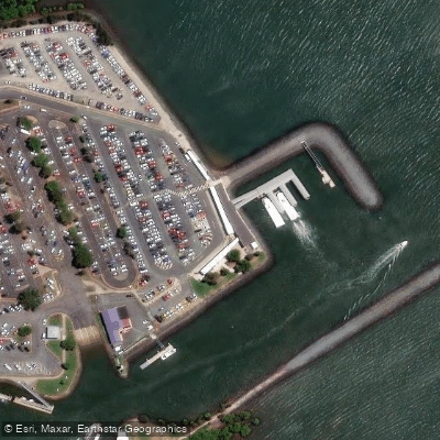
Redland Bay, Banana Street
Access Point
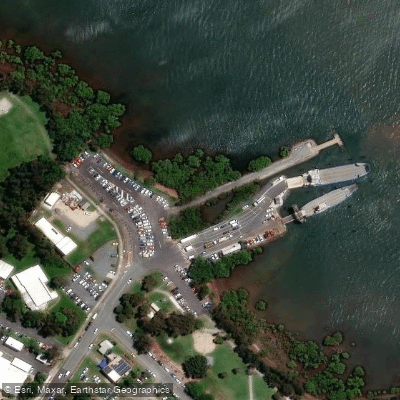
Redland Bay, Weinam Street
Access Point
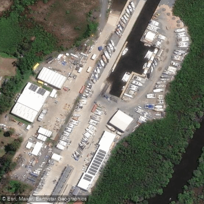
Redland City Marina
Access Point
Water and weather conditions (10 day forecast)
Check the forecast at Lamb Island Ramp before you go paddling.
No forecast data available.
Paddling near Lamb Island Ramp
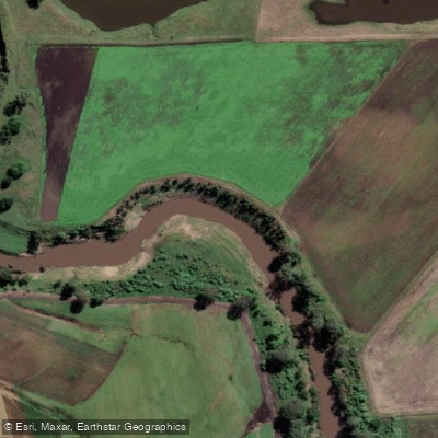
Logan River
Queensland
32.8 miles away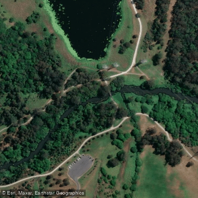
Bulimba Creek
Queensland
18.1 miles away
Moreton Bay
Queensland
23.5 miles away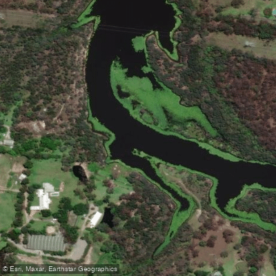
Tingalpa Creek
Queensland
12.5 miles away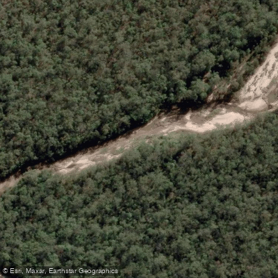
Oxley Creek
Queensland
23.9 miles away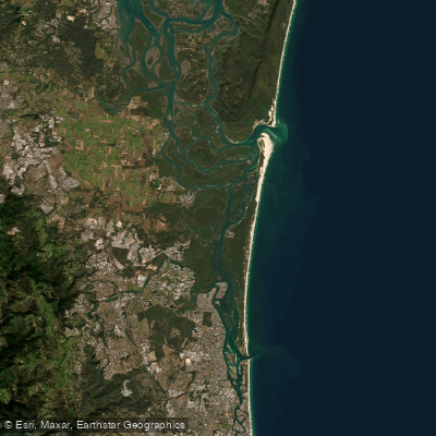
Southern Moreton Bay
Queensland
12.5 miles away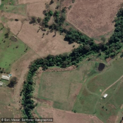
Albert River
Queensland
27.3 miles away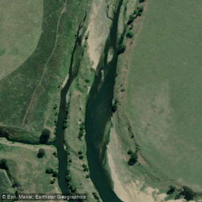
Brisbane River
Queensland
56.1 miles away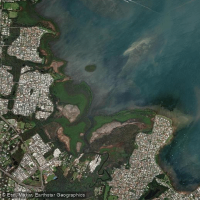
Eprapah Creek
Queensland
6.9 miles away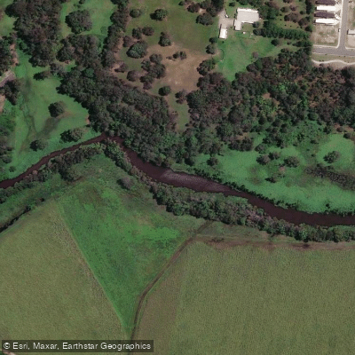
Pimpama River
Queensland
13.1 miles awayQueensland licenses and regulations
Explore Queensland waters
Top paddling waters
No waters available right now.
Popular Cities
Loading popular cities...
Explore near Lamb Island Ramp
Nearby spots
- Commercial Public Barge Ramp
- Coochiemudlo, Tageruba Street
- Dalpura Bay Half Tide Ramp
- Karragarra Island Boat Ramp
- Karragarra Island, The Esplanade
- Lamb Island, Lucas Drive
- Macleay Island, Brighton Road
- Macleay Island, Dalpura Street
- Macleay Island, Russell Terrace
- Point Talburpin
- Redland Bay, Banana Street
- Redland Bay, Moores Road
- All 25 nearby spots
Nearby waters
More in Queensland

Smarter Paddling Starts in the App.
Paddleways gives you everything you need to plan smarter, paddle better, and own every trip from first launch to takeout.