Teviot Brook
Teviot Brook
- Boat Ramps
- 0
- Access Points
- 0
- Campsites
- 0
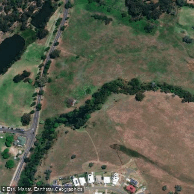
Teviot Brook is the waterway upon which Wyaralong Dam is located, situated at Wyaralong approximately 14 kilometres northwest of Beaudesert in southeast Queensland. The dam precinct incorporates the Mt Joyce Recreation Park and accommodates a range of users including canoeists, campers, walkers, mountain bikers, and horse riders.
Several access points are available for paddlers. A well-signposted road heads north from the Beaudesert-Boonah Road to the spillway and Eastern Trailhead, where a boat ramp, picnic facilities, and camping are available nearby. A second put-in can be found by turning north off the Beaudesert-Boonah Road into Old Beaudesert Road, where paddlers can launch beside a low-level concrete bridge over the flooded Teviot Brook. A third option involves turning right into Knehr Road just past the Old Beaudesert Road crossing of Teviot Brook; after approximately two kilometres, a short track leads off to the right down to a locked gate and informal parking area. Paddlers using the Knehr Road access should be aware of gate opening times.
The character of the paddling varies considerably depending on which section is explored. The open portions of the dam are well suited to longer touring craft, with pleasant views across to Mt Joyce. However, the confined headwaters of the dam — accessible from the Lilybrook or Old Beaudesert Road entry points — are choked with a large number of obtrusive trees, making shorter boats of under approximately 4.2 metres the recommended choice for those sections. The eastern and southern banks include some cleared areas that are notably denuded in appearance.
The dam precinct is a managed facility, and paddlers should take note of gate opening times when entering via the signposted eastern access road.
Water access, boat ramps & amenities
Learn how to get on Teviot Brook. Uncover great paddling access points, boat ramps, and all the facilities you need for an unforgettable day on the water. Some locations shown may border or include private property. Always check property boundaries and applicable regulations before visiting. PaddleWays's Public & Private Land layer can help you plan your access with confidence.
Paddle smarter with real-time insights
Whether you're en route and conditions shift or you're looking for the best spot based on current flows, we enable you to make informed decisions on the fly.







Queensland licenses and regulations

Find Places to Paddle

Over 400,000 Places to Paddle
Every user gets free access to launch points, boat ramps, and public property parcels.


Water and weather conditions (10 day forecast)
See the best times to paddle Teviot Brook and check the forecast before you go.
Teviot Brook At Croftby
All Flow Stations
Paddling near Teviot Brook
Logan River
Bulimba Creek

Moreton Bay
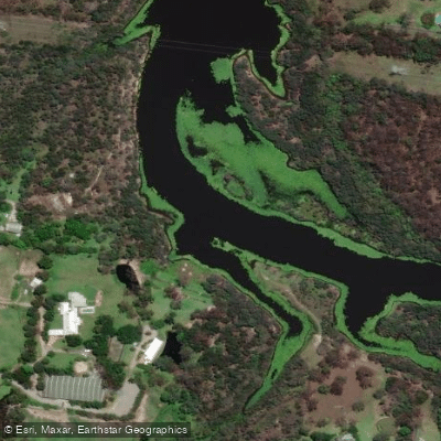
Tingalpa Creek
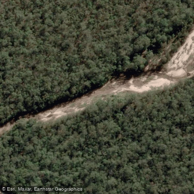
Oxley Creek
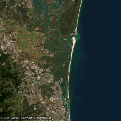
Southern Moreton Bay
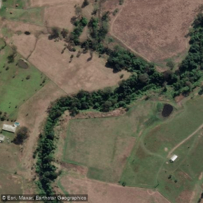
Albert River
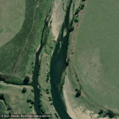
Brisbane River
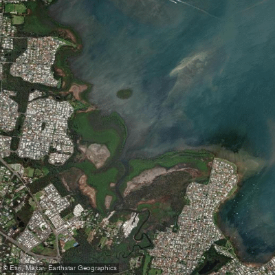
Eprapah Creek
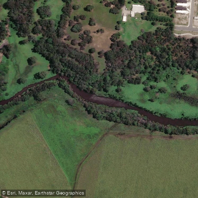
Pimpama River
Explore Queensland waters
Top paddling waters
No waters available right now.
Popular Cities
Loading popular cities...
Explore near Teviot Brook

Smarter Paddling Starts in the App.
Paddleways gives you everything you need to plan smarter, paddle better, and own every trip from first launch to takeout.