Apsley River
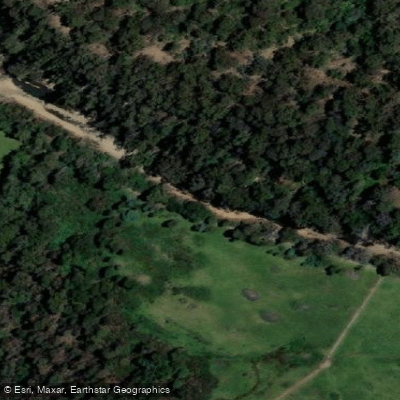
Apsley River
- Boat Ramps
- 0
- Access Points
- 0
- Campsites
- 1
The Apsley River flows through Douglas-Apsley National Park on Tasmania's east coast before meeting the Tasman Sea. The river's character is defined by the park's dry eucalypt forests and heathlands. A primary feature for visitors is the Apsley Waterhole, a popular swimming destination accessible via a short walk, indicating a section of the river suitable for immersion and likely calm water. The waterhole area includes a lookout track. The park offers longer walking routes like the 3 to 4-hour Apsley Gorge loop and the 28-kilometre Leeaberra Track, suggesting the surrounding terrain is rugged and scenic, better suited for hiking than through-paddling. The river has a history of serious flooding, as occurred in 1922, which is a critical safety consideration for paddlers assessing water levels and weather conditions. Paddling-specific resources indicate the existence of defined access points and tools for planning a trip, though details on put-in/take-out locations, recommended routes, or water temperature patterns are lacking. The overall vibe is of a natural river within a protected national park, offering pockets of calm water like the waterhole amidst a landscape better explored on foot. Paddlers should consult the Parks Tasmania website for any specific boating or access regulations within the national park and must be vigilant about potential rapid water level rises.
Water access, boat ramps & amenities
Learn how to get on Apsley River. Uncover great paddling access points, boat ramps, and all the facilities you need for an unforgettable day on the water. Some locations shown may border or include private property. Always check property boundaries and applicable regulations before visiting. PaddleWays's Public & Private Land layer can help you plan your access with confidence.
Paddle smarter with real-time insights
Whether you're en route and conditions shift or you're looking for the best spot based on current flows, we enable you to make informed decisions on the fly.








Find Places to Paddle

Over 400,000 Places to Paddle
Every user gets free access to launch points, boat ramps, and public property parcels.


Water and weather conditions (10 day forecast)
See the best times to paddle Apsley River and check the forecast before you go.
Apsley River(2204) [Apsley River U/S Coles Bay Rd]
All Flow Stations
Paddling near Apsley River
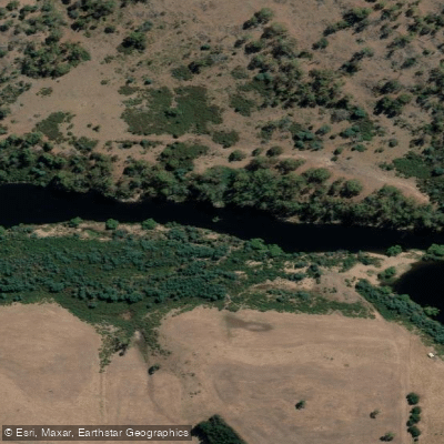
South Esk River
River Tamar
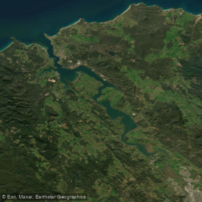
Tamar River
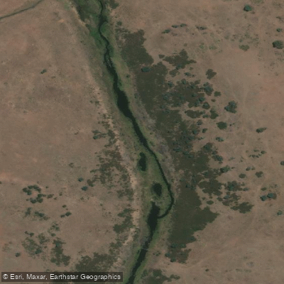
Macquarie River
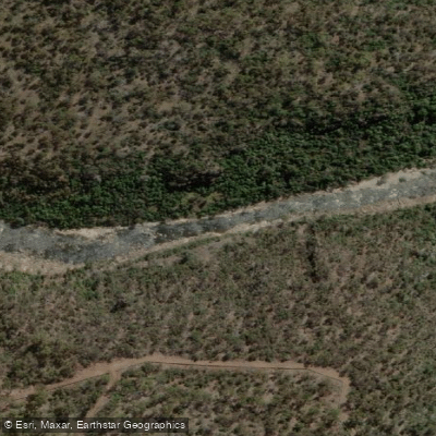
North Esk River
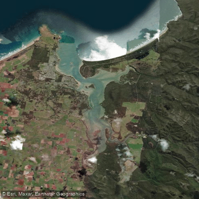
Port Sorell
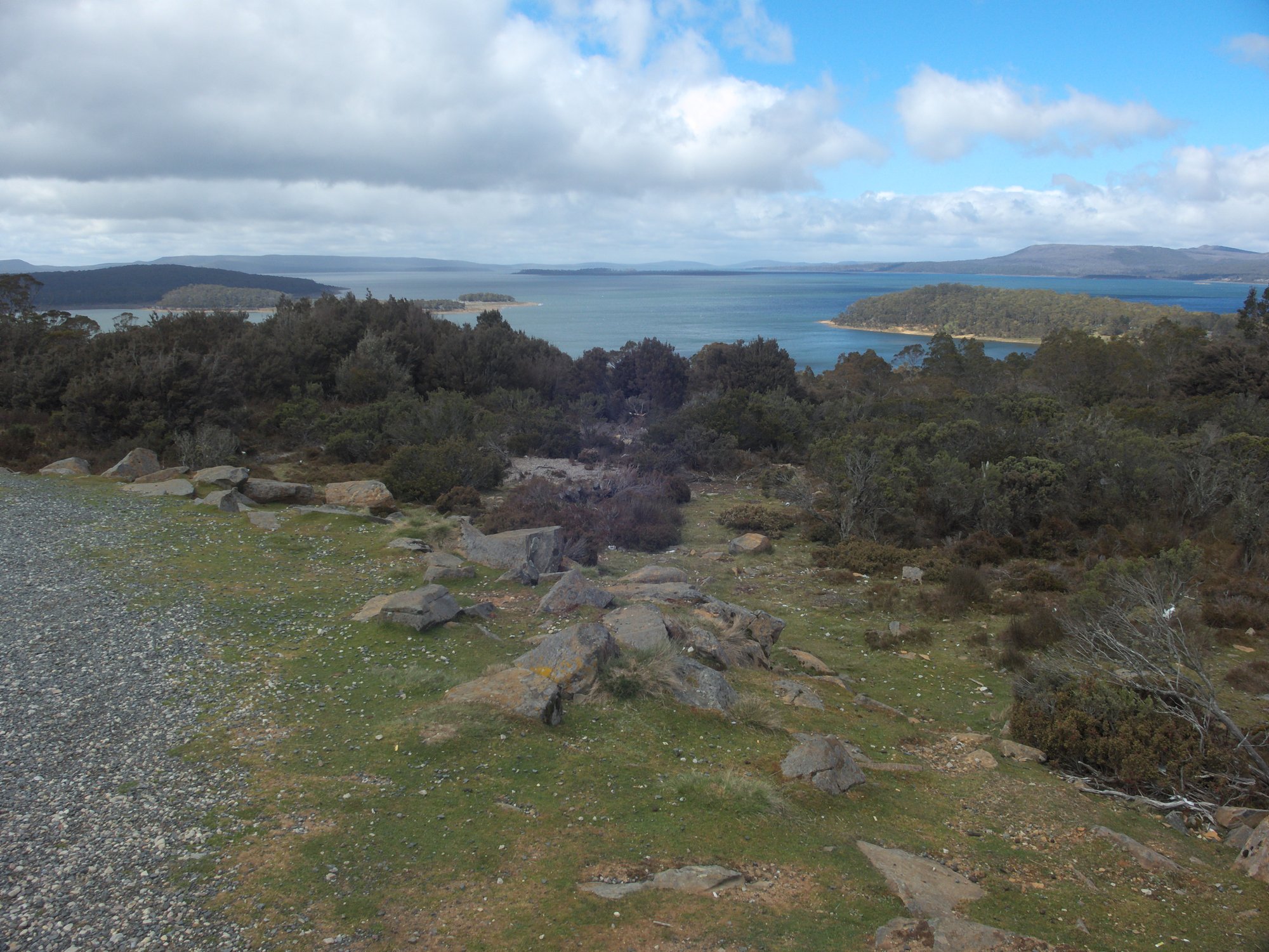
Great Lake
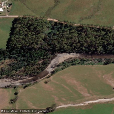
Mersey River
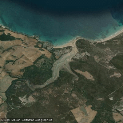
Pipers River
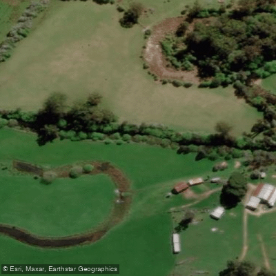
St Patricks River
Explore Tasmania waters
Top paddling waters
No waters available right now.
Popular Cities
Loading popular cities...
Explore near Apsley River

Smarter Paddling Starts in the App.
Paddleways gives you everything you need to plan smarter, paddle better, and own every trip from first launch to takeout.