Betka River
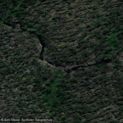
Betka River
- Boat Ramps
- 1
- Access Points
- 0
- Campsites
- 0
The Betka River is located approximately 2.5 kilometres from Mallacoota in Far East Gippsland, Victoria, flowing through the lush native forests of Croajingolong National Park before meeting the coast. The river is tidal in its lower reaches, with salty water in the inlet transitioning to fresh water further upstream, and the bottom changes from sand near the mouth to mud as you progress upriver.
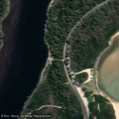
There are two access points near the river mouth: a carpark at the beach, from which paddlers can launch directly into the inlet, and a small gravel boat ramp located across the road. Launching at low tide requires care, as water depth in the inlet can be minimal, and a kayak trolley is recommended for getting boats from the carpark to the water. Paddlers should be mindful of tidal conditions when planning their trip, as low tide can make launching and paddling the inlet challenging.
From the launch point, the route heads upstream, passing under a road bridge — where oysters colonise the pylons — and continuing into the river proper. Progress upstream is eventually halted by fallen trees, making this a there-and-back paddle rather than a through-route. The distance paddleable varies with conditions and water levels.
The river corridor shows visible evidence of past bushfires, with burnt melaleucas lining the banks and some having fallen into the water. These fallen trees also contribute to the blockages that limit upstream travel. Wildlife is a notable feature of the area, consistent with the river's setting within a national park.
Wind can be a significant factor in the broader Mallacoota region, and on days with strong winds forecast — which can reach 30 kilometres per hour or more — the Betka River serves as a sheltered alternative to paddling the more exposed Mallacoota Inlet lakes. The river's relatively protected character makes it a practical option when open-water conditions are unfavourable.
Water access, boat ramps & amenities
Learn how to get on Betka River. Uncover great paddling access points, boat ramps, and all the facilities you need for an unforgettable day on the water. Some locations shown may border or include private property. Always check property boundaries and applicable regulations before visiting. PaddleWays's Public & Private Land layer can help you plan your access with confidence.
Paddle smarter with real-time insights
Whether you're en route and conditions shift or you're looking for the best spot based on current flows, we enable you to make informed decisions on the fly.








Find Places to Paddle

Over 400,000 Places to Paddle
Every user gets free access to launch points, boat ramps, and public property parcels.


Water and weather conditions (10 day forecast)
See the best times to paddle Betka River and check the forecast before you go.
Betka River @ Miners Track
All Flow Stations
Paddling near Betka River

Murrumbidgee River

Molonglo River

Queanbeyan River

Cotter River

Googong Reservoir

Shoalhaven River

Lake Burrinjuck

Goobagandra River

Eucumbene River

Lake Eucumbene
Explore Victoria waters
Top paddling waters
No waters available right now.
Popular Cities
Loading popular cities...
Explore near Betka River

Smarter Paddling Starts in the App.
Paddleways gives you everything you need to plan smarter, paddle better, and own every trip from first launch to takeout.